Picos de Europa Topoguide including 52 well-detailed routes in and around Spain's oldest National Park
121 color photos, 52 elevation profiles, 52 maps at 1:50,000/1:75,000, 2 synoptic maps
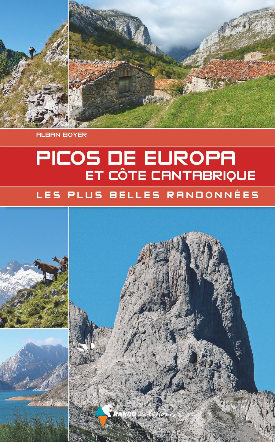
The Picos de Europa National Park is the oldest in Spain and, with an area of over 65,000 hectares, one of the largest in Europe. Centuries ago, the snow-capped peaks of these "Peaks of Europe" were one of the first landmarks for sailors entering the Bay of Biscay. The rugged massif has been under high protection since 1918. Today, hikers explore one of the most fascinating landscapes in Spain. The Rother "Picos de Europa" hiking guide offers 50 highly varied routes, both in valleys and in the mountains. The massif, with its peaks reaching over 2,600 meters above sea level, stretches just 20 kilometers from the Atlantic coast. Charming valleys, isolated mountain pastures, spectacular gorges, and high mountain nooks all create breathtaking views. From peaceful valley hikes to hut-hopping tours and scenic summit climbs, this guide suggests itineraries for every taste, mood, and weather.
Many of the routes can be modified as desired, thanks to the variations and combination possibilities.
Each route is presented with a detailed description of the route, a small map on which it is shown and a significant altimetric profile.
A practical information sheet indicates the difficulties, dining options, swimming spots, and much more. The rich information provided on cultures and traditions, along with numerous photos, provides a beautiful overview of the region.
The GPS tracks can be downloaded free of charge from the Bergverlag Rother website.