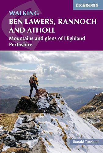
Topoguide (en anglais) de l'éditeur Cicerone pour découvrir cette partie des Highland en Écosse.
Description fournie par l'éditeur :
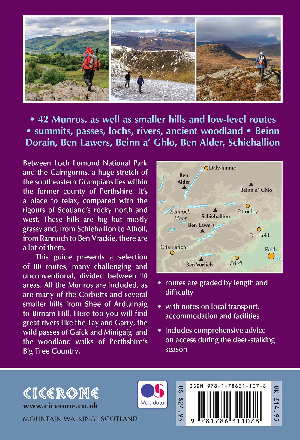
The south-eastern Grampians of the former county of Perthshire may be grassier and less rugged than other Scottish mountains, but they are just as big. The routes in this guide take you to the summits of these jolly green giants - covering all of the region’s Munros, often by unconventional routes, as well as several Corbetts and smaller hills - and also over the Atholl passes, along rivers and through the woods of Perthshire’s Big Tree Country.
With highlights including the mighty Ben Lawers, Beinn Dorain, Ben Alder and Beinn a’ Ghlo; Schiehallion; the great rivers Tay and Garry; the Birks of Aberfeldy; and old drovers routes over the passes of Minigaig and Gaick, Perthshire has plenty to offer. And with historic towns, such as Perth and Pitlochry, this is an ideal base for a walking holiday.
The 80 walks comprise a mixture of low-level, mid-level and mountain routes and are graded by both length and difficulty. Many are demanding, crossing remote, uneven, steep and / or pathless terrain, but also included are gentler walks on clear paths taking in local features of interest.
The route description is illustrated with clear mapping (a mixture of OS 1:50,000 and smaller-scale maps for the longer routes) and the route summary table and grading information make it easy to choose an appropriate route. There is a wealth of information about the landscape and the region’s fascinating history.
ISBN/EAN : 9781786311078
Publication date: 2021
Pagination: 320 pages
Folded dimensions: 17.2 x 11.6cm
Language(s): English
Weight:
360 g


