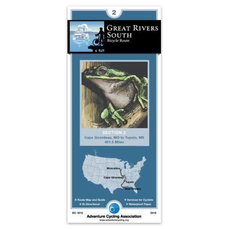
Great Rivers South - Bicycle Route #2 | Adventure Cycling Association carte pliée Adventure Cycling Association

Great Rivers South - Bicycle Route #2 | Adventure Cycling Association

Price
Regular price $17.00
Regular price Sale price $17.00
Save $-17
/
  • Shipping within 48 business hours from our warehouse in the USA. For this product, customs fees may be requested by the carrier upon delivery.
  • Delivery costs calculated instantly in the basket
  • Free returns (*)
  • Real-time inventory
  • In stock, ready to ship
  • Backordered, shipping soon
Tax included.

Often purchased together:

At Cape Girardeau, the road crosses the Mississippi River

Illinois state highways are wide, two-lane roads with moderate traffic and no shoulders.

Most of the remainder of the route is on narrow two-lane country roads with no hard shoulders and very little traffic.

In western Kentucky, the route follows lightly traveled county roads over short, steep hills

The “Trace Road” through the Land Between the Lakes Recreation Area is a two-lane road with no shoulders and light to moderate traffic.

No commercial vehicles are allowed and a speed limit of 45 mph is strictly enforced.

In Tennessee, the route is a grueling roller coaster, mostly on well-maintained two-lane county and state roads.

Near Shady Grove, the route joins the Natchez Trace Parkway

The Natchez Trace offers two-lane roads with no shoulders and light traffic

The width of the route is 400 to 1,000 feet, with wider right-of-way areas of historical, scientific and recreational value.

Adventure Cycling maps are created by cyclists, for cyclists, and are among the best available for those seeking discovery and adventure.


ISBN/EAN : 9780935108484
Publication date: 2018
Folded dimensions: 8.25"x4"
Language(s): English
Weight: 90 g

Customer Reviews

Be the first to write a review
0%
(0)
0%
(0)
0%
(0)
0%
(0)
0%
(0)