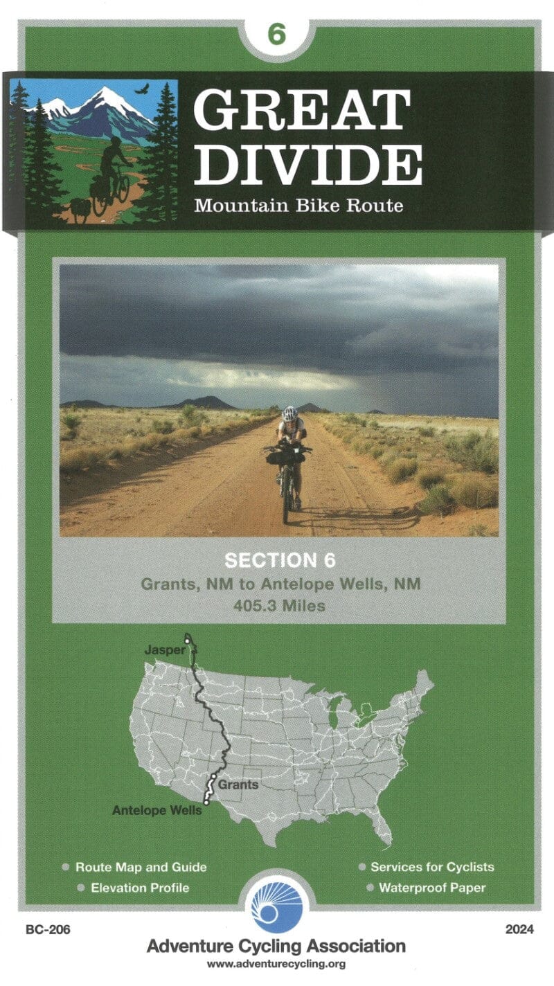
Cycling map edited by the Adventure Cycling Association. p>
The map is waterproof and designed to hold in a window or a jersey pocket. It provides cyclist - specific information: bicycle shops, food and water supply sources and list of night accommodation, including camping facilities, small hotels and hiking accommodation. p>
Description of the publisher: p>
this stretch begins in Pie Town, Home To The Pie - O - Neer Cafe, Famous for ITS ... Yep, You Guessed It. em>
from Pie Town All The Way to The Mexican Border The Route Toys With The Continental Divide, Crossing IT # Fewer Than 11 Times. After skirting The Barren Plains of San Augustin, Then Climbing Across The Exceptionally Steep and Rugged Mountains of the Gila National Forest, Where Each Steep Descent is Followed by An Equally Steep Climb, The Route Pulls Into Silver City. Here The Mountains End and The Desert Begins. em>
South of Silver City The Road Eners True Desert, Rich with Lizards and Road Runners. For Several Miles North of Sear The Route Follows Directly Along The Continental Divide, Providing Stunning Views of the Empty Country Stretching Away in Every direction. The Exceptionally Low - Traffic State Highway 81 Leads to The International Border at Antelope Wells, Through A Wild - Western Landscape That Provides A Memorable End To The Worls Longst Mountain Bike Road. em> p>
ISBN/EAN : 9780935108583
Publication date: 2024
Language(s): English
Weight:
89 g