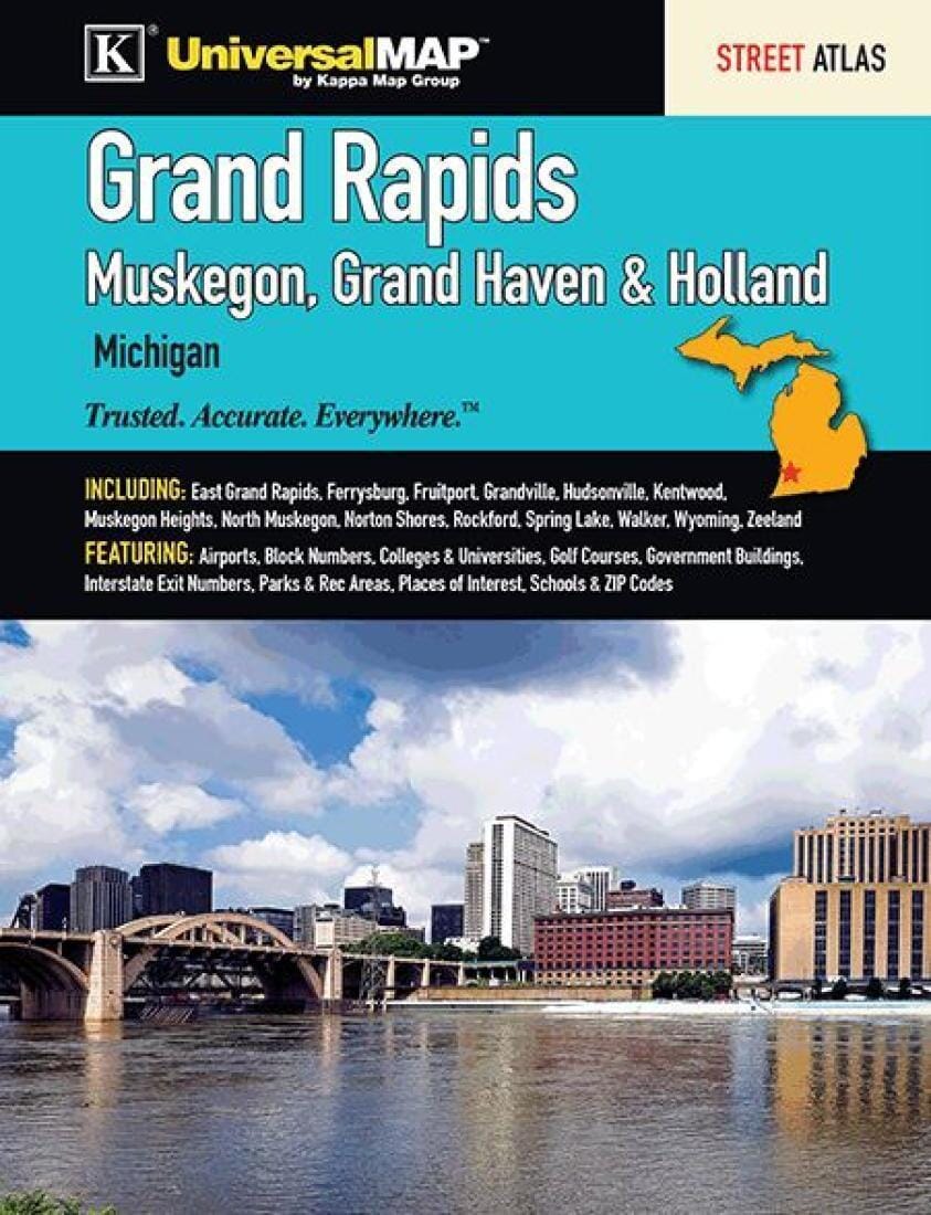
Grand Rapids Street Atlas (Muskegon, Grand Haven, & Holland) | Kappa Map Group
Regular price
$29.00
Regular price
Sale price
$29.00
Save $-29
/
- Shipping within 48 business hours from our warehouse in the USA. For this product, customs fees may be requested by the carrier upon delivery.
- Delivery costs calculated instantly in the basket
- Free returns (*)
- Real-time inventory
Related geographic locations and collections: Michigan

![Huron-Manistee National Forest [Map Pack Bundle] | National Geographic carte pliée](http://mapscompany.com/cdn/shop/products/huron-manistee-national-forest-pack-de-cartes-national-geographic-carte-pliee-national-geographic-120798.jpg?v=1694455304&width=900)