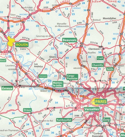
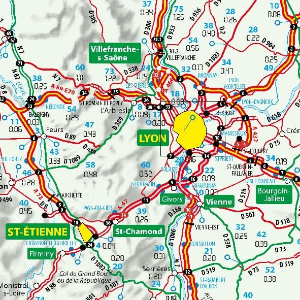
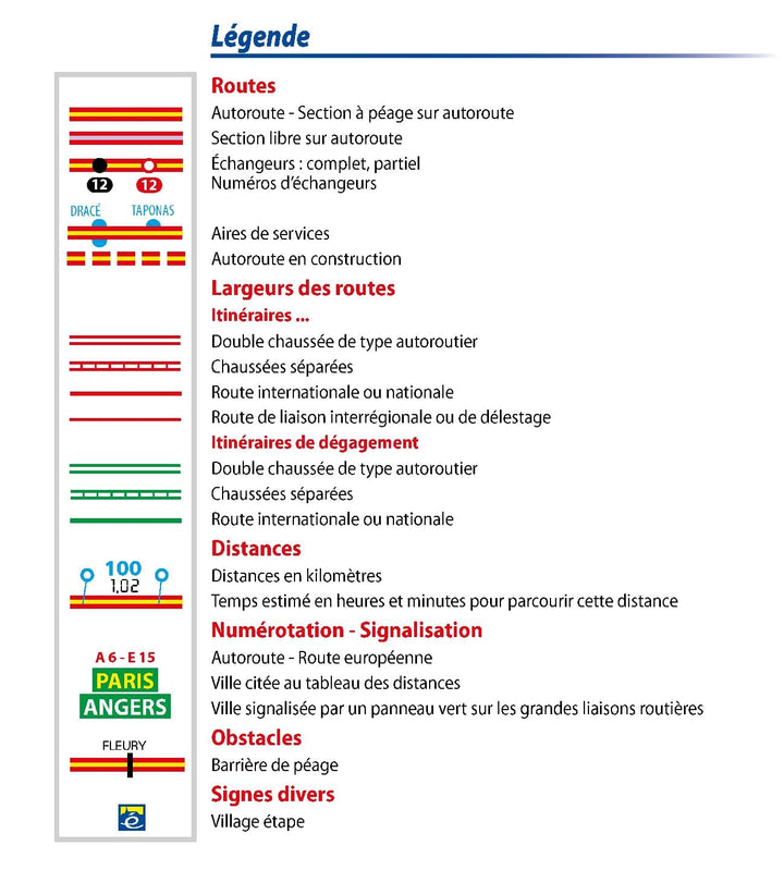
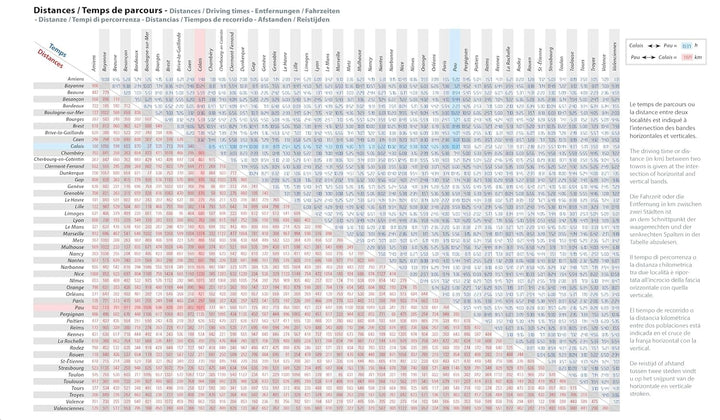
Road Map of France with main and secondary networks, distances, and a city index. Tourist sites highlighted in the Michelin Green Guide are prominently featured.
- Clear overview of the country’s major road networks.
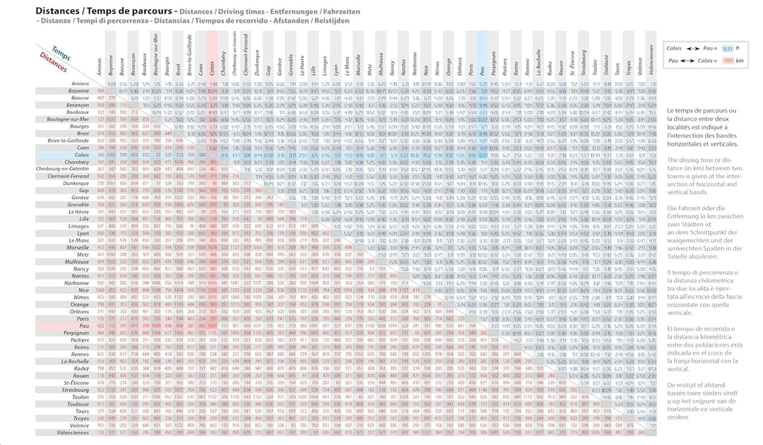
- Intuitive estimation of travel times and distances.
- Scale: 1:1,000,000 (1 cm = 10 km).
Highlights:
- Recommended routes.
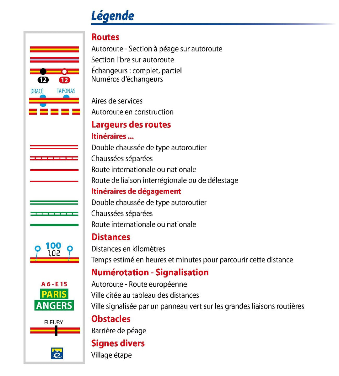
- Intuitive legend.
- Alternate routes (bypass routes to avoid heavy traffic).
- Distance and travel time table.
ISBN/EAN : 9782067264922
Publication date: 2024
Scale: 1/1,000,000 (1cm=10km)
Folded dimensions: 25 x 12cm
Language(s): multilingual including French
Weight:
76 g


