Flat Tops South by National Geographic Maps

Trails map of Flat Tops South (Colorado), # 151 | National Geographic

Price
Regular price $15.00
Regular price Sale price $15.00
Save $-15
/
  • Shipping within 48 business hours from our warehouse in the USA. For this product, customs fees may be requested by the carrier upon delivery.
  • Delivery costs calculated instantly in the basket
  • Free returns (*)
  • Real-time inventory
  • Low stock - 2 items left
  • Backordered, shipping soon
Tax included.

Often purchased together:

• Waterproof • Tear - Resistant • Topographic map

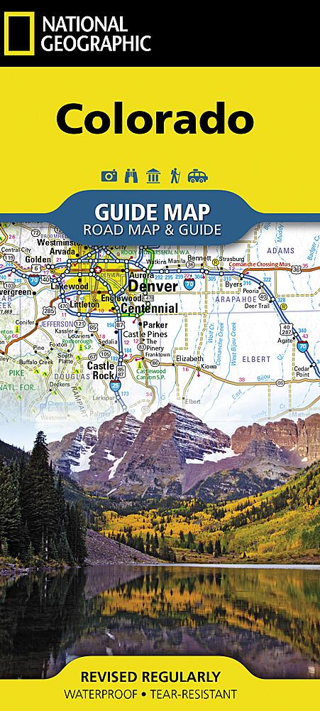
National Geographic's Trail Illustrated map of Flat Tops South offers detail for outdoor enthusiasts looking to explore this area of Colorado, regardless of the season. Expertly researched and created in partnership with the U.S. Forest Service, Bureau of Land Management and others, this map features key points of interest, including White River National Forest, Flat Tops Wilderness, Hardscrabble and Gypsum Hills Recreation Areas, Rifle Falls and Rifle Gap State Parks, Glenwood Canyon plus the Colorado and Eagle Rivers.

Trailheads will lead you to clearly marked trails with mileage markers, color coded according to their designated usage, whether you’re interested in hiking, climbing, horseback riding, biking, snowmobiling or ATVing . For water enthusiasts, a river difficulty scale chart is included along with a QR code connecting you to the National Stream Information Program for real - time water level updates. The map base includes


ISBN/EAN : 9781566956918
Publication date: 2019
Folded dimensions: 7.48 x 3.94 inch / 19 x 10cm
Unfolded dimensions: 36.61 x 24.8 inches / 93 x 63cm
Language(s): English
Weight: 3.2 oz

Customer Reviews

Be the first to write a review
0%
(0)
0%
(0)
0%
(0)
0%
(0)
0%
(0)