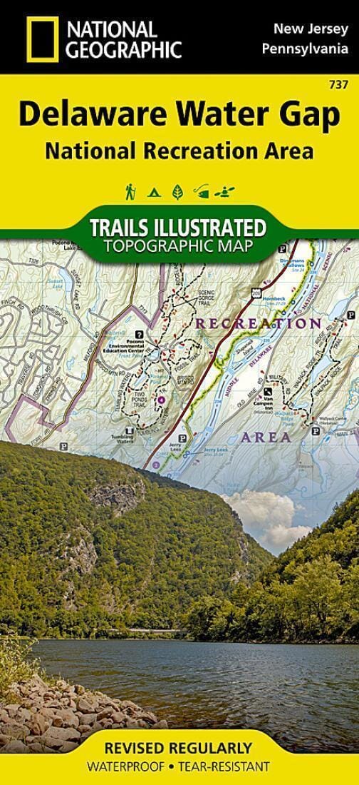
Delaware Water Gap, Map 737 by National Geographic Maps

Hiking map No. 737 - Delaware Water Gap (New Jersey, Pennsylvania) | National Geographic

Price
Regular price $17.00
Regular price Sale price $17.00
Save $-17
/
  • Shipping within 48 business hours from our warehouse in the USA. For this product, customs fees may be requested by the carrier upon delivery.
  • Delivery costs calculated instantly in the basket
  • Free returns (*)
  • Real-time inventory
  • In stock, ready to ship
  • Backordered, shipping soon
Tax included.

Often purchased together:


- Waterproof - Tear-Resistant - Topographic Map

This National Geographic topographic map provides detailed and useful information for paddlers, fishermen, hikers, and other adventurers looking to explore this 70,000-acre park. The region's unique terrain, with its sparsely forested mountains and 1,000-foot-deep waterhole, is the map's main feature, with detailed elevation contours, shaded relief, vegetation, and water features. Key areas of interest include the Middle Delaware River, High Point, Swartswood, and Kittatinny Valley State Parks, and the Stillwater Natural Area.

With miles of mapped trails, including portions of the Appalachian, Liberty Gap, and Joseph M. McDade Trails, this map can guide you off the beaten path and back on it. Trail mileage between intersections will help you choose the best route for you. River mileage and rapids along the Middle Delaware River are indicated for those exploring by boat. Hiking, biking, and equestrian trails, as well as major and minor roads, are indicated.


ISBN/EAN : 9781566956291
Publication date: 2020
Folded dimensions: 9.45 x 4.33 inch / 24 x 11cm
Unfolded dimensions: 37.01 x 24.8 inches / 94 x 63cm
Language(s): English
Weight: 3.2 oz

Customer Reviews

Be the first to write a review
0%
(0)
0%
(0)
0%
(0)
0%
(0)
0%
(0)