Condor Circuit Trekking Map | Trekking Chile

Price
Regular price $26.00
Regular price Sale price $26.00
Save $-26
/
  • Shipping within 48 business hours from our warehouse in the USA. For this product, customs fees may be requested by the carrier upon delivery.
  • Delivery costs calculated instantly in the basket
  • Free returns (*)
  • Real-time inventory
  • Low stock - 2 items left
  • Backordered, shipping soon
Tax included.

Often purchased together:

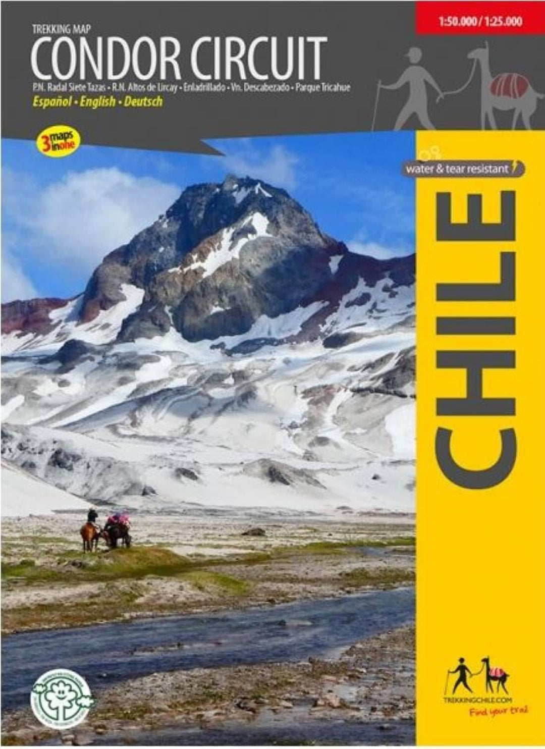
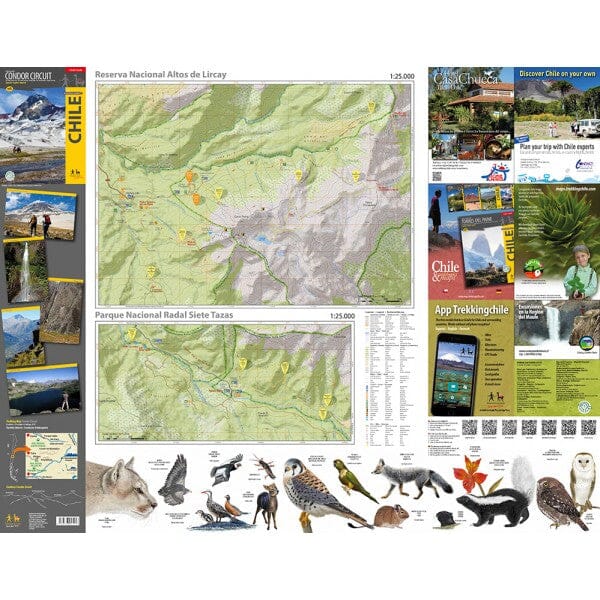
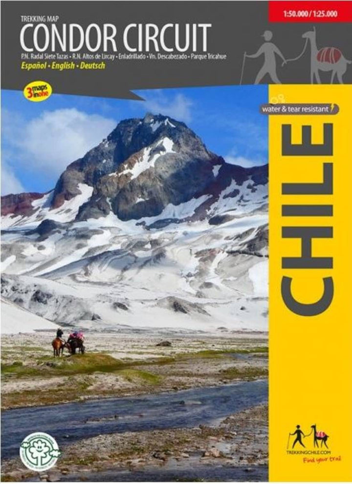
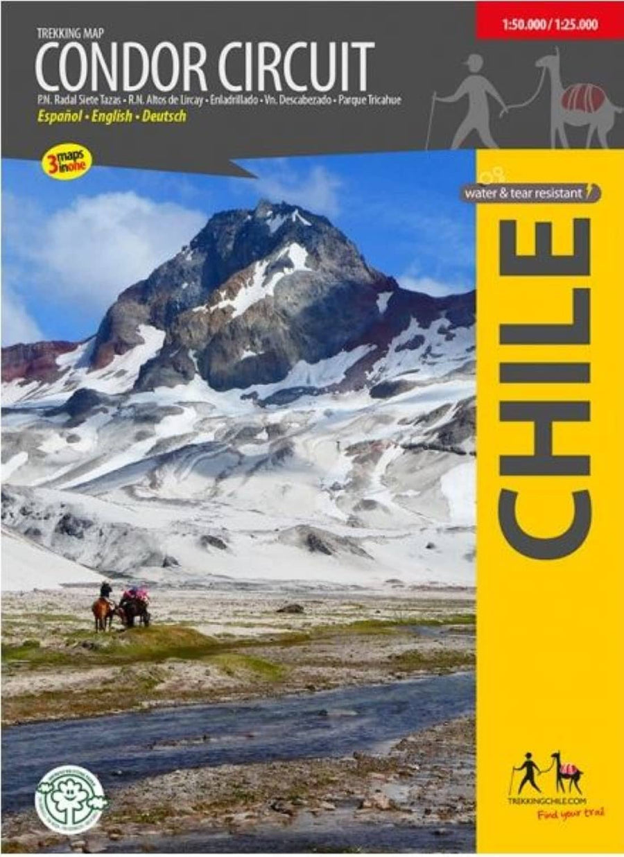
Completely revised map of the naturally beautiful and pristine territory between the natural preserves of Altos de Lircay and Siete Tazas, including Descabezado Grande volcano and the Condor Circuit hiking route. With level curves each 50 m, hiking routes, thermal baths, campsites and lodgings, landscape pictures and drawings of the local fauna. GPS compatible. QR codes take you directly to the tour descriptions in the Trekkingchile app. Detail maps 1:25,000 of the Radal Siete Tazas and Altos de Lircay nature preserves. Trekkingchile, 6th edition 2019 Trekking Map, Central Chile, scale 1:50,000 / 1:25.000 Printed on Stone Paper, water & tear resistant English – German - Spanish.


ISBN/EAN : 9789568925253
Publication date: 2019
Folded dimensions: 7 inches x 5 inches (17 x 12 cm)
Unfolded dimensions: 22 inches x 26 inches (55 x 66 cm)
Language(s): Spanish, English
Weight: 3.1 oz

Customer Reviews

Be the first to write a review
0%
(0)
0%
(0)
0%
(0)
0%
(0)
0%
(0)