Colorado Road and Recreation Atlas | Benchmark Maps

Price
Regular price $35.00
Regular price Sale price $35.00
Save $-35
/
  • Shipping within 48 business hours from our warehouse in the USA. For this product, customs fees may be requested by the carrier upon delivery.
  • Delivery costs calculated instantly in the basket
  • Free returns (*)
  • Real-time inventory
  • In stock, ready to ship
  • Backordered, shipping soon
Tax included.

Often purchased together:

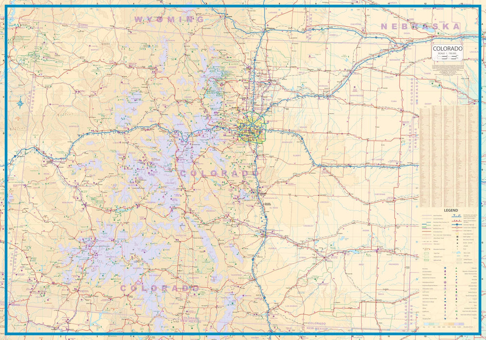
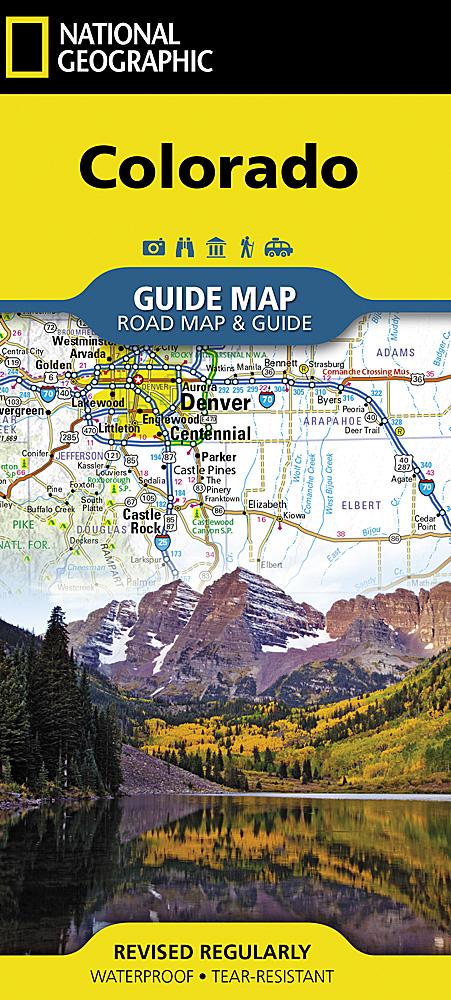
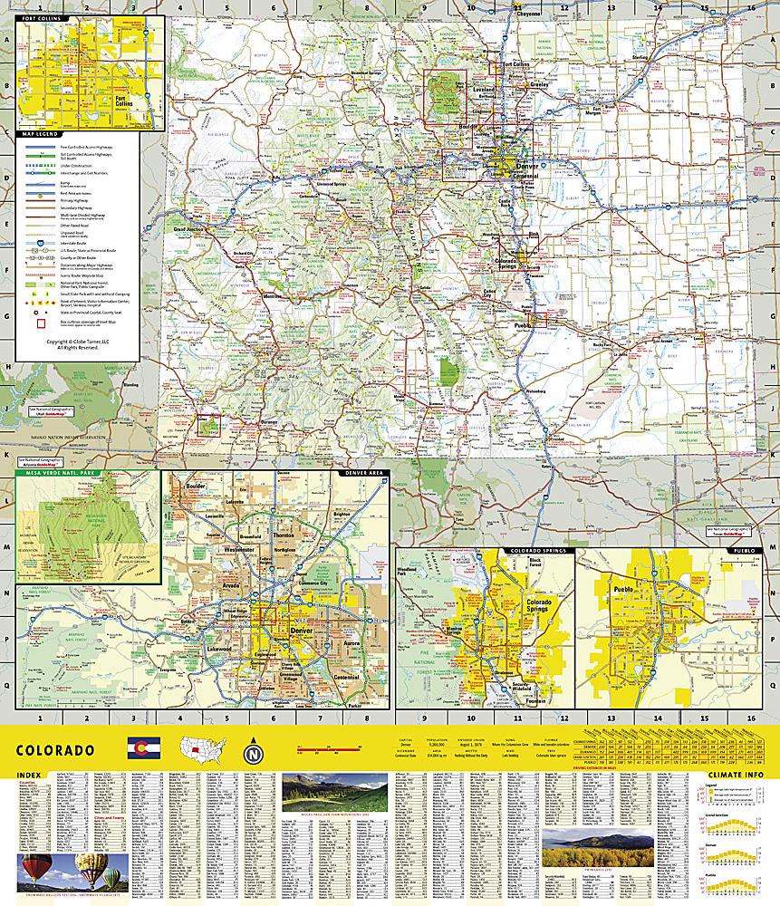
Benchmark's Colorado Road and Recreation Atlas captures the story of Colorado...its fast - moving history, its tremendous mountains, it's cool summer climate, glaciers and snow banks in high ranges, its immense forests and deep canyons. The Landscape Maps reveal landforms with amazing realism and detail clearly showing how the state's vast network of roads and local recreation landmarks fit into the countryside. A complete 30 - page Recreation Guide lists a myriad of outdoor activities, arranged by category, and is the ideal planning tool for any kind of outdoor adventure.
The Third Edition includes State Wildlife Area boundaries and completely updated recreation information. Benchmark field - checkers have driven over 30,000 miles to make sure the Colorado Road & Recreation Atlas is the most accurate, comprehensive and reliable map product ever published for the Centennial State.


ISBN/EAN : 9780929591445
Publication date: 2020
Scale: 1:200,000 & 1:500,000
Unfolded dimensions: 15.35 x 10.63 inch / 39 x 27cm
Language(s): English
Weight: 720 g

Customer Reviews

Be the first to write a review
0%
(0)
0%
(0)
0%
(0)
0%
(0)
0%
(0)