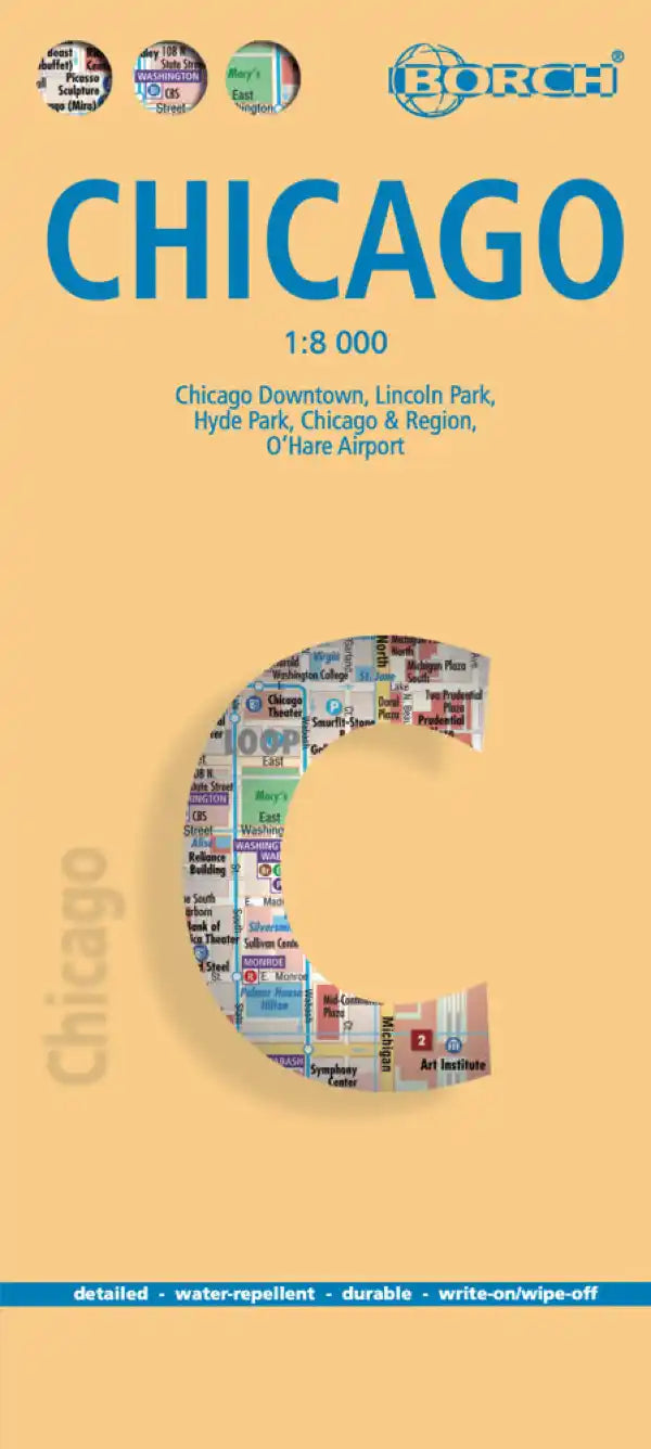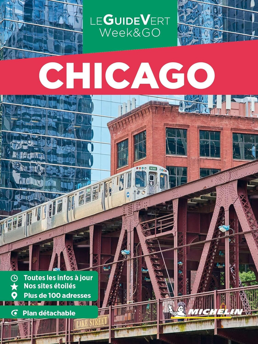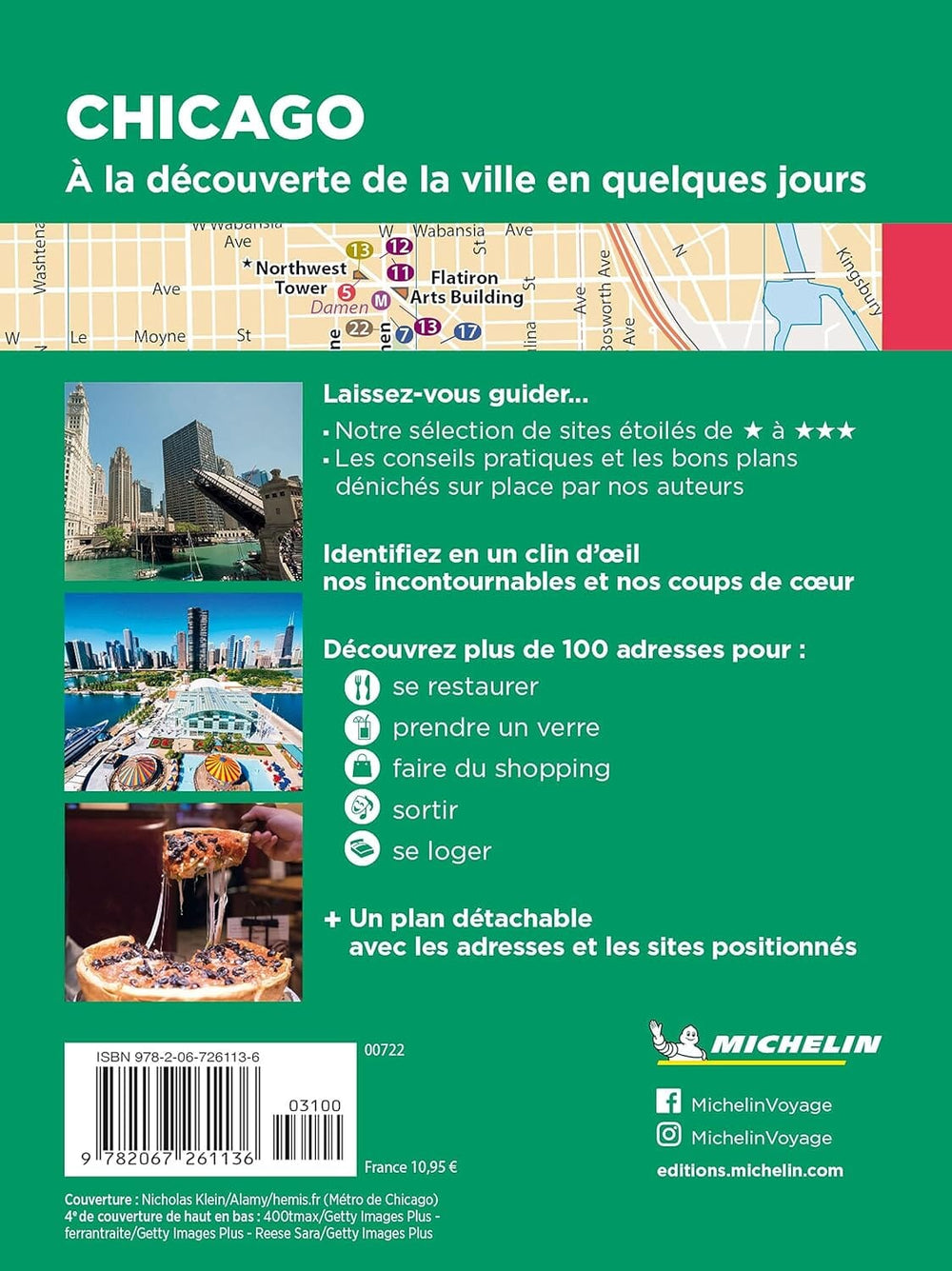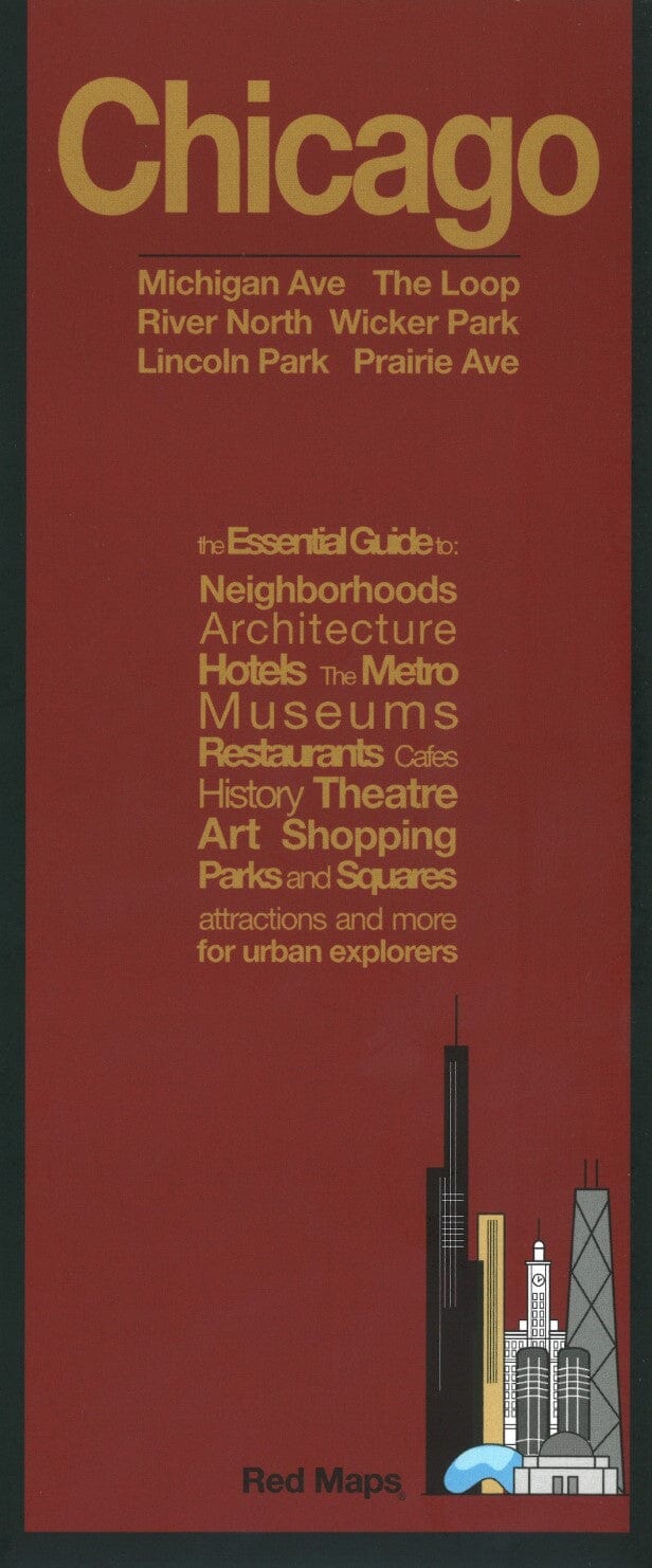
Chicago, Illinois by Red Maps

Chicago, Illinois | Red Maps

Chicago, Illinois | Red Maps

Regular price $27.00
/
  • Ships within 48 business hours from our US warehouse. For this product, customs fees may be requested by the carrier upon delivery.
  • Delivery costs calculated instantly in the basket
  • Free returns (*)
  • Real-time inventory
  • In stock, ready to ship
  • Backordered, shipping soon
Tax included.

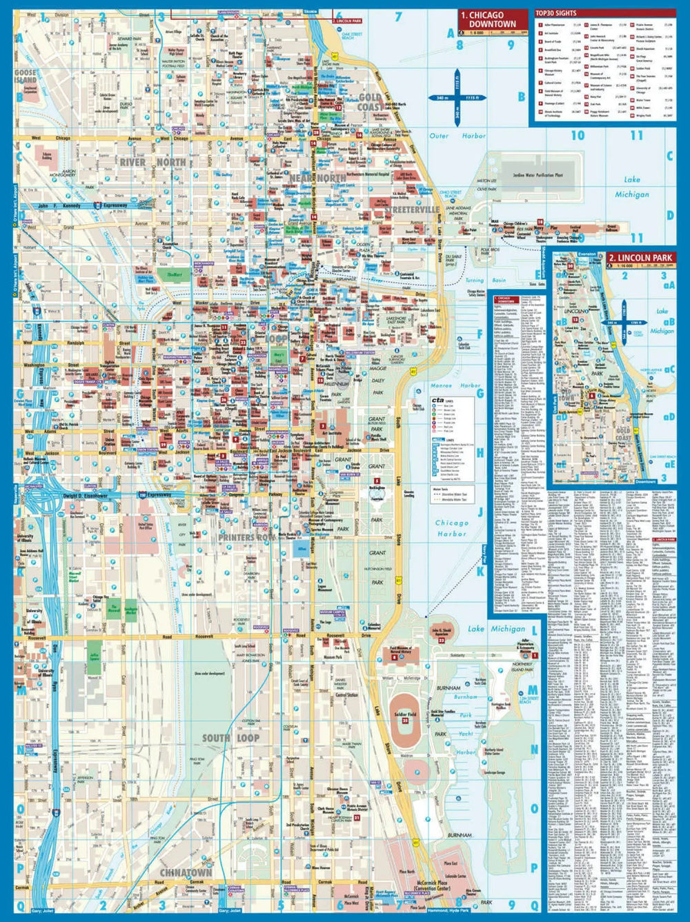
Town center street plans of popular cities from Red Map presented in a handy concertina format and printed on high quality paper. Clear, easy to read mapping highlights tourist sights, museums and galleries, selected hotels, shopping areas, etc, all color-coded for easy reference. Metro and railway stations are prominently marked. Each title includes thematic lists of sights and important buildings, hotels, etc. A special panel provides area-by-area recommendations of shops. A brief index lists a selection of neighborhoods and streets/squares, and metro/rail stations.


ISBN/EAN : 9781892238856
Publication date: 2015
Folded dimensions: 9.45 inches x 3.940 inches (24 x 10 cm)
Unfolded dimensions: 20.47 inches x 8.66 inches (52 x 22 cm)
Language(s): English
Poids : 40 g

Customer Reviews

Be the first to write a review
0%
(0)
0%
(0)
0%
(0)
0%
(0)
0%
(0)