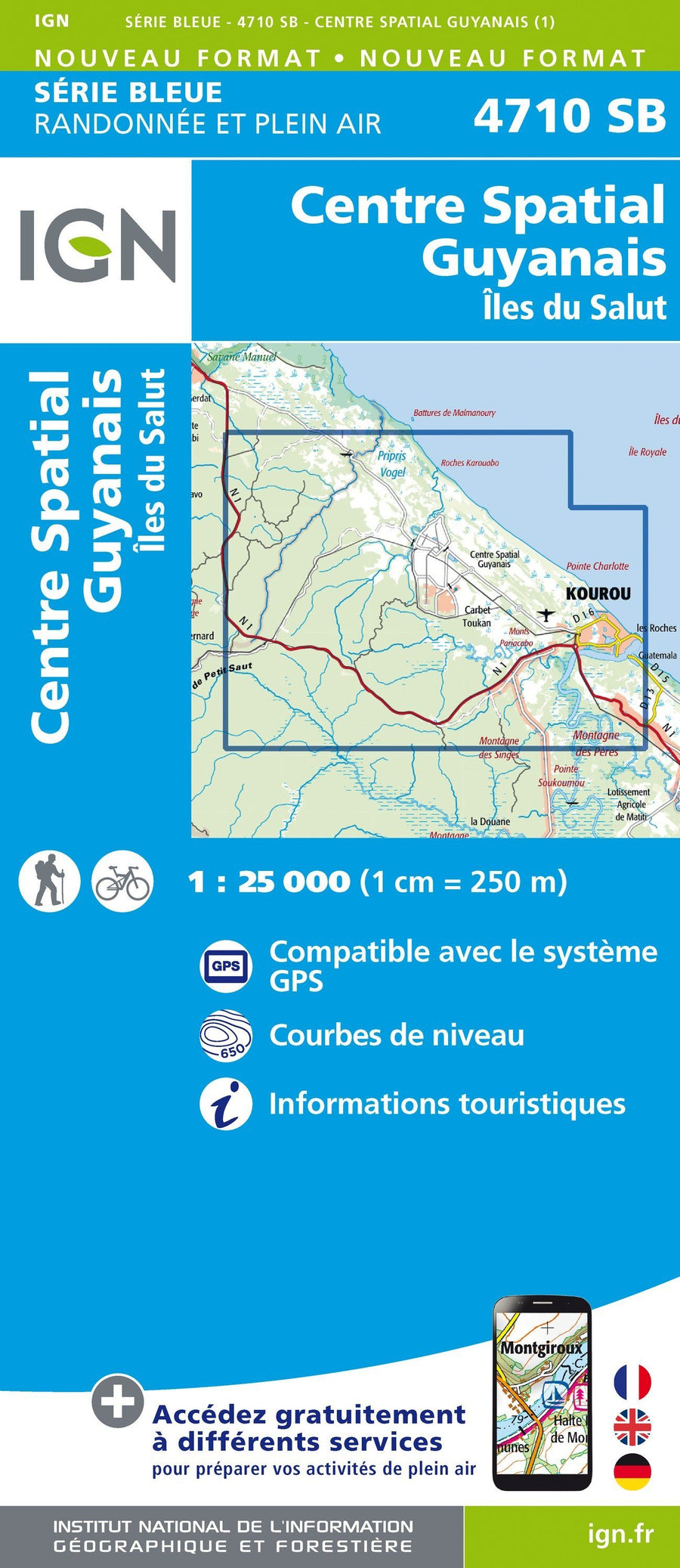
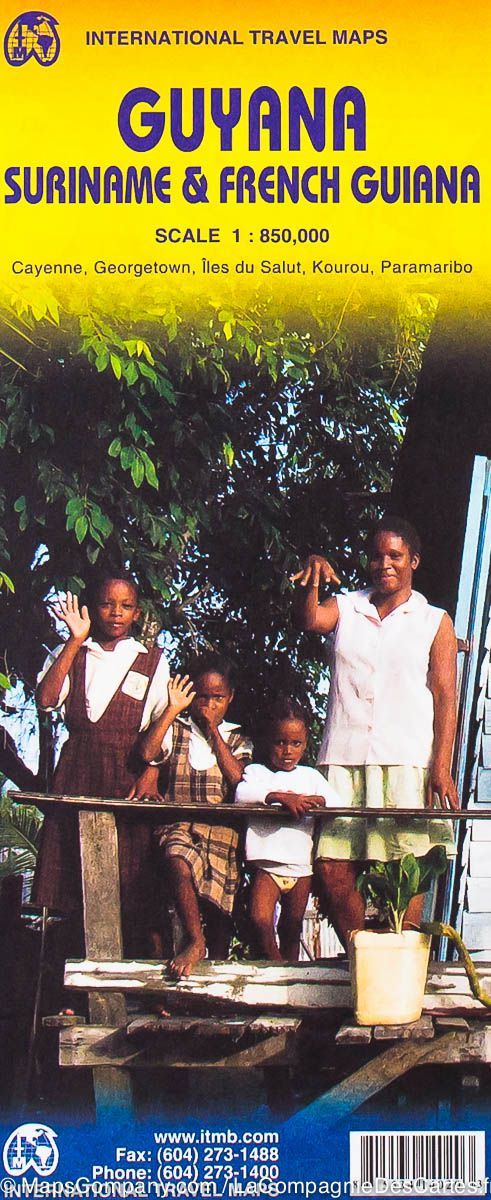
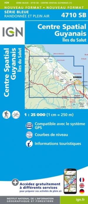
Carte de randonnée n° 4710 - Centre Spatial Guyanais, île du Salut (Guyane) | IGN - Série Bleue carte pliée IGN

Hiking Map # 4710 - Guyanese Space Center, Salvation Island (Guyana) | IGN - Blue Series

Hiking Map # 4710 - Guyanese Space Center, Salvation Island (Guyana) | IGN - Blue Series

Regular price $16.00
/
  • Product on order - Shipping within 5 to 8 working days from our warehouse in France
  • Delivery costs calculated instantly in the basket
Tax included.

Topographic hiking map of the Guyanese Space Center and the Isle of Salvation in Guyana.

The topographic maps of the IGN are of great precision contain all existing details in the field: communication pathways to the slightest path, constructions to the hangar, wood, isolated tree, river, source. .. not to mention the representation of the relief by level curves.


ISBN / EAN : 9782758549901
Date de publication : 2020
Echelle : 1/25,000 (1cm=250m)
Dimensions plié(e) : 22 x 11cm
Dimensions déplié(e) : 96cm x 132cm
Langue : French, English, German
Poids : 89 g

Customer Reviews

No reviews yet
0%
(0)
0%
(0)
0%
(0)
0%
(0)
0%
(0)