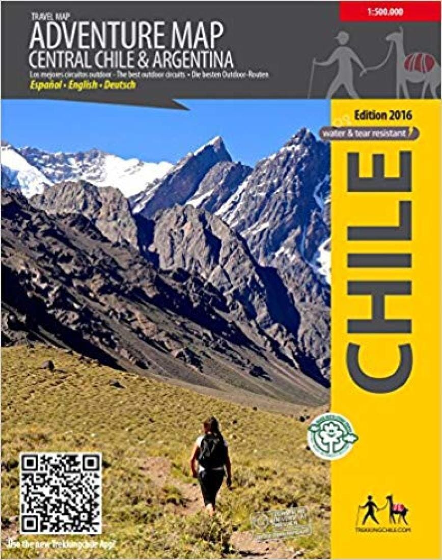
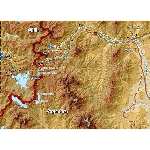
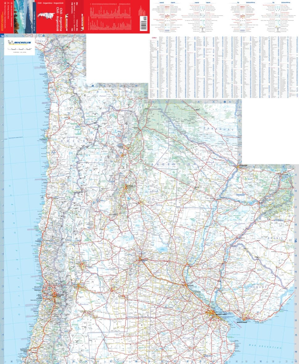
The first cross - border map of Central Chile and the adjacent zone of Argentina. The map shows the circuit Santiago - Talca - Paso Pehuenche - Malargue - Mendoza and indicates multiple outdoor activities along this circuit and on the Pacific coast. It includes bicycle routes such as the crossing of the Andes from Talca to Malargue (Argentina), as well as areas where you can practice trekking, climbing, skiing, surfing, etc. QR codes connect with route descriptions in the Trekkingchile App. Map prepared by the Cartography Institute of the Technical University of Dresden, Germany. Compatible with GPS, with multicolor elevation profile. Printed in Stone Paper, waterproof and unbreakable, ecological. Trekkingchile, 1st edition 2016 Road and bicycle map, Central Chile, scale 1: 500,000 Spanish English German.
ISBN/EAN : 9789568925369
Publication date: 2016
Unfolded dimensions: 23.62 x 31.1 inches / 60 x 79cm
Language(s): Spanish, English
Weight:
150 g


