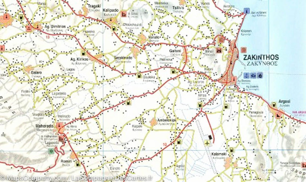
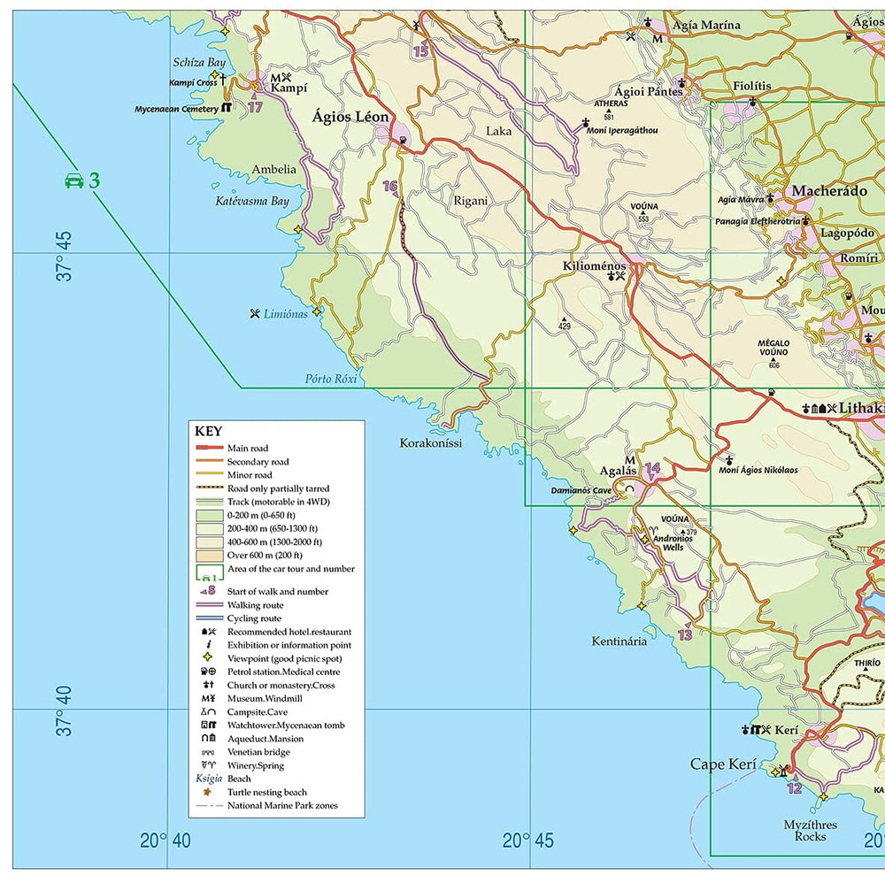
Detailed map - Island of Zakinthos (Greece) | Freytag & Berndt
Regular price
$16.00
Regular price
Sale price
$16.00
Save $-16
/
- Shipping within 24 working hours from our warehouse in France
- Delivery costs calculated instantly in the basket
- Free returns (*)
- Real-time inventory
- Low stock - 2 items left
Related geographic locations and collections: Greece, Greek Islands, zakinthos