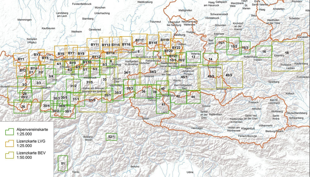
Detailed topographic map for the hike from the Wetterstein Massif and the West Mieminger published by Deutcher Alpenverein (Germany, Austria).
20 m space curves. The coloring of the map and graphics indicate the different types of vegetation and floor cover (rocks, scree ...).
Laminated protective pocket included.
ISBN/EAN : 9783928777193
Publication date: 2017
Scale: 1/25,000 (1cm=250m)
Printed sides: front
Folded dimensions: 21 x 13 x 0.6cm
Unfolded dimensions: 84 x 83cm
Language(s): German
Weight:
85 g


