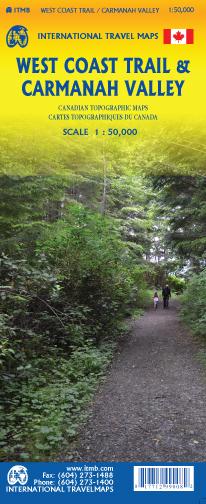
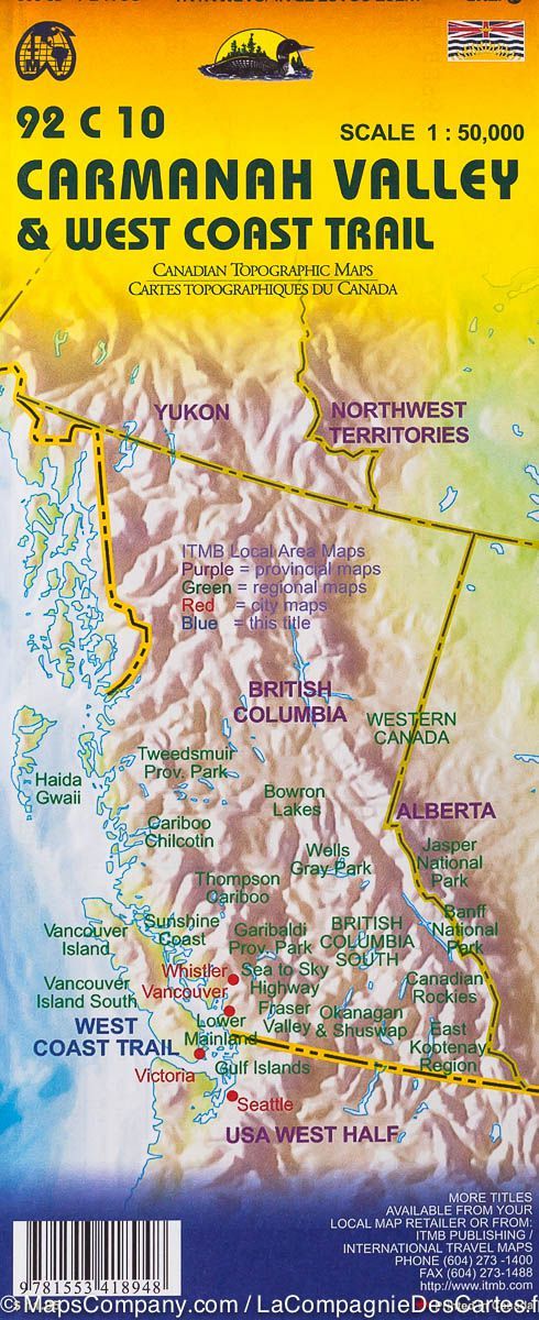
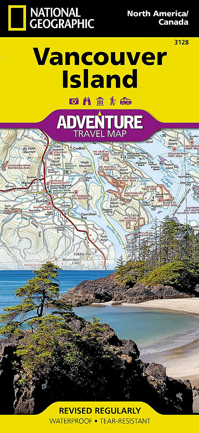
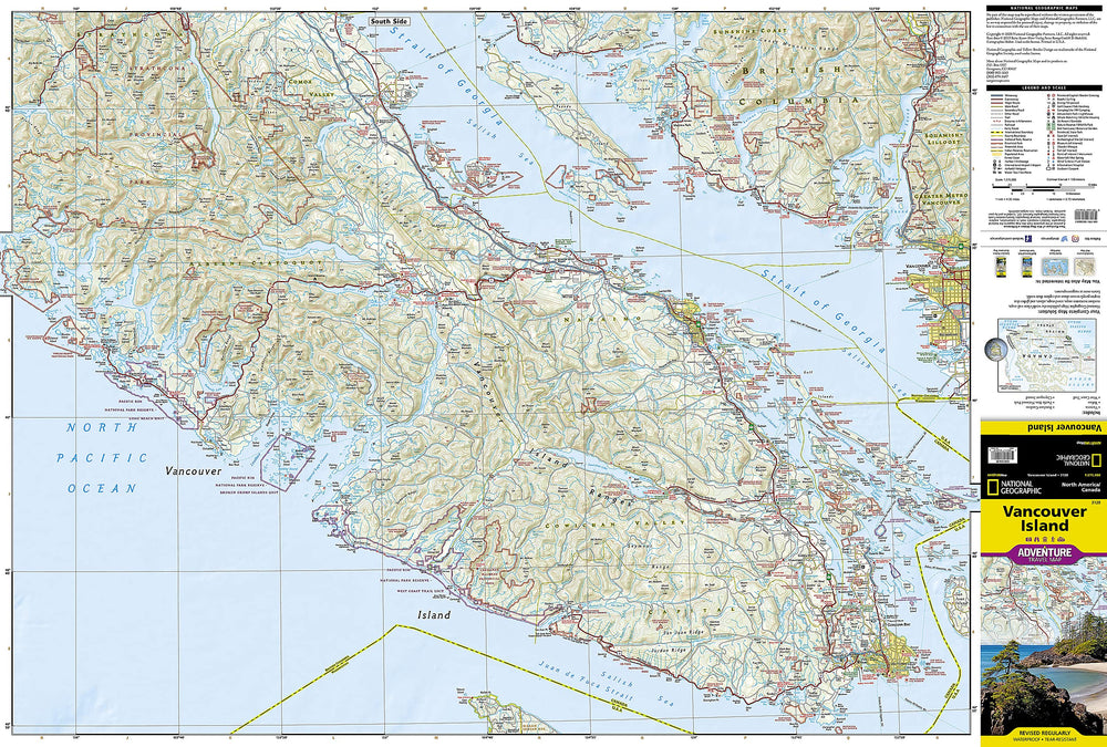
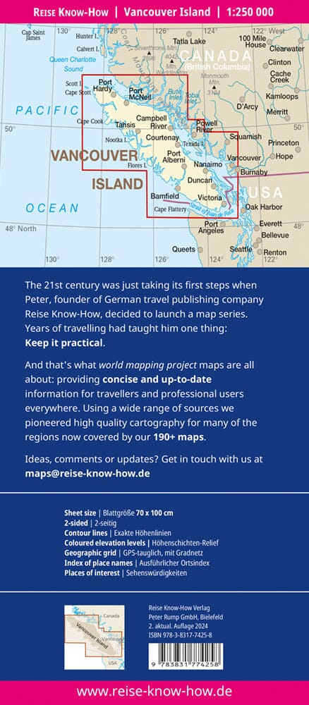
Topographic map of the West Coast Trail and the Carmanah Valley on the island of Vancouver (Canada). Scale 1/50 000.
This map is a specialized hiking map of one of the most difficult trails in North America. It takes a week to do Bamfield in Port Renfrew along the west coast of the West Coast Trail of British Columbia.
This is a recreational map on a detailed scale for anyone who wants to explore the old forests of this part of the island of Vancouver. This includes the Broken Islands group, which is also part of the National Park, and the Carmanah Valley Provincial Park, which houses some of the highest and oldest trees in the world.
The map also includes a multitude of forest roads, shorter hikes, live water kayak areas, wild campsites and canoeing routes from Lake Nitinat.
ISBN/EAN : 9781771299008
Publication date: 2019
Scale: 1/50,000 (1cm=500m)
Printed sides: both sides
Folded dimensions: 24.6 x 10.3 x 0.5cm
Unfolded dimensions: 100 x 68cm
Language(s): English
Weight:
54 g


