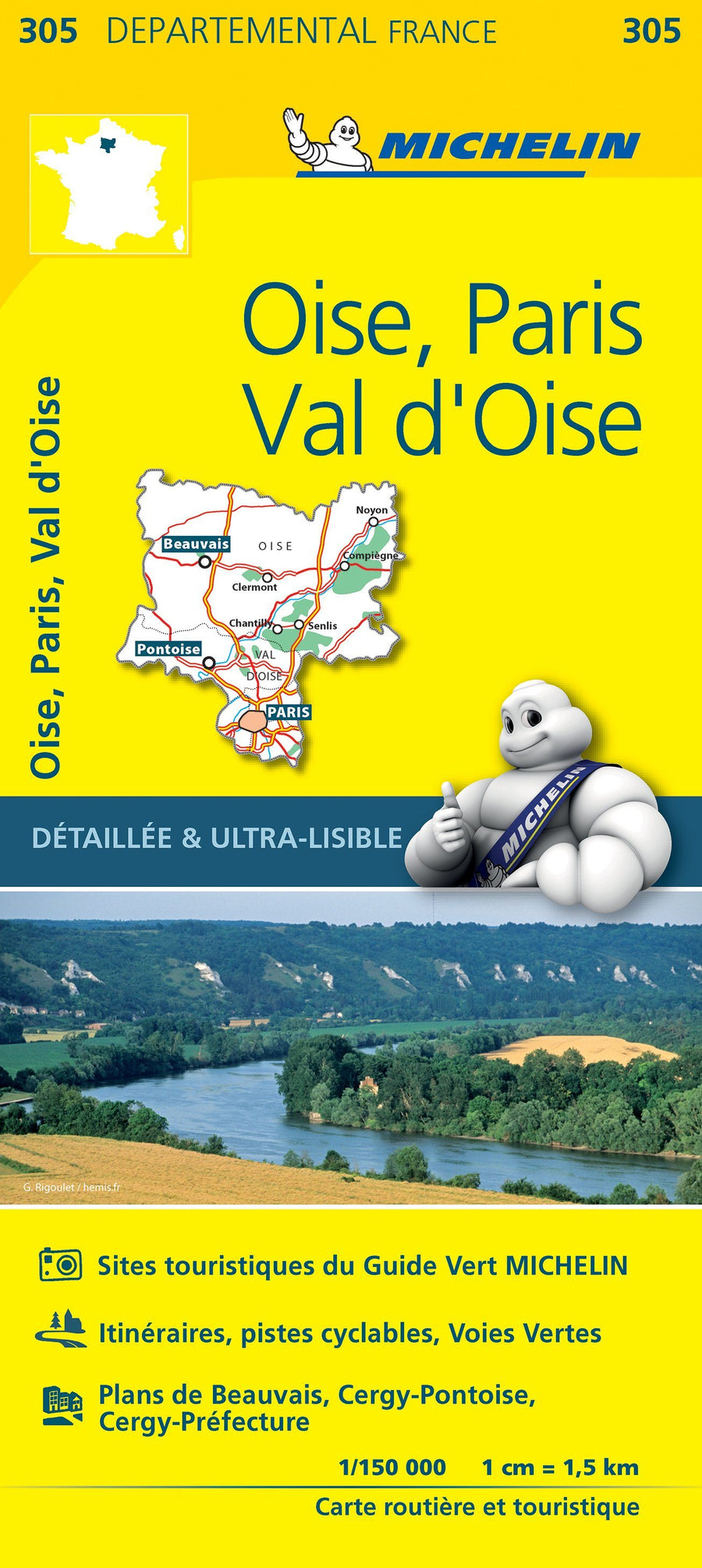
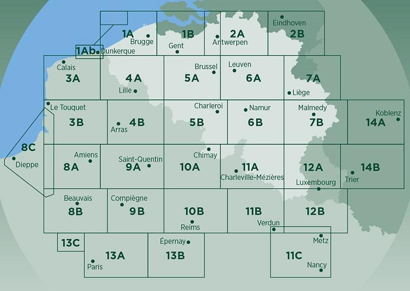
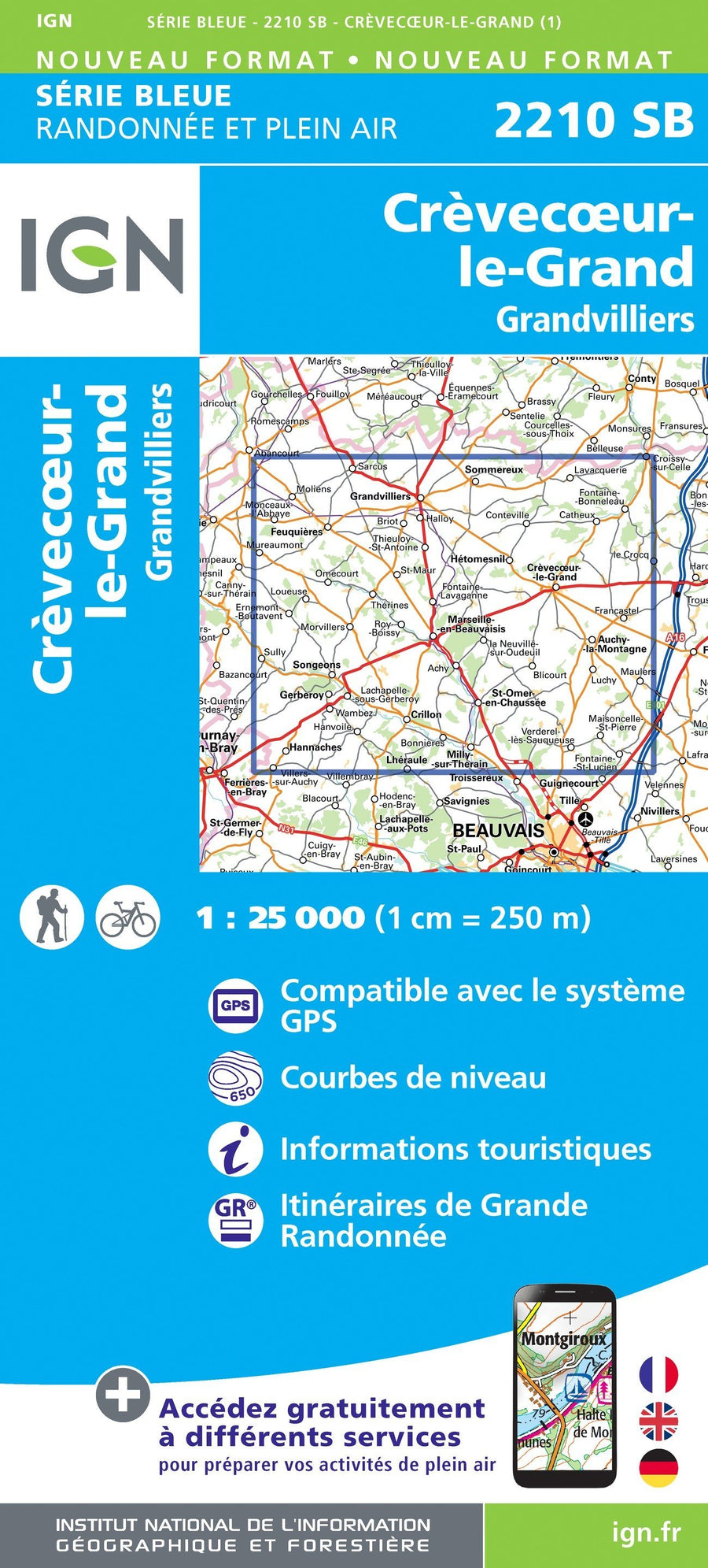
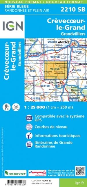
TOP100 D60 Tourist Map - Oise: Beauvais, Compiègne, Chantilly, Senlis, Pnr Oise-Pays de France | IGN

Price
Regular price $10.00
Regular price Sale price $10.00
Save $-10
/
  • Delivery costs calculated instantly in the basket
  • Free returns (*)
  • Real-time inventory
  • In stock, ready to ship
  • Backordered, shipping soon
Tax included.

Often purchased together:

Departmental tourist map published by the IGN.
This new edition has a new departmental division. It includes cycle routes in partnership with the AF3V association – VéloRoutes et Voies Vertes.
The new TOP 100, thanks to its 1:100,000 scale (1 cm = 1 km), is the ideal map for discovering a region and sightseeing on foot, by bike or by car.
A large amount of tourist information is represented in a very precise way in the map: parks and nature reserves, monuments, castles, museums, caves, viewpoints, refuges, climbing and white water sports sites, supervised beaches, etc.
An enhanced network of secondary roads, to allow for safe bike rides:
• For exploring on foot, all of the GR® and GR de Pays®
• For discovery by bike, the entire local road network and all the cycle routes and greenways with the AF3V classification with tarred or stone roads, on dedicated sites or shared with other vehicles
• For discovery by car, the entire road network: national, regional, departmental and secondary.
To complete the mapping:
• The relief is represented by contour lines and elevation points
• An index of municipalities makes it easy to find your way around

Legend in three languages: French, English and German.


ISBN/EAN : 9782758556657
Publication date: 2025
Scale: 1/100,000 (1cm=1km)
Printed sides: front
Folded dimensions: 24 x 25 cm
Language(s): French, English, German
Weight: 70 g

Customer Reviews

Be the first to write a review
0%
(0)
0%
(0)
0%
(0)
0%
(0)
0%
(0)