Laminated tourist map - Grande Traversée des Alpes: Route des Grandes Alpes, GR5 | IGN
Regular price
$12.00
Regular price
Sale price
$12.00
Save $-12
/
- Shipping within 24 working hours from our warehouse in France
- Delivery costs calculated instantly in the basket
- Free returns (*)
- Real-time inventory
- In stock, ready to ship
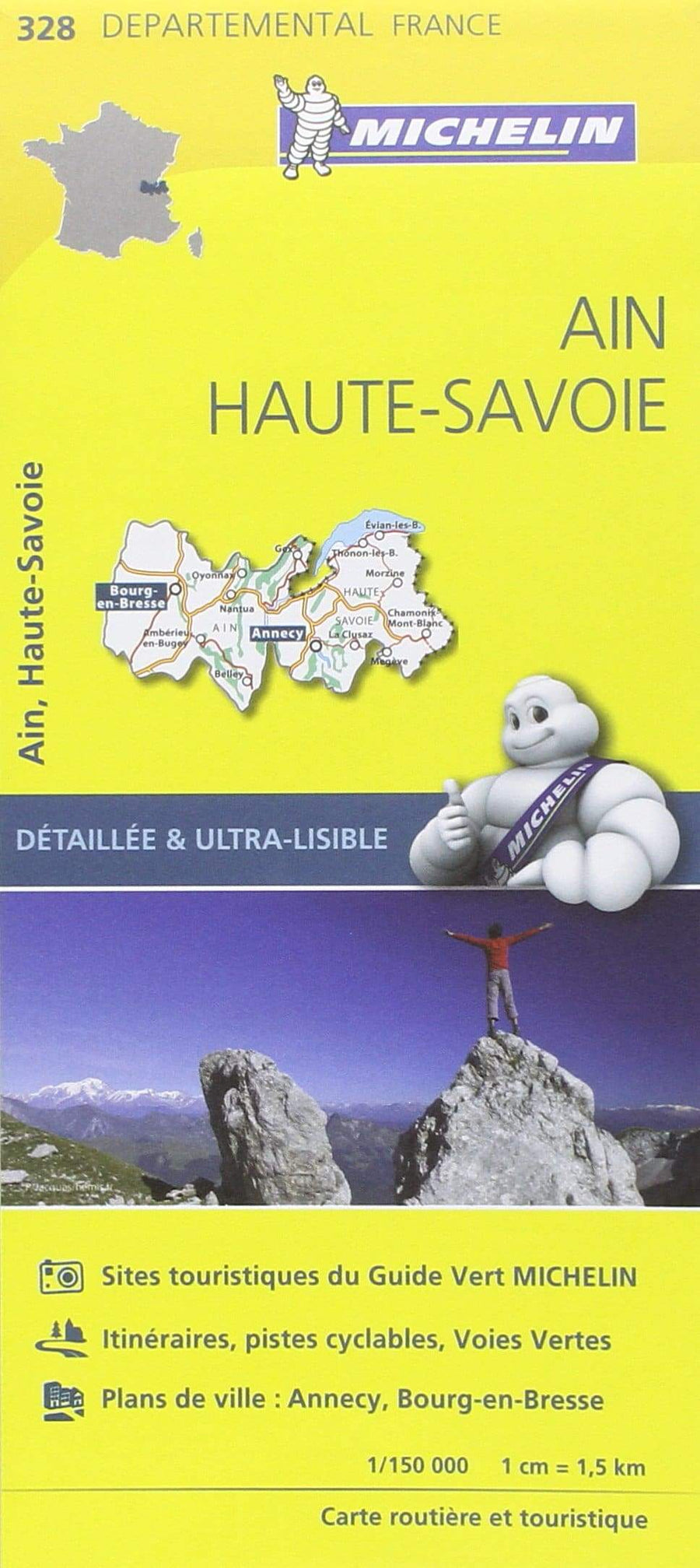
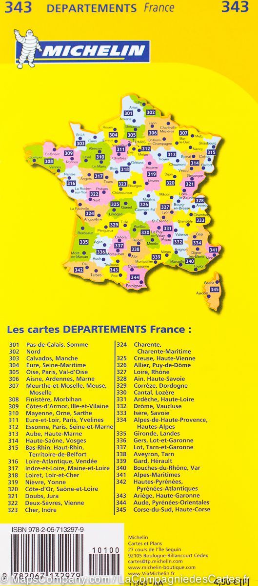
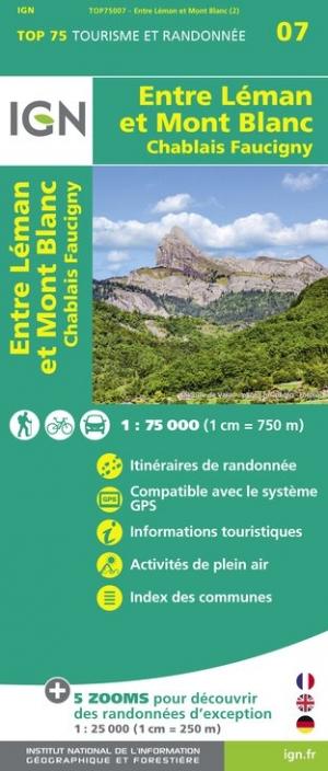
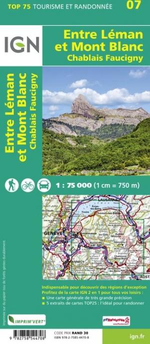
Related geographic locations and collections: Alpes-de-Haute-Provence (department 04), Alpes-Maritimes (department 06), Alps, Alps (hiking maps), French Alps (all hiking), GR5 (GTA) : La Grande Traversée des Alpes (620 km), Haute Route, Haute-Savoie (department 74), Hautes-Alpes (department 05), Menton, New products, Route des Grandes Alpes, Savoie, Thonon-les-Bains