Tourist map of Denmark – with the famous Margueritruten
New : This edition of the Denmark Tourist map now includes the Margueritruten, an iconic 3,600 km route through the country's most Coffee table landscapes. Inaugurated in 1991 by Queen Margrethe, this winding road invites you to explore Denmark off the beaten track .
The Margueritruten, an invitation to slow travel
-
Mainly following country roads, the Margueritruten is not the fastest, but the most inspiring : it guides you through remarkable natural sites, picturesque villages and numerous tourist attractions .
-
It only covers the Danish mainland (islands like Bornholm or Samsø are not included), but the map also shows sea connections to continue your journey beyond the continent.
-
The daisy symbol marks the route on road signs, with arrows indicating changes in direction.
A complete and practical map
This map contains a lot of useful information:
-
🛣️ Complete road network : main roads, motorways with numbering
-
🏖️ Beaches, campsites, tourist sites
-
⛴️ Sea connections with crossing times
-
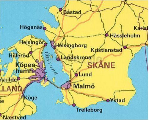
🗺️ Detailed zooms on the Greater Copenhagen region (scale 1:35,000)
-
🌍 Trilingual legend : Danish, German, English
An eco-responsible and sustainable support
-
Printed on mineral paper (Stone Paper) : waterproof, ultra-resistant, and fiber-free – it does not tear when folded and is completely resistant to humidity .
-
Its matte surface significantly improves readability, unlike classic laminated cards.
-
Made without chlorine or water, this support respects both the environment and the demands of the modern traveler.
ISBN/EAN : 9788779671836
Publication date: 2025
Scale: 1/500,000 (1cm=5km) & 1/35,000 (1cm=350m)
Printed sides: both sides
Folded dimensions: 13 x 18cm
Language(s): English, German, Danish
Weight:
101 g