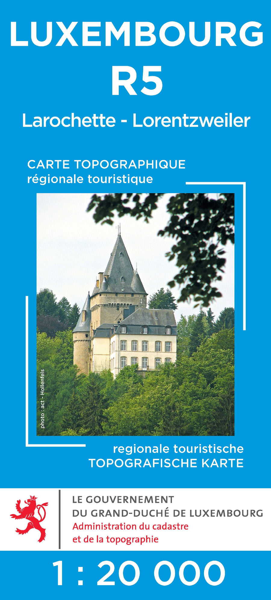
Topographic map # R05 - Larochette, Lorentzweiler (G.D de Luxembourg) (French)

Price
Regular price $10.00
Regular price Sale price $10.00
Save $-10
/
  • Shipping within 24 working hours from our warehouse in France
  • Delivery costs calculated instantly in the basket
  • Free returns (*)
  • Real-time inventory
  • In stock, ready to ship
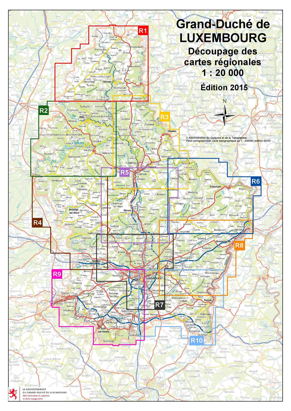
  • Backordered, shipping soon
Tax included.

Often purchased together:

Map of the tourist region of Larochette, Lorentzweiler. Each tourist topographic map covers a specific tourist region, including the following information: - The tourist trails represented with their starting point and the new designation, France - The network of cycling tracks,
- The representation of mountain biking circuits with indication of their sense of markup,
- Tourist information and leisure activities.


ISBN/EAN : 5425013060912
Publication date: 2015
Scale: 1/20,000 (1cm=200m)
Folded dimensions: 11x24cm
Language(s): French
Weight: 104 g

Customer Reviews

Based on 1 review
100%
(1)
0%
(0)
0%
(0)
0%
(0)
0%
(0)
R
Robin V.K. (Leiderdorp, NL)
Great hiking maps

I often go hiking in Luxembourg, and I always use these maps. They are very detailed and precise, which helps finding my way. Furthermore, they show many hiking routes such as the Auto Pedestre and the GRs.
I really like that the maps also show extra information, such as camping sites, point de vues, memorial sites and much more.