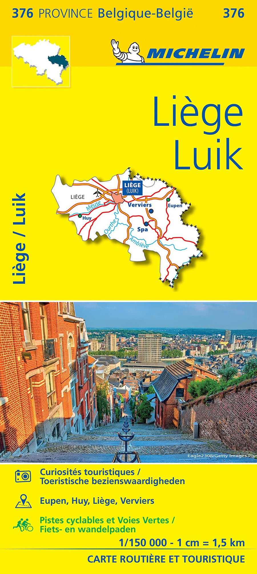
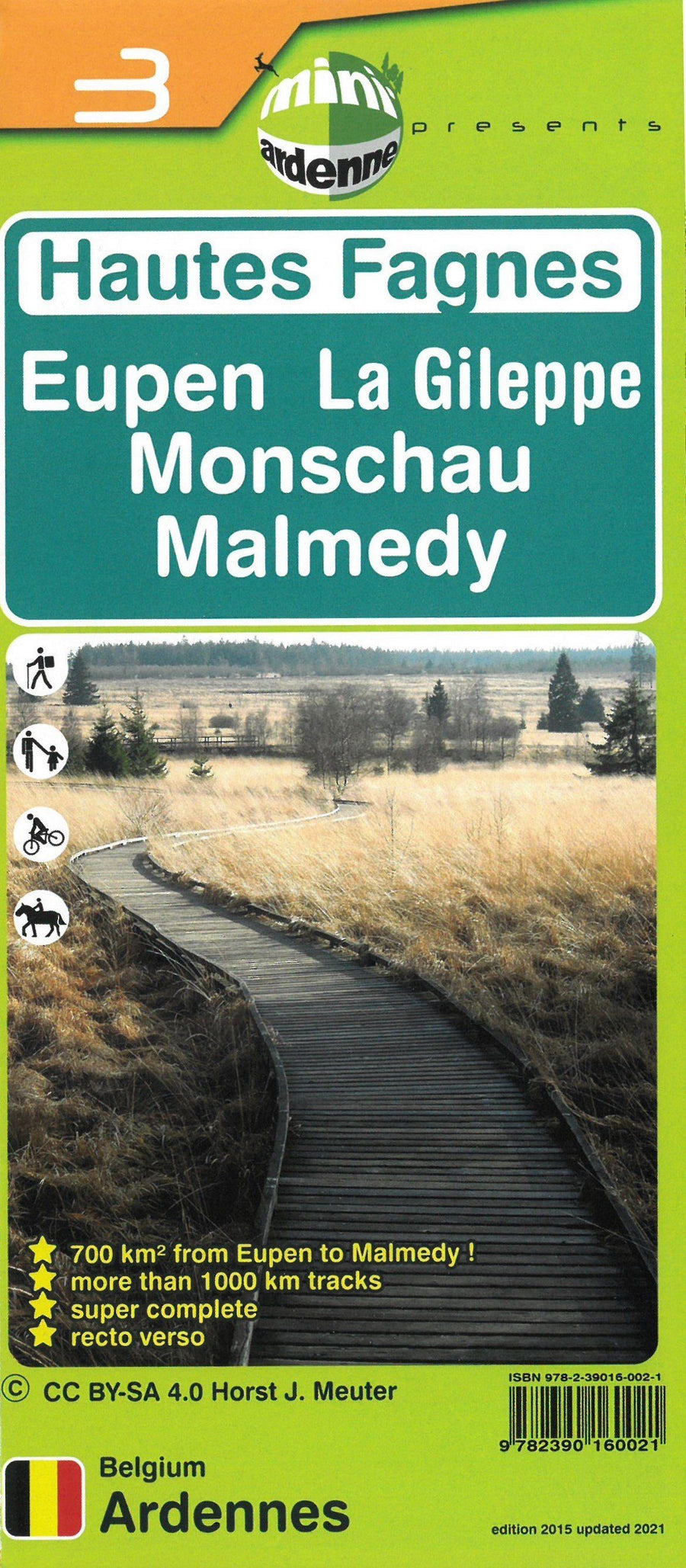
Topographic map - Country of Stavelot: Stavelot, Francorchamps, COO (Belgium) | IGN Belgium (French)
Regular price
$10.00
Regular price
Sale price
$10.00
Save $-10
/
- Shipping within 24 working hours from our warehouse in France
- Delivery costs calculated instantly in the basket
- Free returns (*)
- Real-time inventory
- In stock, ready to ship
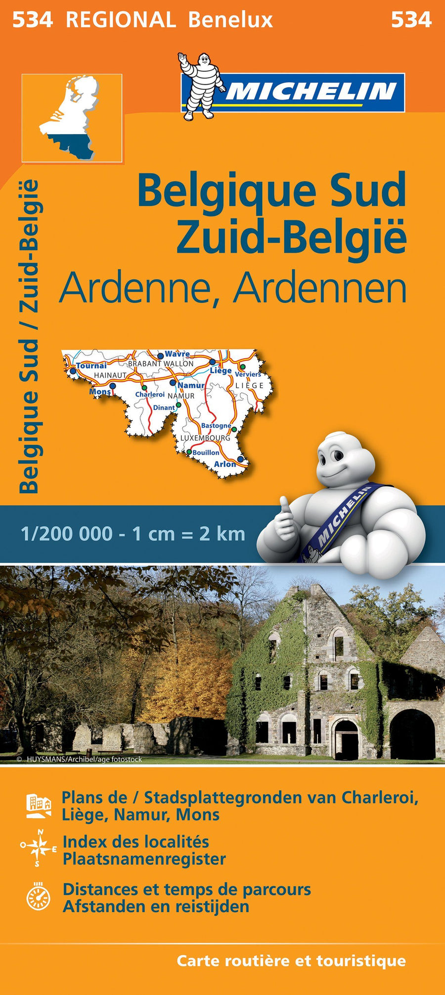
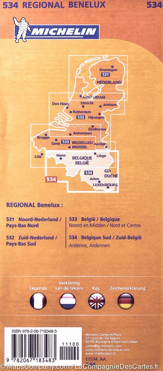
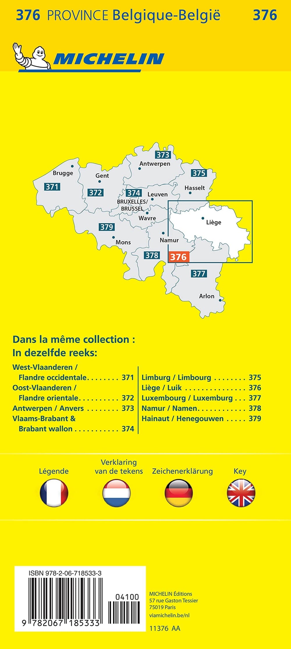
Related geographic locations and collections: Belgium - Hiking maps and cycling maps, Liege (Belgium), Wallonia