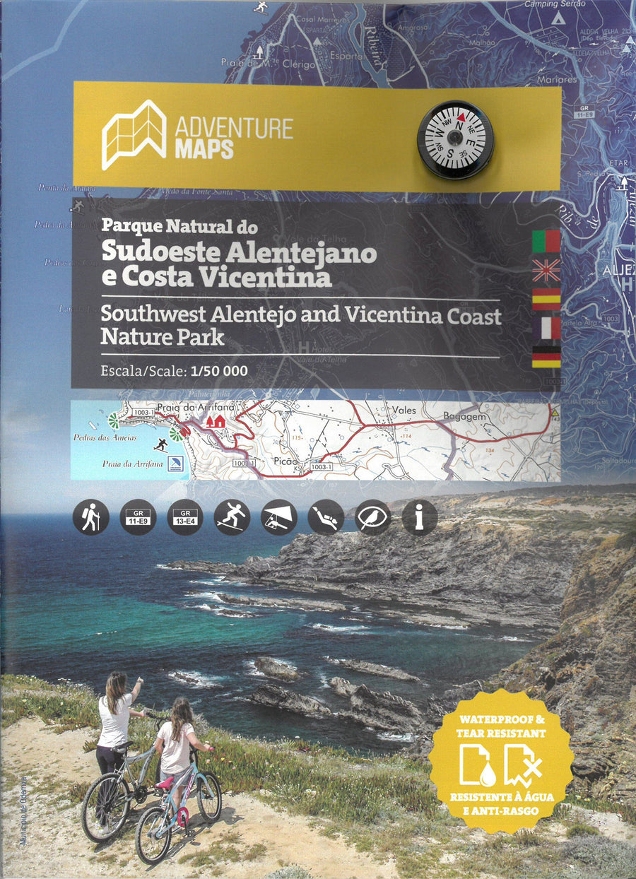
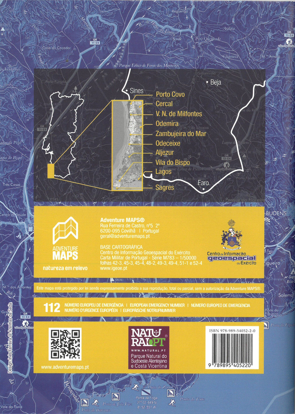
Topographic map - Parque Natural do Sudoeste Alentejano e Costa Vicentina (Portugal) | Adventure Maps
Regular price
$26.00
Regular price
Sale price
$26.00
Save $-26
/
- Shipping within 24 working hours from our warehouse in France
- Delivery costs calculated instantly in the basket
- Free returns (*)
- Real-time inventory
- In stock, ready to ship
Related geographic locations and collections: Portugal