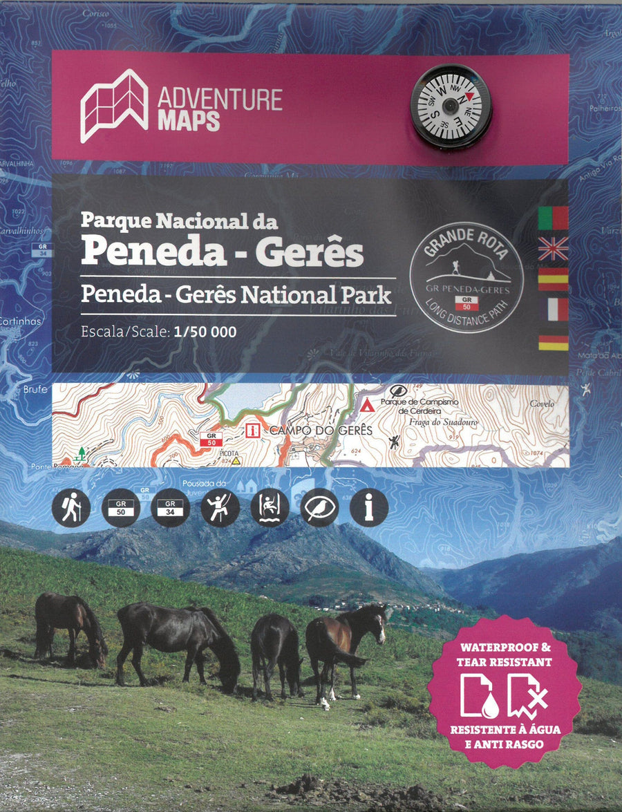
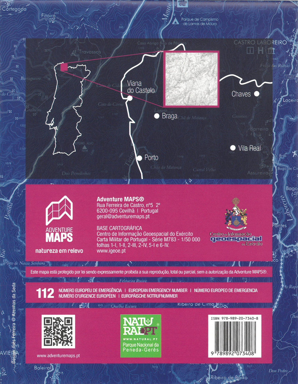
Topographic map - Parque Nacional da Peneda - Gerês (Portugal) | Adventure Maps

Price
Regular price $26.00
Regular price Sale price $26.00
Save $-26
/
  • Shipping within 24 working hours from our warehouse in France
  • Delivery costs calculated instantly in the basket
  • Free returns (*)
  • Real-time inventory
  • In stock, ready to ship
  • Backordered, shipping soon
Tax included.

Often purchased together:

Portuguese topographic map including the entire network of hiking trails in the area, tourist attractions, river beaches, swimming areas, waterfalls, campsites, picnic areas, tourist offices, climbing and hang-gliding spots.
- Contour line spacing: 10 m
- UTM grid with 1 km divisions (GPS compatible)
- WGS84 coordinates (GPS compatible)
This map is waterproof and tear-resistant.


ISBN/EAN : 9789892073408
Publication date: 2023
Scale: 1/50,000 (1cm=500m)
Printed sides: both sides
Unfolded dimensions: 97 x 67cm
Language(s): French, English, German, Spanish, Portuguese
Weight: 50 g

Customer Reviews

Based on 1 review
0%
(0)
0%
(0)
100%
(1)
0%
(0)
0%
(0)
l
lilian c. (Paris, FR)
Lecture difficile

Je trouve les attractions touristiques et lieux d'intérêt mal indiqués. Si vous possédez l'application All Trails elle ne vous sera pas utile