Carte topographique de l'Espagne - Parc national d'Ordesa & Monte Perdido - Red de senderos (2 cartes+ guide) | CNIG carte pliée CNIG

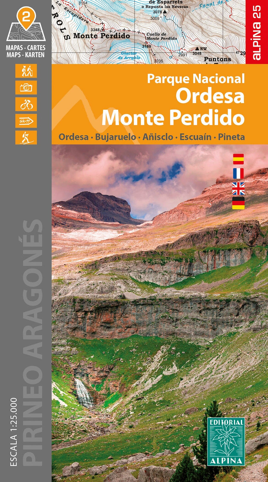
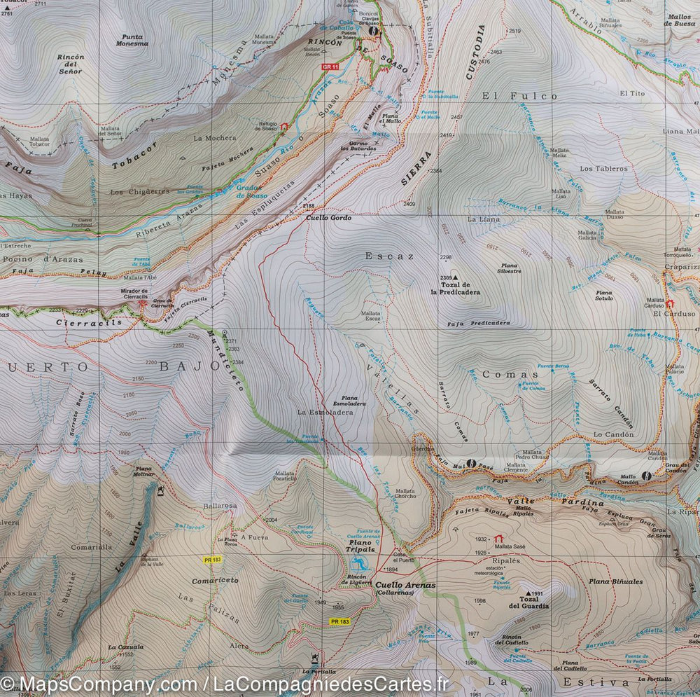
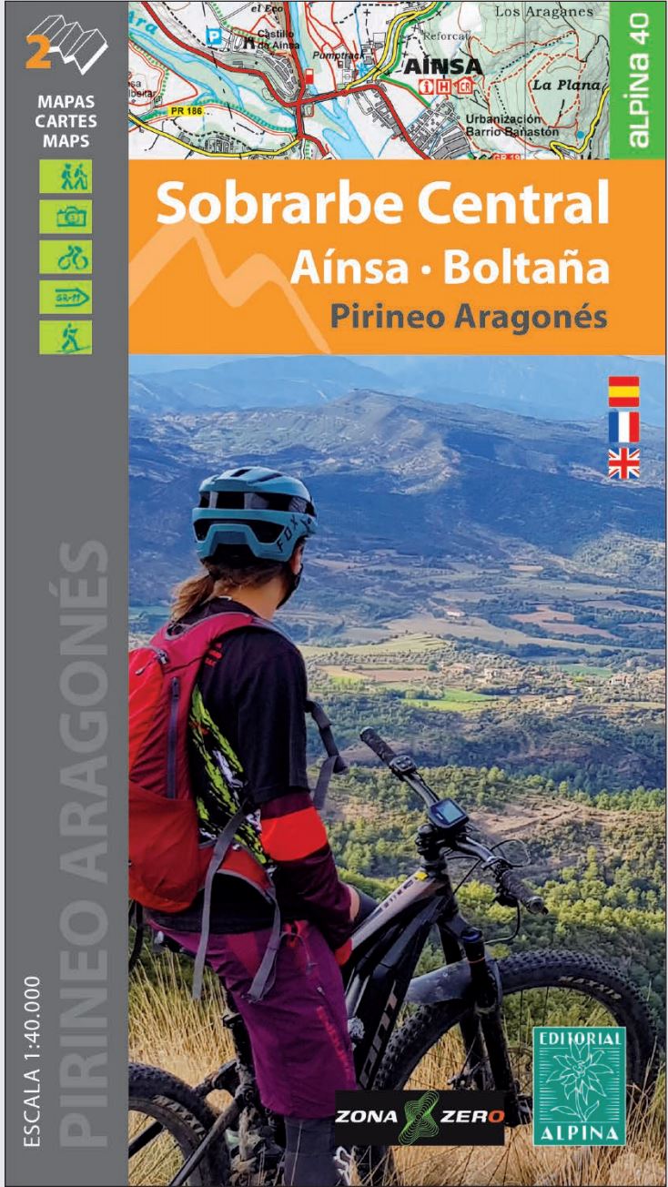
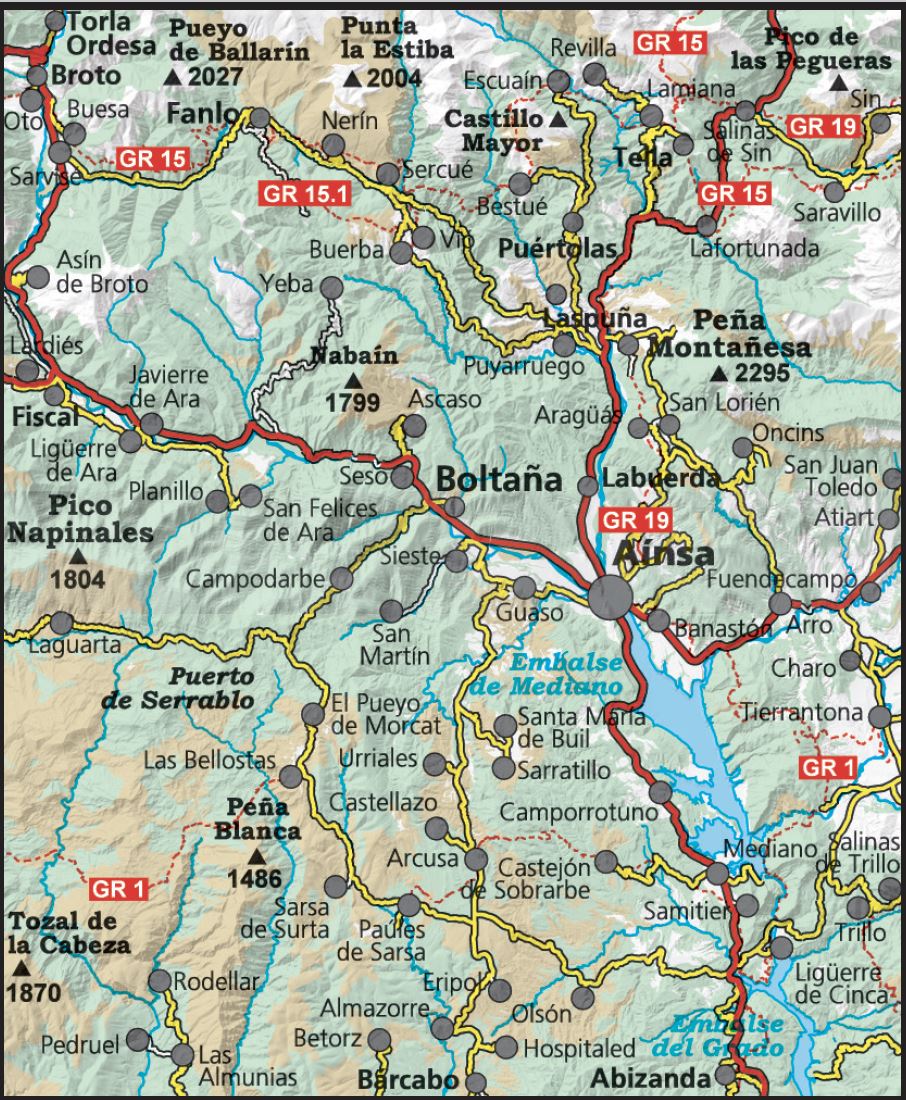
Topographic map of Spain - Ordesa National Park & ​​Monte Perdido - Red de Senderos (2 maps + guide) | CNIG

Price
Regular price $18.00
Regular price Sale price $18.00
Save $-18
/
  • Shipping within 24 working hours from our warehouse in France
  • Delivery costs calculated instantly in the basket
  • Free returns (*)
  • Real-time inventory
  • In stock, ready to ship
  • Backordered, shipping soon
Tax included.

Often purchased together:

Set of 2 hiking maps of Ordesa National Park and Mount Losted Edited by CNIG. - Relief indicated by sludge and level curves.
- Indication of hiking trails
- Miscellaneous accommodations
- Road network
- GPS Compatible
- A Spanish Hiking guide accompanies the map.


ISBN/EAN : 9788441637795
Publication date: 2016
Scale: 1/25,000 (1cm=250m)
Folded dimensions: 11 x 26cm
Language(s): Spanish
Weight: 150 g

Customer Reviews

No reviews yet
0%
(0)
0%
(0)
0%
(0)
0%
(0)
0%
(0)