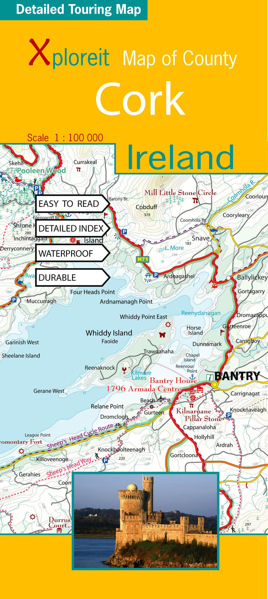
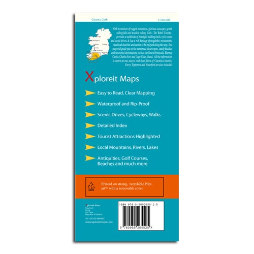
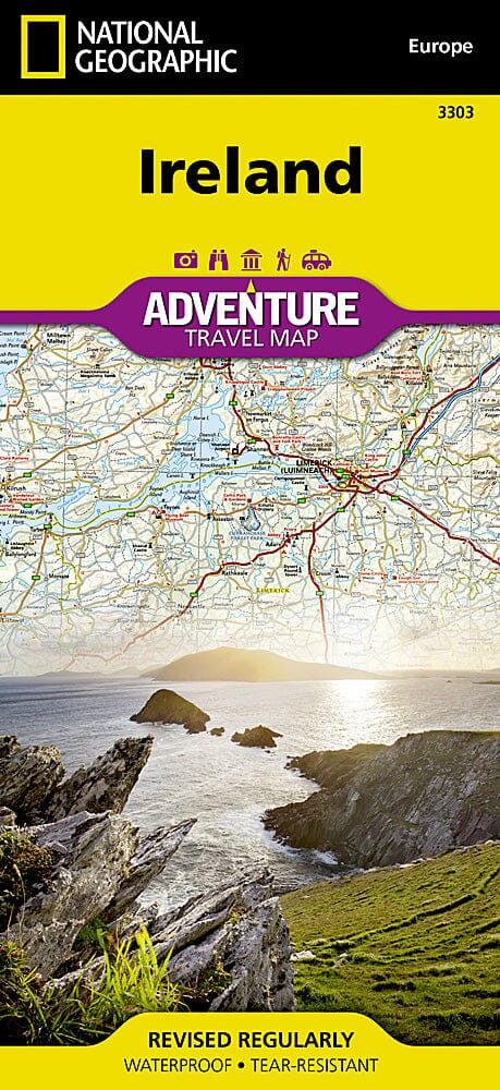
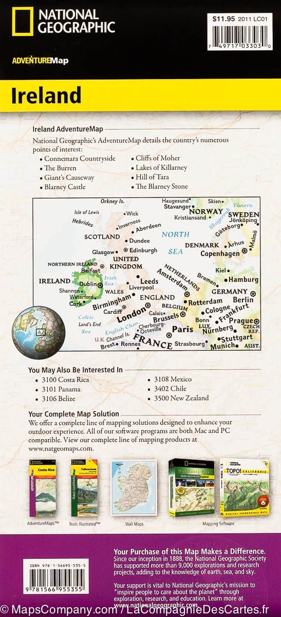
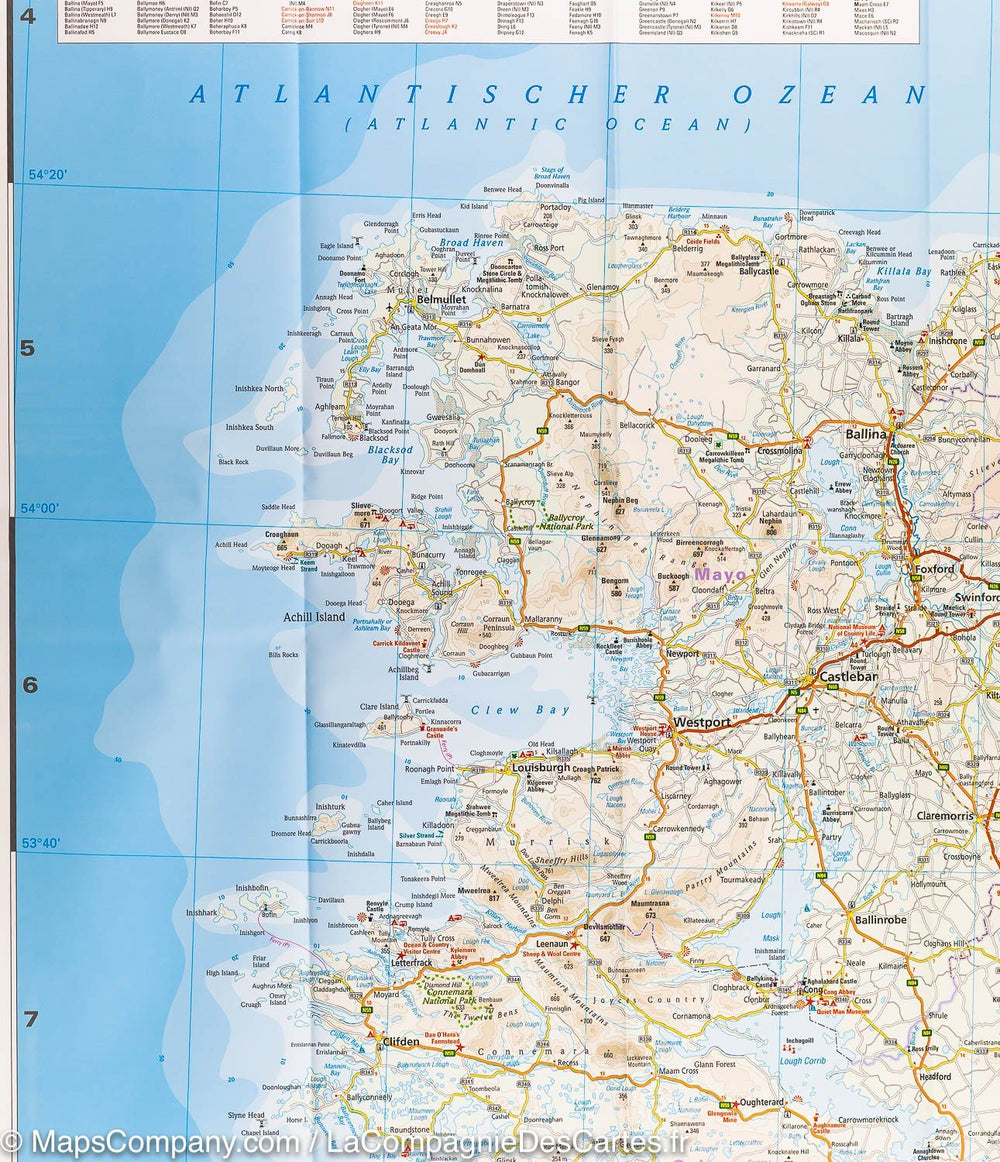
The Xploreit Cork County Map includes all of Cork as well as parts of counties Kerry, Limerick, Tipperary, and Waterford.
Cork's rich heritage of megalithic monuments, churches, and medieval castles can be instantly identified. Notable landmarks such as Blarney Castle, St. Finbarr's Oratory in Gougane Barra, and McCarthy's Bar in Castletownbere are highlighted in red text. Whether you want to explore Youghal's town walls to the east, admire the view from the Mizen Head footbridge to the southwest, or imagine the past as you stroll through King's Square and Kingston College in Mitchelstown to the north, it's easy to find your destination.
Featuring a wide range of golf courses, fishing spots, sandy beaches for swimming and surfing, equestrian facilities, and boating facilities, this map is an indispensable tool for visitors. Several scenic routes, cycle paths, and marked walks are featured.
This map is printed on waterproof paper.
ISBN/EAN : 9780955265525
Publication date: 2008
Scale: 1/100,000 (1cm=1km)
Printed sides: both sides
Folded dimensions: 12.2 x 25cm
Language(s): French, English, German
Weight:
90 g


