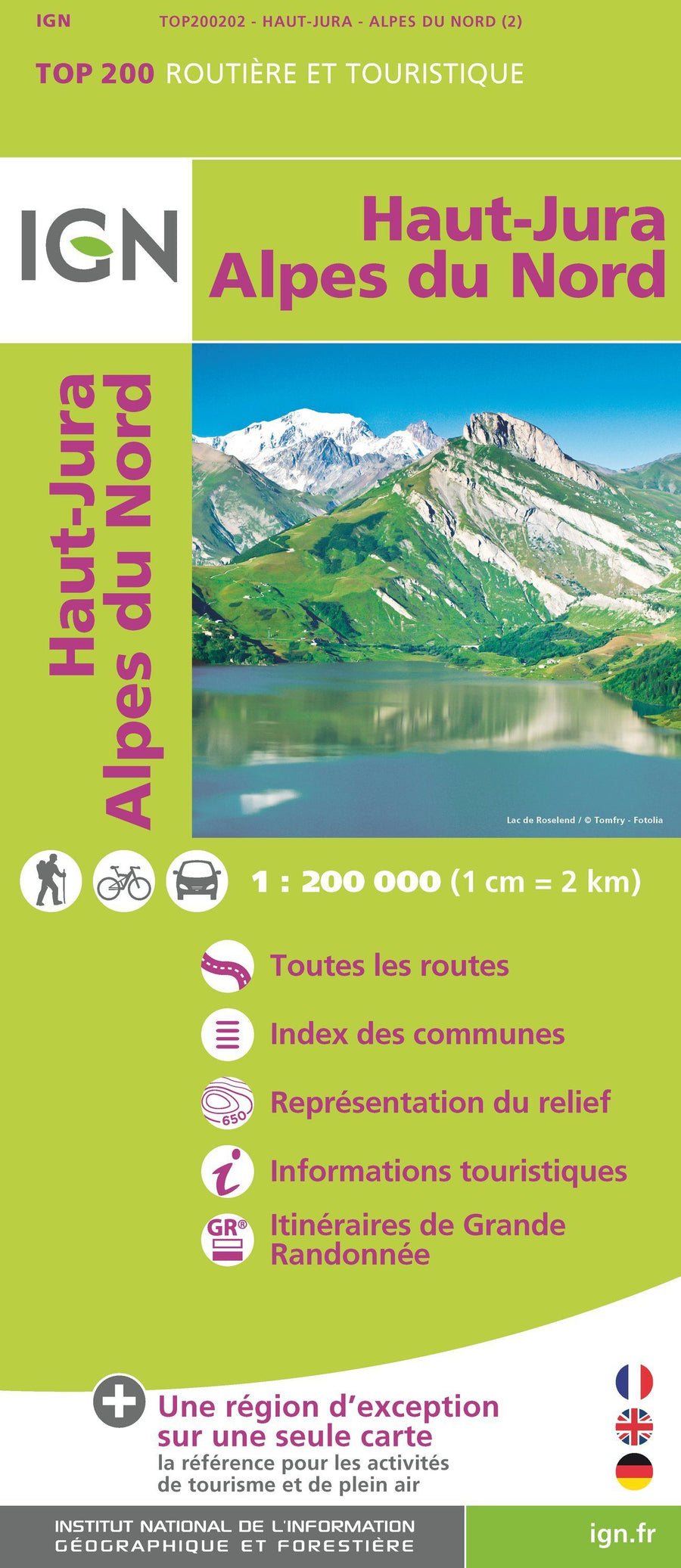
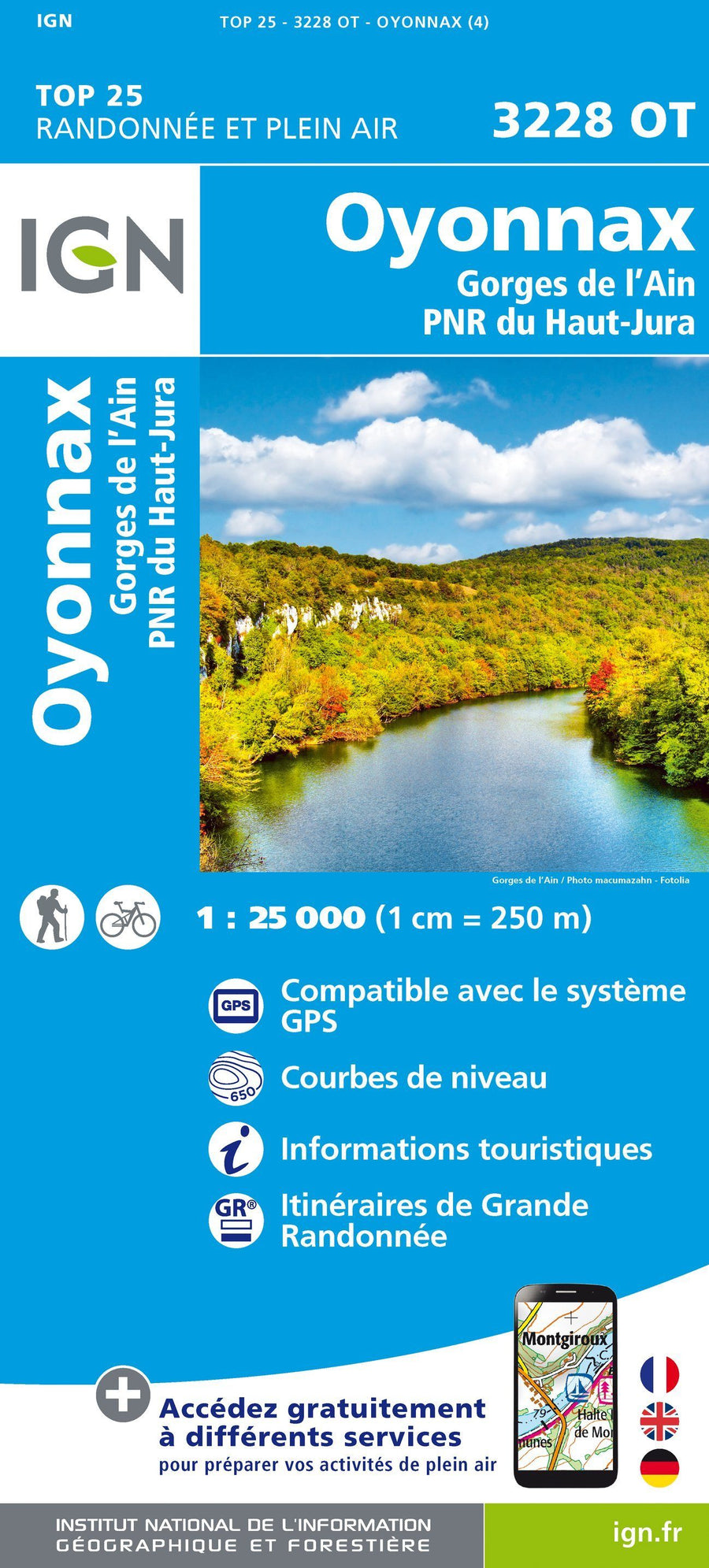
TOP 75 Map No. 12 - Haut-Jura | IGN
Regular price
$12.00
Regular price
Sale price
$12.00
Save $-12
/
- Shipping within 24 working hours from our warehouse in France
- Delivery costs calculated instantly in the basket
- Free returns (*)
- Real-time inventory
- In stock, ready to ship
Related geographic locations and collections: Bourgogne-Franche-Comté, Haut Jura, Lons-le-Saunier