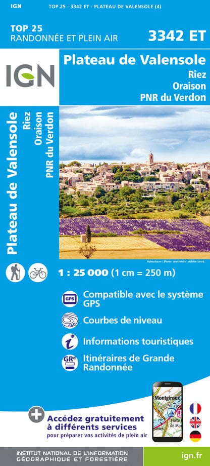
TOP 75 Map No. 13 - Verdon Gorges, Sainte-Croix Lake & Valensole Plateau | IGN
Regular price
$12.00
Regular price
Sale price
$12.00
Save $-12
/
- Shipping within 24 working hours from our warehouse in France
- Delivery costs calculated instantly in the basket
- Free returns (*)
- Real-time inventory
- In stock, ready to ship
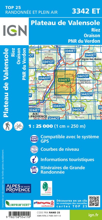
Related geographic locations and collections: Alpes-de-Haute-Provence (department 04), French Alps (all hiking), Valensole, Verdon Regional Natural Park