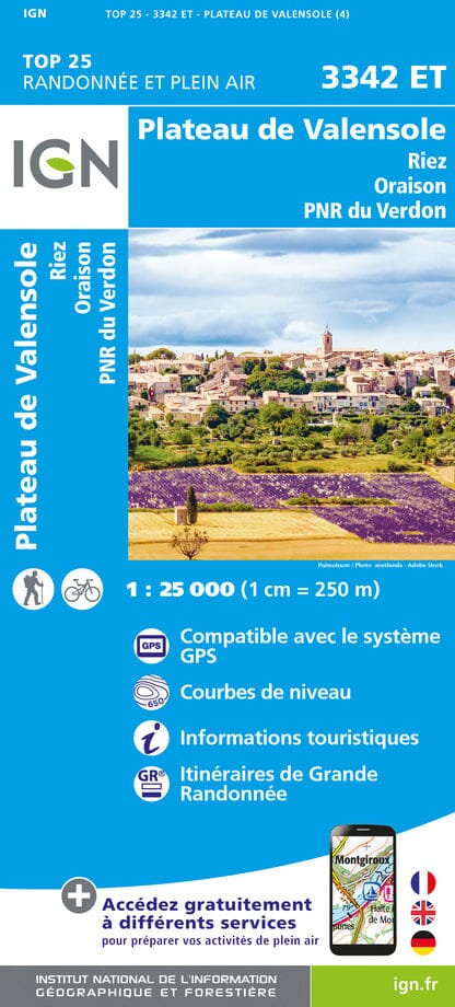
Carte TOP 25 n° 3541 OT - Annot, St André les Alpes (PNR du Verdon) | IGN carte pliée IGN

Top 25 # 3541 OT - Annot, St André Les Alps (Verdon PNR) | IGN

Top 25 # 3541 OT - Annot, St André Les Alps (Verdon PNR) | IGN

Regular price $16.00
/
  • Shipping within 24 working hours from our warehouse in France
  • Delivery costs calculated instantly in the basket
  • Free returns (*)
  • Real-time inventory
  • In stock, ready to ship
  • Backordered, shipping soon
Tax included.

Topographic Map Top 25 of Annot and St André Les Alps (Verdon Regional Natural Park) edited by IGN.

Hiking Map with space curves spaced 10 meters and detailed legend (vegetation, rocks, streams etc ...). Indication of hiking trails.


ISBN/EAN : 9782758545699
Publication date: 2018
Scale: 1/25,000 (1cm=250m)
Printed sides: front
Folded dimensions: 23.6 x 11.2 x 0.5cm
Unfolded dimensions: 96 x 132cm
Language(s): French, English, German
Poids : 89 g

Customer Reviews

Based on 1 review
0%
(0)
100%
(1)
0%
(0)
0%
(0)
0%
(0)
H
Hubert V. (Cagnes-sur-Mer, FR)

parfait