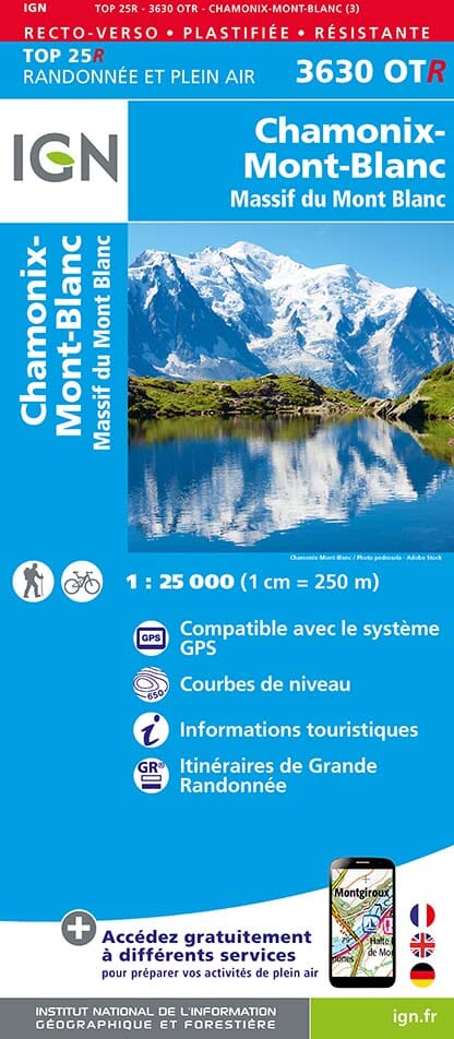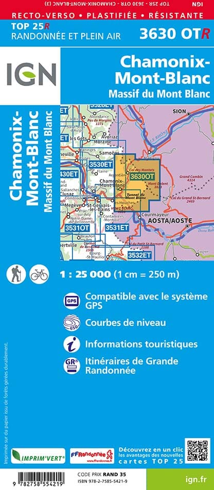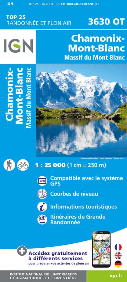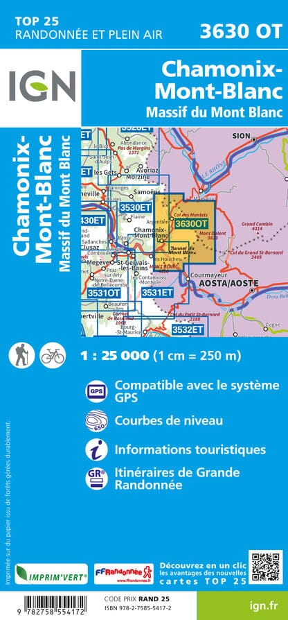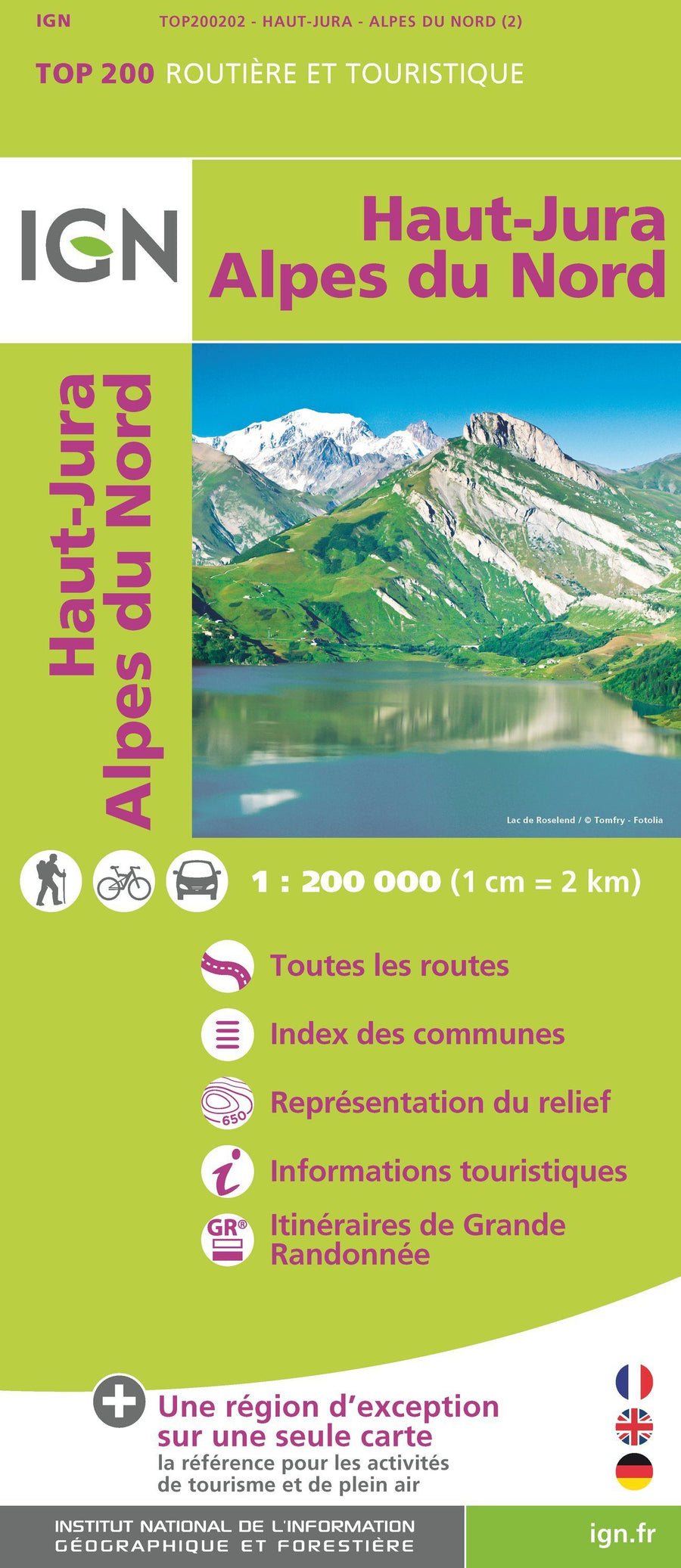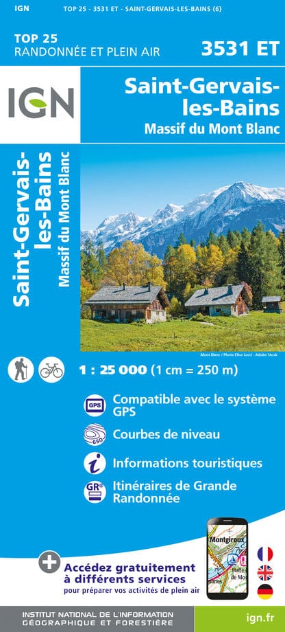


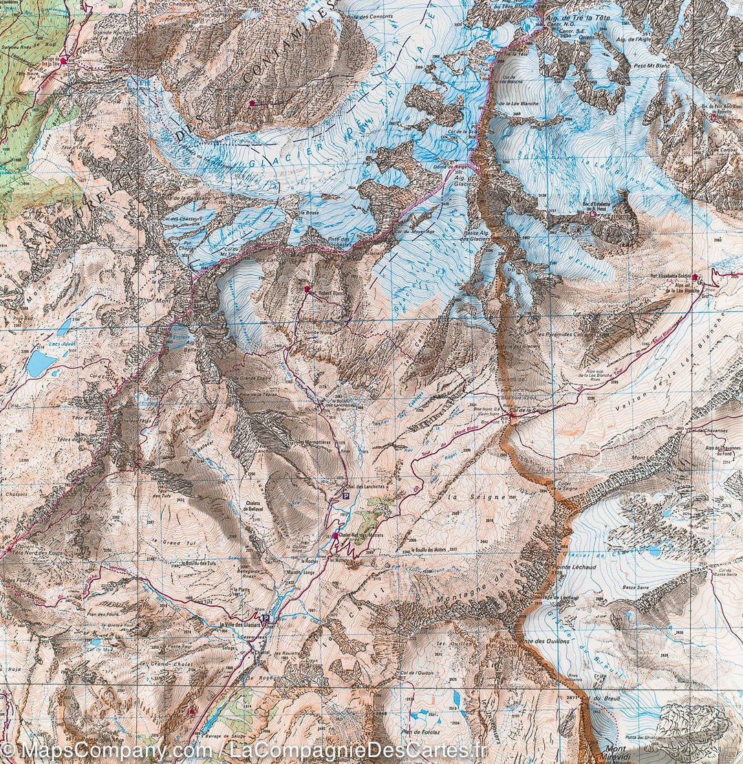
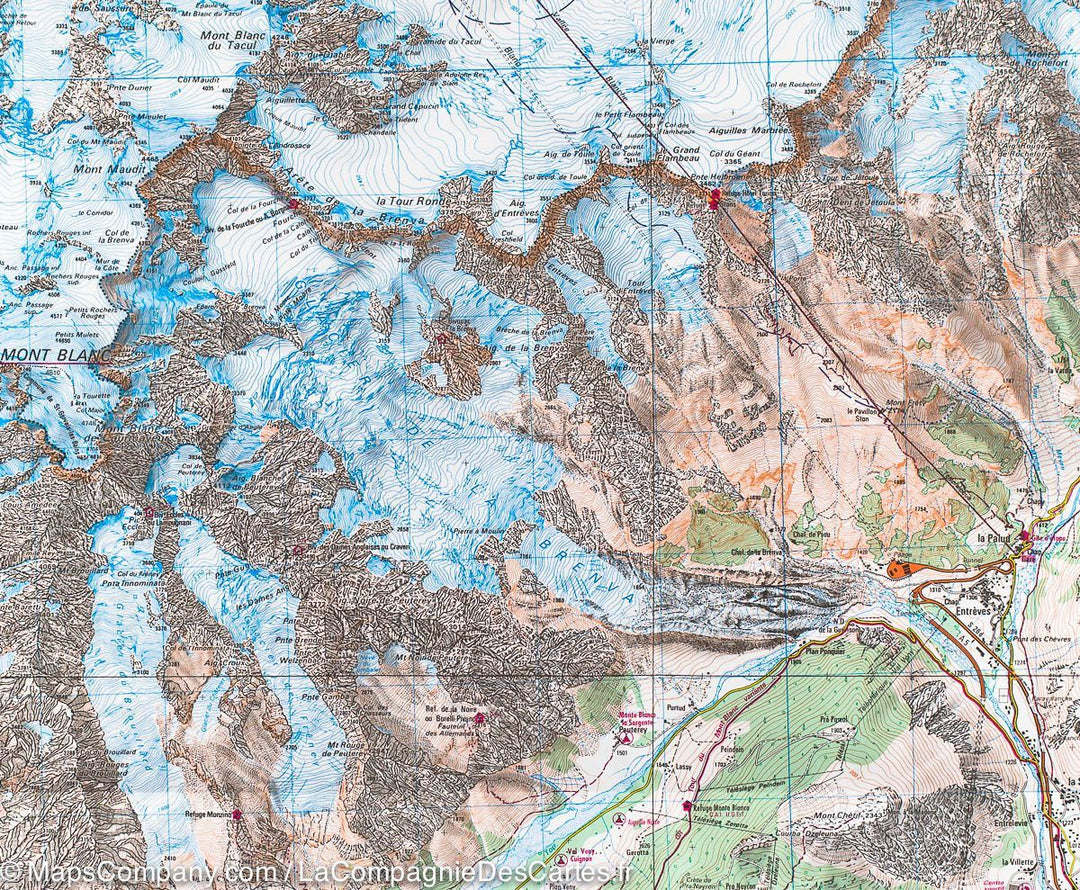
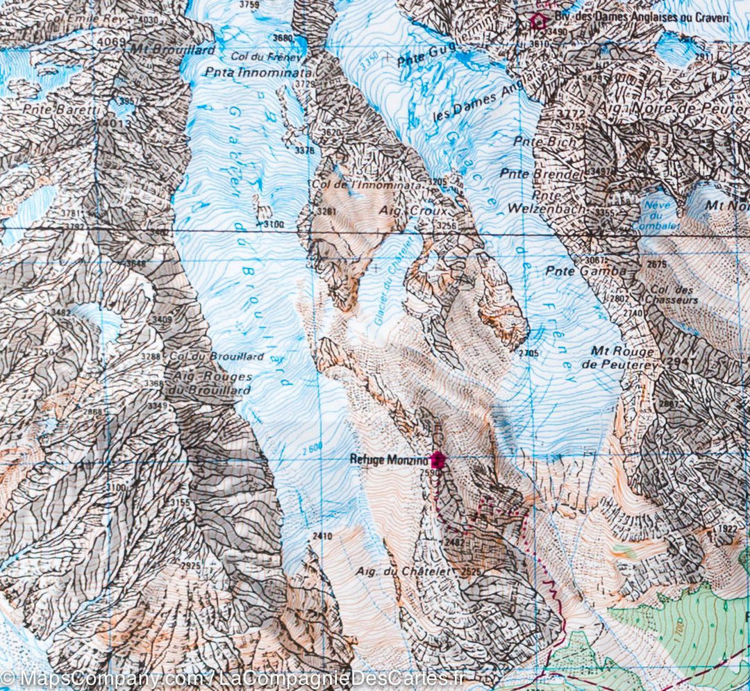
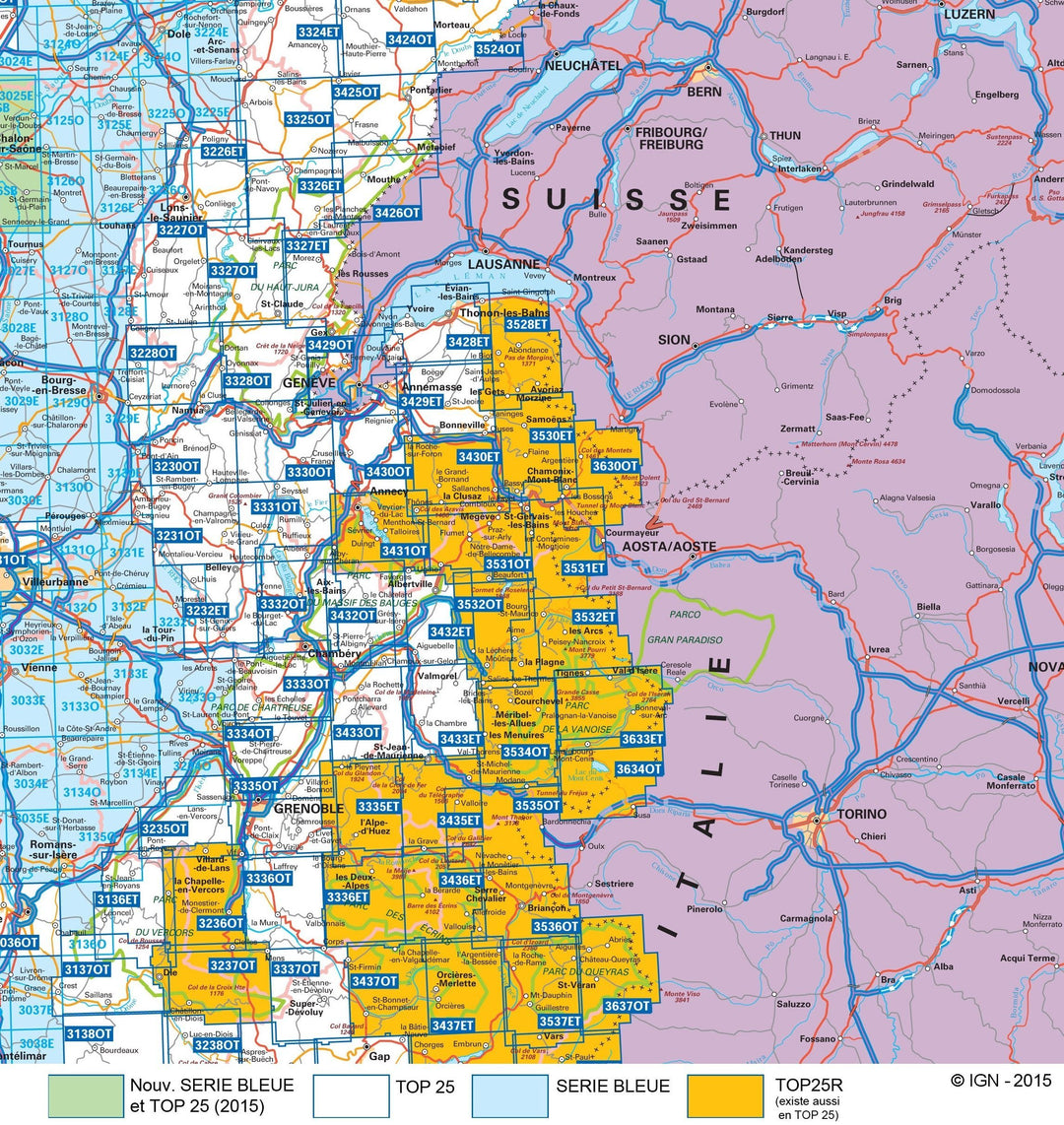

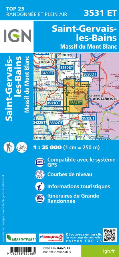
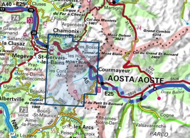


TOP 25 Map No. 3531 ET - Saint-Gervais-les-Bains & Mont Blanc Massif | IGN
Regular price
$17.00
Regular price
Sale price
$17.00
Save $-17
/
- Shipping within 24 working hours from our warehouse in France
- Delivery costs calculated instantly in the basket
- Free returns (*)
- Real-time inventory
- In stock, ready to ship
Related geographic locations and collections: Auvergne-Rhône-Alpes, Chamonix, Courmayeur, France GR footpaths, France hiking maps - IGN TOP 25 & SÉRIE BLEUE, French Alps (all hiking), French Alps hiking maps - IGN TOP 25 & SÉRIE BLEUE, GR TMB - Tour du Mont Blanc, Haute-Savoie (department 74), Mont Blanc, Saint-Gervais-les-Bains