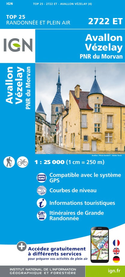
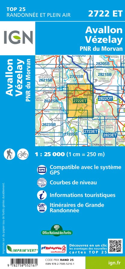
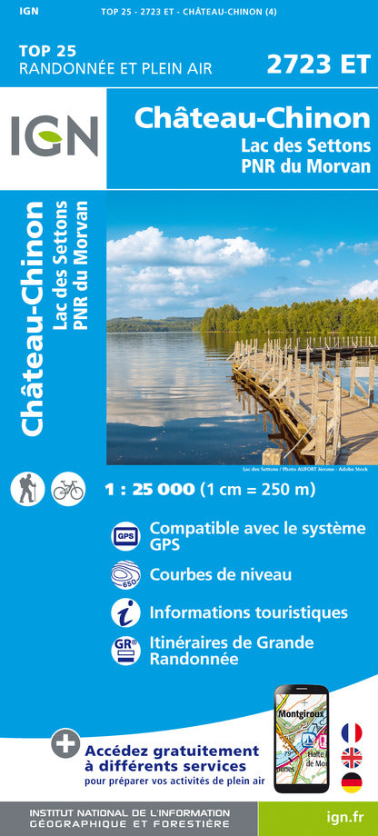
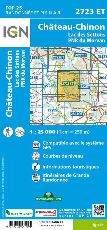
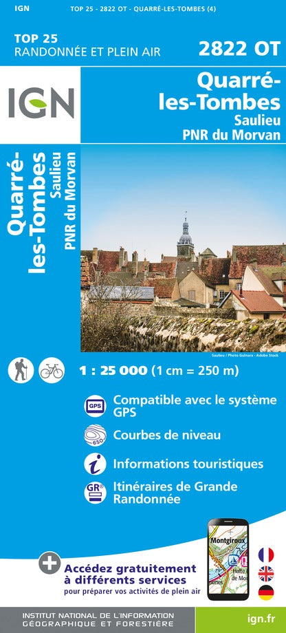
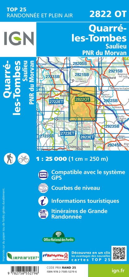
This is a version in poster laminated from the Hiking Map IGN # 2722 and .
This very high accuracy map contains all existing details in the field: communication pathways to the slightest path, constructions to the hangar, wood, isolated tree, river, source ... without forgetting the representation relief by level curves.
Note that this map is laminated on demand, based on the original map that is folded. The folds remain a little visible.
The map comes rolled in a mapboard tube.
An additional time of a few days is necessary for the manufacture of the map.
This product being made customized at the request of our customers, it can not be returned to us.
ISBN / EAN : 9782758552161P
Date de publication : 2017
Echelle : 1/25,000 (1cm=250m)
Dimensions déplié(e) : 96 x 132cm
Langue : French, English, German
Poids :
300 g


