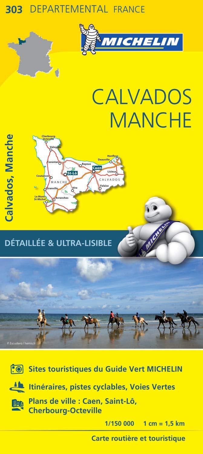
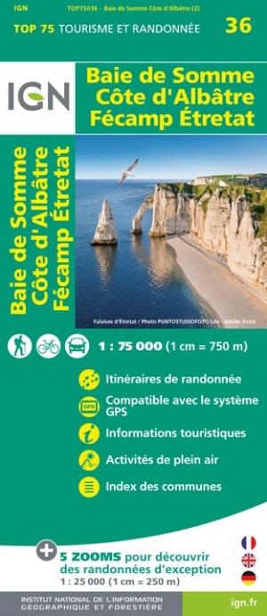
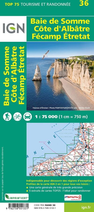
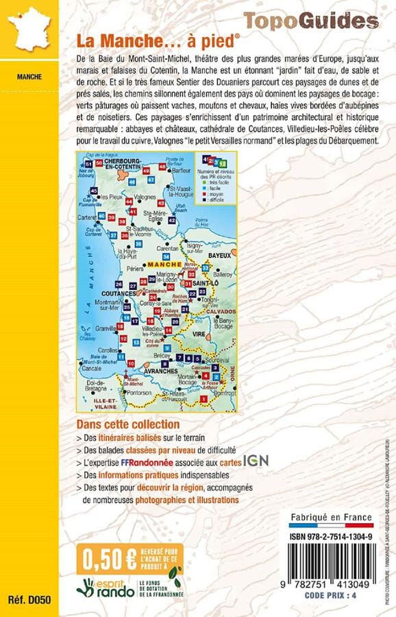
TOP 25 Map No. 1212 ET - La Haye-du-Puits, Lessay (Manche) | IGN
Regular price
$17.00
Regular price
Sale price
$17.00
Save $-17
/
- Shipping within 24 working hours from our warehouse in France
- Delivery costs calculated instantly in the basket
- Free returns (*)
- Real-time inventory
- In stock, ready to ship
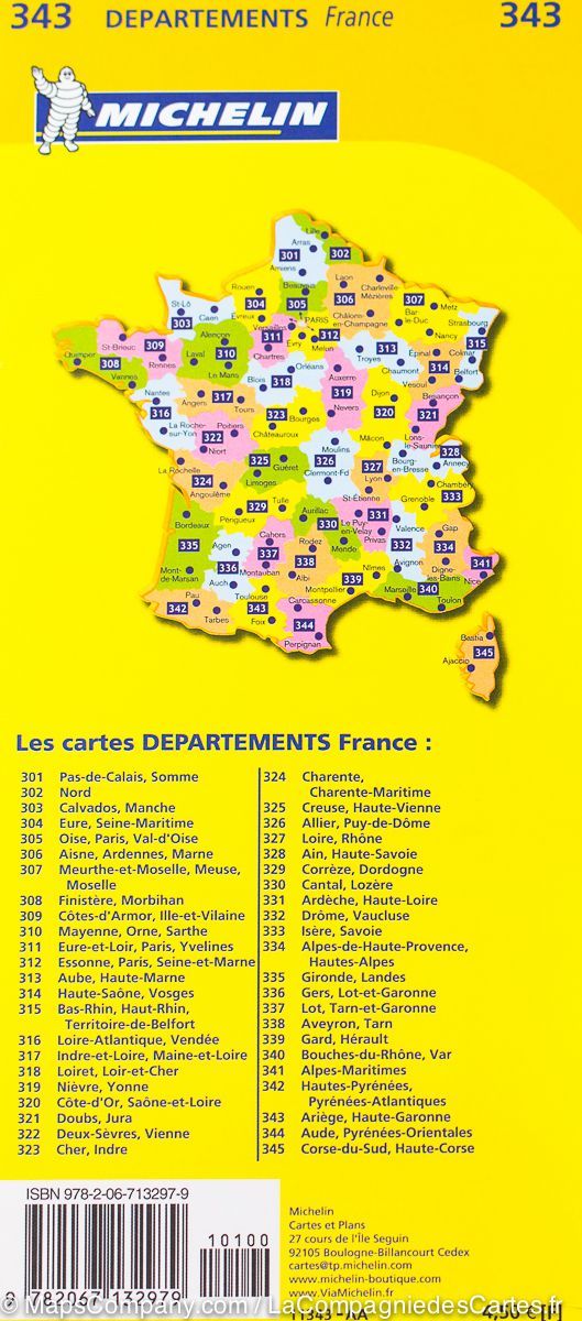
Related geographic locations and collections: France GR footpaths, France hiking maps - IGN TOP 25 & SÉRIE BLEUE, GR223 - Tour of Cotentin Peninsula, Manche (department 50), Normandy, North-West France hiking maps - IGN TOP 25 & SÉRIE BLEUE