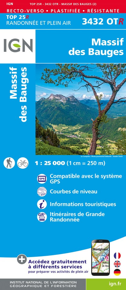
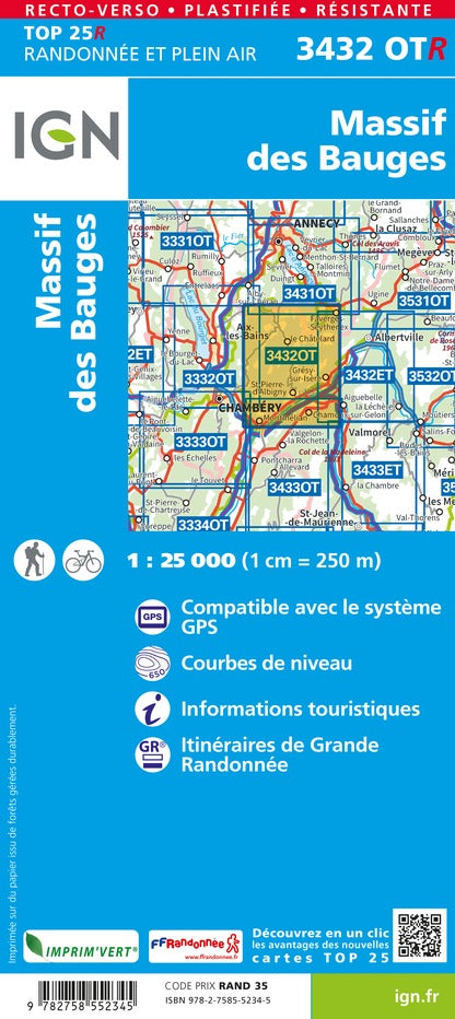
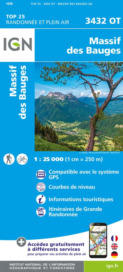
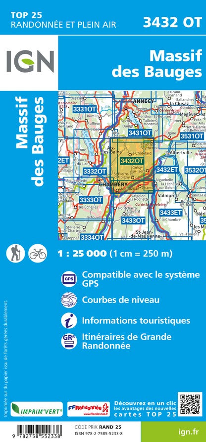
Top 25 Massif of the Bauges, edited by IGN. Hiking map with space curves spaced 10 meters and detailed legend (vegetation, rocks, streams etc ...). Indication of hiking trails. Scale 1 / 25,000 (1 cm = 250 m). GPS compatible map.
- This map is printed on a laminated and tear - resistant support, ideal for the practice of outdoor activities.
- Duplex map: a reduced footprint that facilitates handling.
Our opinion: a laminated support and resistant to use by all times.
ISBN/EAN : 9782758552345
Publication date: 2022
Scale: 1/25,000 (1cm=250m)
Printed sides: both sides
Folded dimensions: 23.6 x 11.2 x 0.5cm
Unfolded dimensions: 50 x 132cm
Language(s): French, English, German
Weight:
76 g


