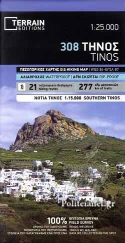
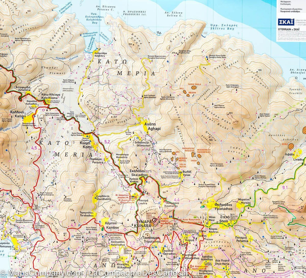
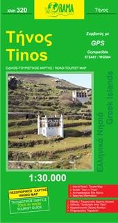
Waterproof topographic map of the island of Tinos (Greece) published by Terrain Cartography. Contour lines and hiking trails are indicated. All place names are in Greek and Latin. Tourist information (beaches, points of interest, ferry connections, etc.) and a selection of hikes with duration and distance (on the back).
Multilingual map (French, English, German, and Greek).
Detailed map protected by a plastic case.
ISBN/EAN : 9786185160241
Publication date: 2023
Scale: 1/30,000 (1cm=300m)
Printed sides: both sides
Folded dimensions: 25 x 12.5 x 0.5cm
Unfolded dimensions: 100 x 68cm
Language(s): English, Greek
Weight:
79 g


