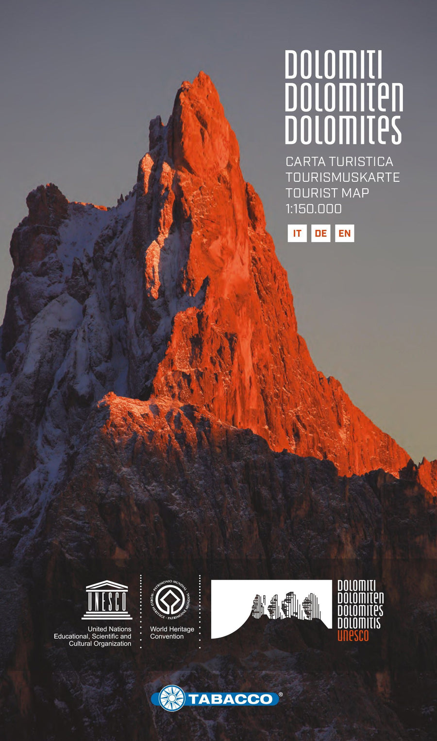
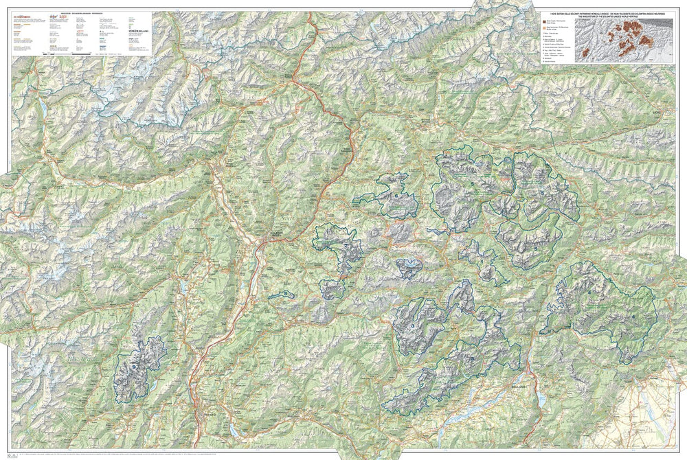
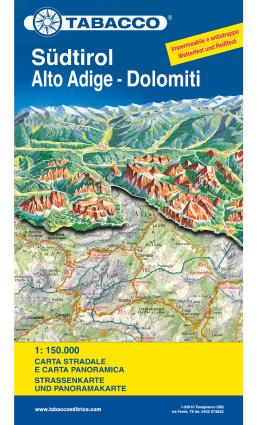
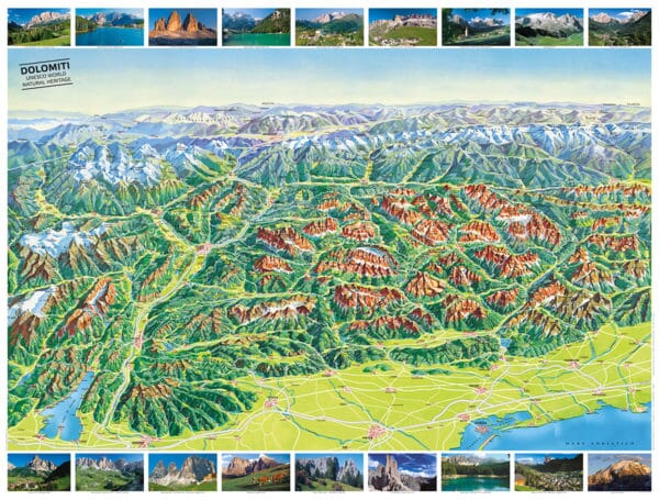
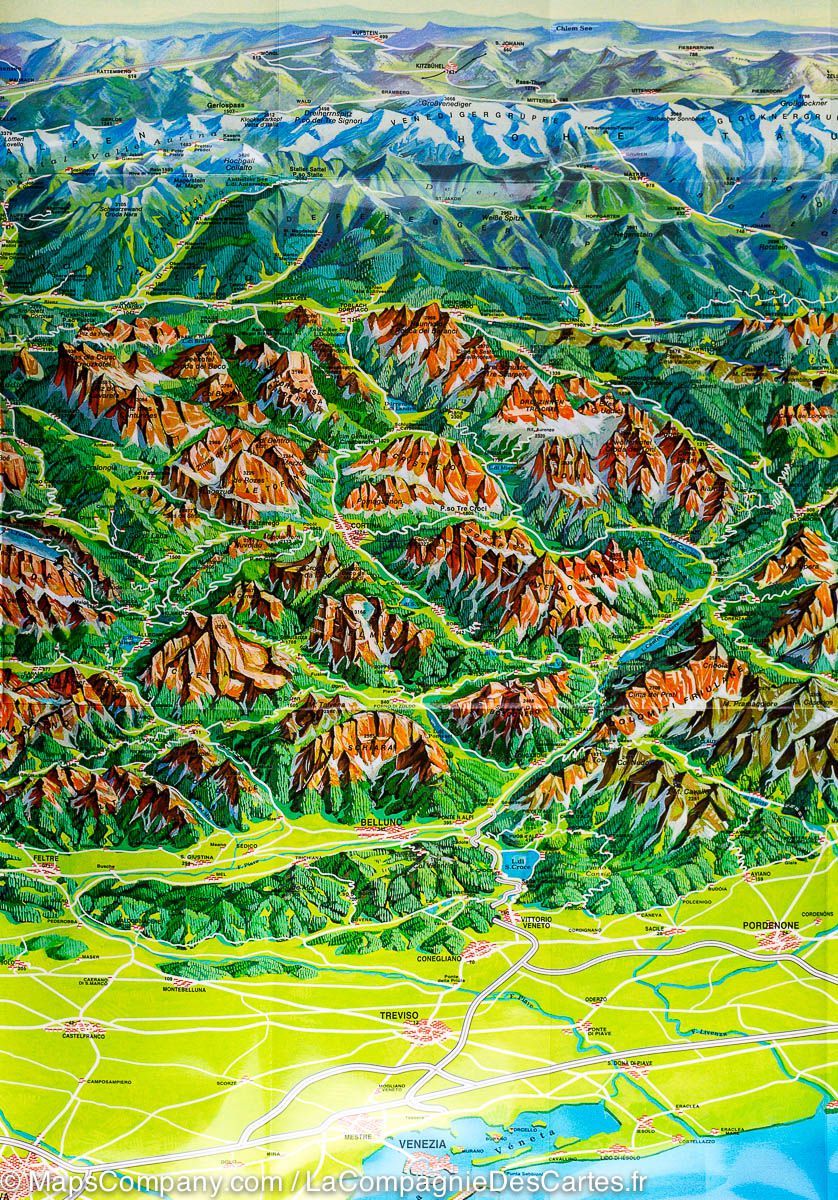
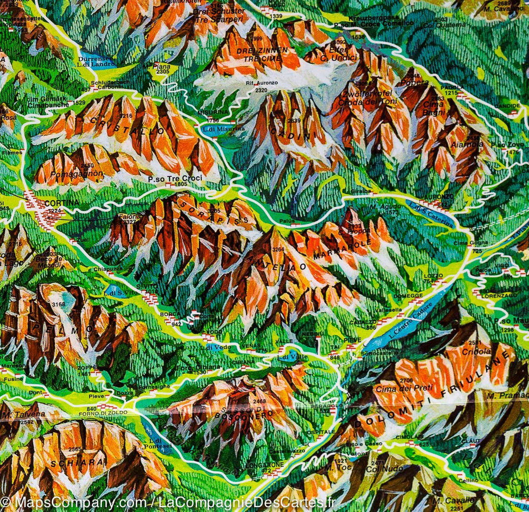
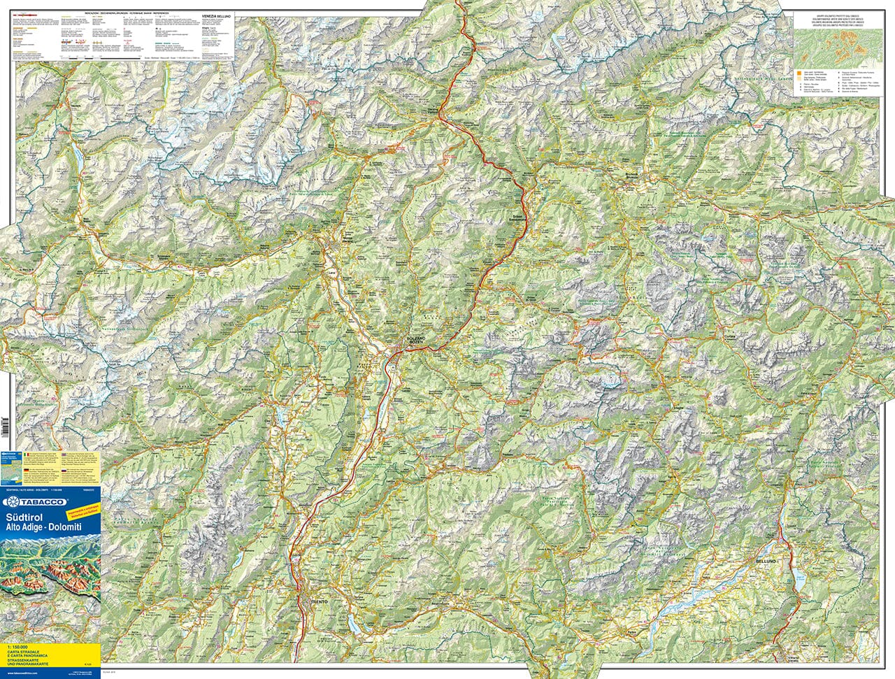
Carte routière et panoramique - Tyrol du Sud, Haut Adige & Dolomites | Tabacco carte pliée Tabacco

Road Map and panoramic - South Tyrol, Top Adige & Dolomites | Tabacco

Road Map and panoramic - South Tyrol, Top Adige & Dolomites | Tabacco

Regular price $12.00
/
  • Shipping within 24 working hours from our warehouse in France
  • Delivery costs calculated instantly in the basket
  • Free returns (*)
  • Real-time inventory
  • In stock, ready to ship
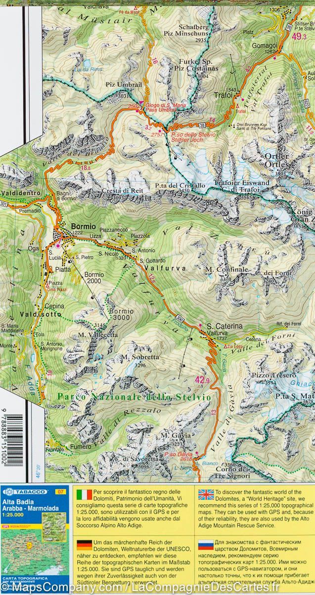
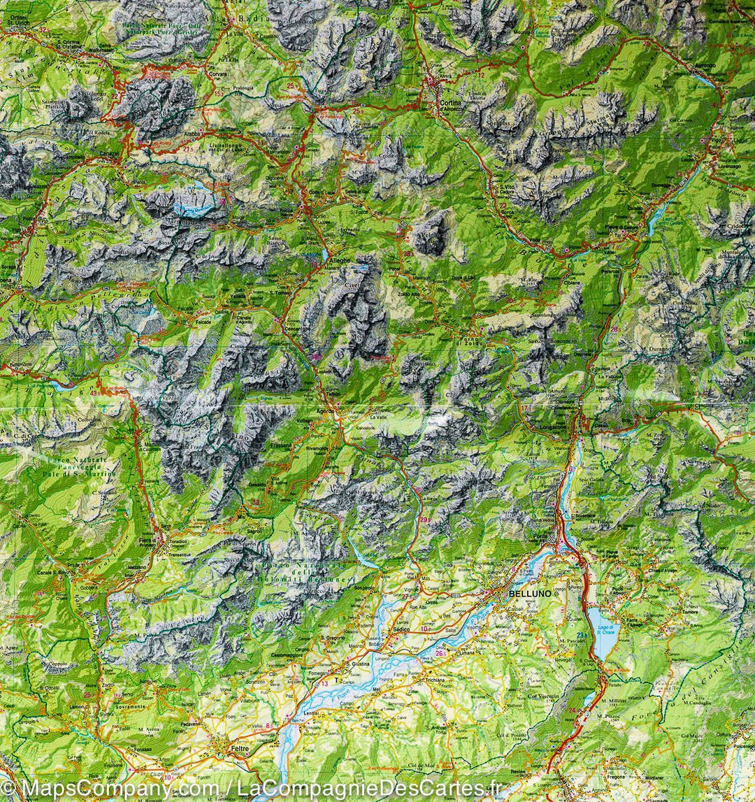
  • Backordered, shipping soon
Tax included.

South Tyrol and Dolomite Waterproof Road Map at 1/150 000 edited by Tabacco. This detailed map offers an excellent presentation of the topography of this mountainous region, more on the back a drawing of the panorama. The coverage ranges from the Austrian border to the beyond Trento and Felt, and Bormio (west) at the regional border, including Cortina Ampezzo and Belluno. Indication of relief, forests and boundaries of national parks and other protected areas. Curves of levels spaced from 100 m.

The map is designed to present the topography of the region rather than its tourist sites, but it indicates campsites. On the back, panoramic drawing of the Dolomites, looking towards the north of the plain of the Po and the highway connecting Lake Garda and Venice, with the Austrian and German Alps in the background. Names of mountain ranges, peaks, valleys, etc ... The panorama also shows cities and villages and the road network of the region.

A good complement to detailed Tabacco maps to 1/25,000 for hiking.


ISBN/EAN : 9788883151286
Publication date: 2019
Scale: 1/150,000 (1cm=1.5km)
Printed sides: both sides
Folded dimensions: 24 x 12.5cm
Unfolded dimensions: 113 x 79cm
Language(s): English, German, Italian
Poids : 118 g

Customer Reviews

Based on 6 reviews
100%
(6)
0%
(0)
0%
(0)
0%
(0)
0%
(0)
M
Marie-José C. (Clermont-Ferrand, FR)
Carte conforme à mes attentes

Carte qui semble conforme à mes attentes (détaillée, précise pour les petites routes, avec courbes de niveaux, plastifiée, vue d'ensemble en 3D appréciable et quelques photos des lieux les plus emblématiques) pas encore utilisée sur le terrain mais très utile pour préparer le voyage...

A
Anonyme (Riedisheim, FR)
Carte DOLOMITES

C'est tres exactement ce que je cherchais ! Une bonne vue d'ensemble avec le plus de precision possible

B
Brigitte V. (Le Perreux-sur-Marne, FR)
Rando Dolomites. E

Exactement ce que je cherchais.

J
Jean-Pierre P. (Visker, FR)
carte parfaite

bien belle carte

P
Philippe L. (Sondersdorf, FR)

Très bonne carte