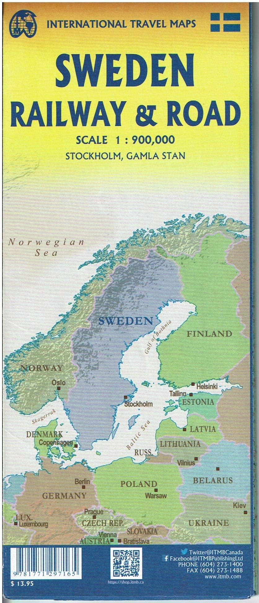
Sweden Road map published by ITM. This map is double - sided, with the northern part of Sweden and on the back, the southern part.
The map highlights roads, urban areas, attractions, airports, points of View, ferry routes, castles. Road information are very clearly displayed, with highways in blue, roads divided into green, the main highways in orange and secondary roads in red. The Copenhagen bridge is illustrated as well as access roads across Denmark.
Index of cities included.
This map is printed on waterproof paper.
1/900 000 scale (1 cm = 9 km).
ISBN/EAN : 9781771297165
Publication date: 2020
Scale: 1/900,000 (1cm=9km)
Printed sides: both sides
Folded dimensions: 24.6 x 10.3 x 0.5cm
Language(s): English
Weight:
89 g


