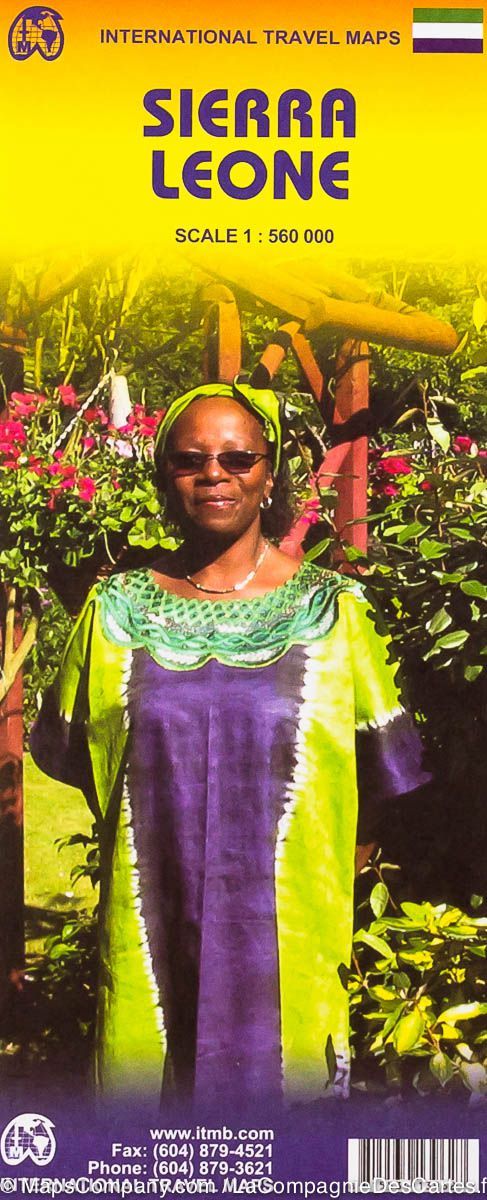
Sierra Leone road map and Freetown street map
General and indexed road map of the country with a basic street plan of Freetown and brief notes on the country's history and places of interest. Elevation colors and point heights indicate relief, and marshy areas are also shown. Road details include a selection of secondary roads and tracks. The map also shows the railway from Freetown into the country and the ore railway between Pepel and Lunsar. Administrative boundaries are not marked, but towns that are district or provincial centers are indicated as such. Symbols indicate airports, ports, ferries, petrol stations, post offices, hospitals, missions, antiquities, places of interest, various types of accommodation, etc. National parks and reserves are indicated.
The map of downtown Freetpown is not indexed and only shows a few landmarks, such as Connaught Hospital and the US Embassy.
ISBN/EAN : 9781771297400
Publication date: 2025
Scale: 1/500,000 (1 cm = 5 km) & 1/15,000 (1 cm = 500 m)
Printed sides: both sides
Folded dimensions: 24.6 x 10.3 x 0.5cm
Unfolded dimensions: 100 x 69cm
Language(s): English
Weight:
51 g