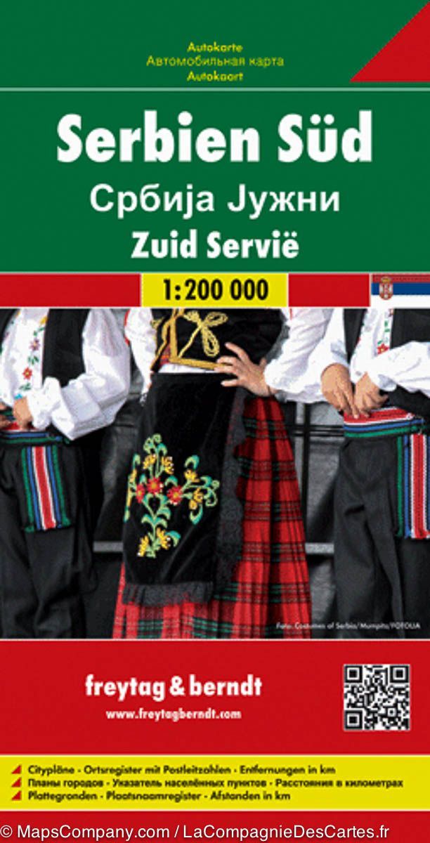
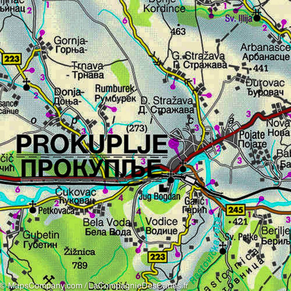
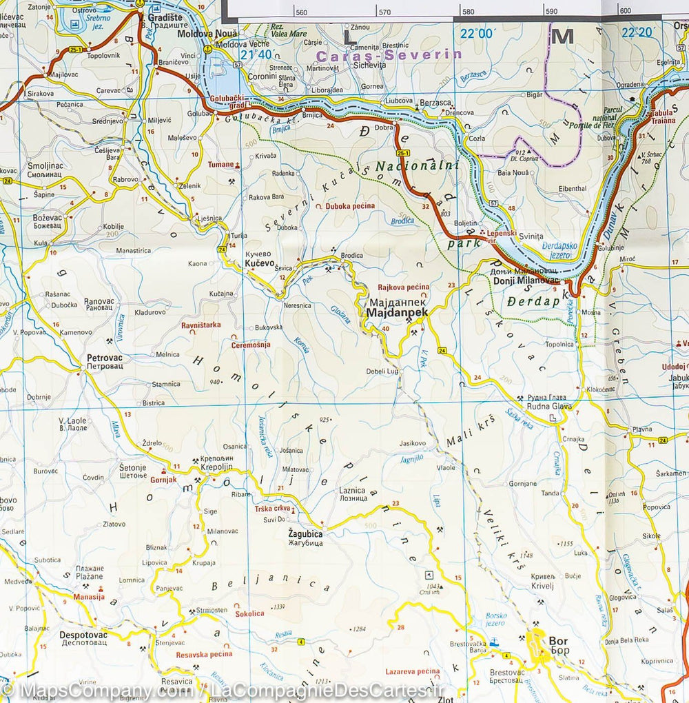
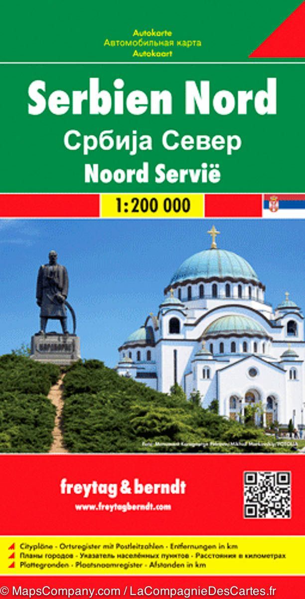
South Serbian Road map published by Freytag & Amp Berndt. Scale 1: 200 000. The names of cities and villages are both Cyrillic and Latin alphabet. Enhancement of points of interest (sites to see, national parks ...).
Relief mapping. The distances are shown on the map.
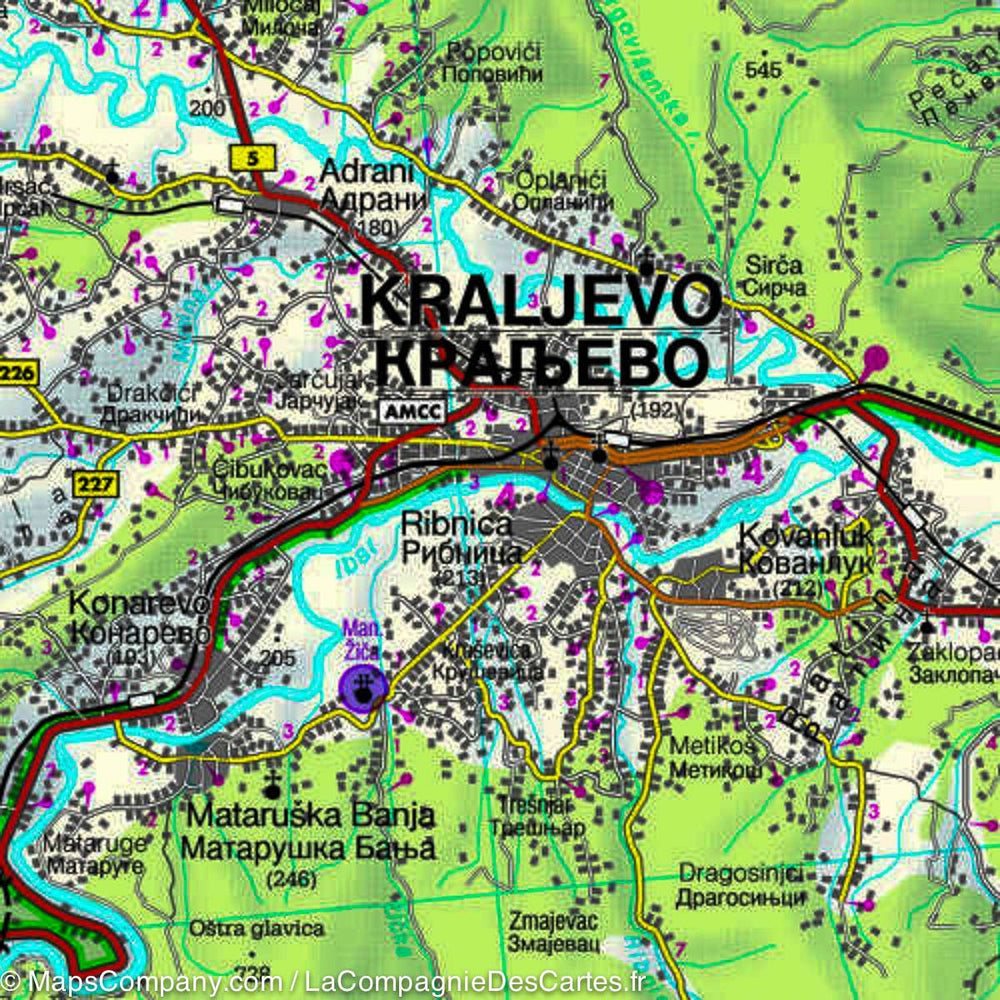
Small booklet attached to the cover including the plans of Belgrade, Kragujevac and NIS and a cities index. The map also covers the northern part of Kosovo, including Pristina / Prishtina and Kosovska Mitrovica, with the names of towns and villages in their Albanian and Serb versions.
Multilingual legend (French, English, German, Italian, Spanish ...).
ISBN/EAN : 9783707912784
Publication date: 2018
Scale: 1/200,000 (1cm=2km)
Printed sides: both sides
Folded dimensions: 26x13cm
Unfolded dimensions: 122 x 84cm
Language(s): French, English, German, Spanish, Italian, local language
Weight:
110 g


