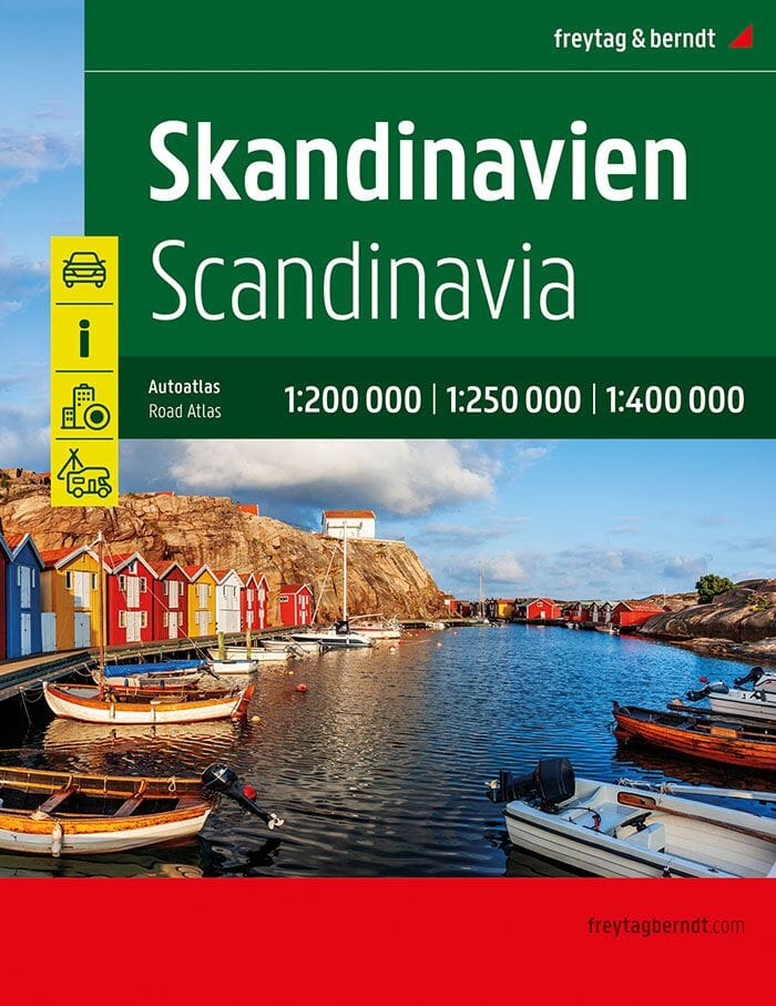
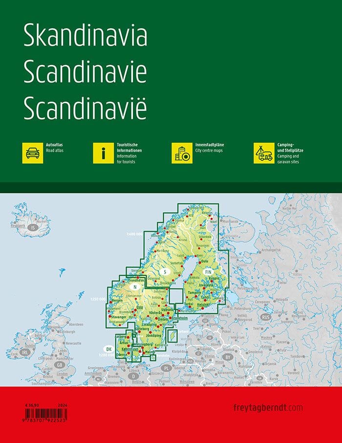
Road map – Sweden 1:600,000 (Freytag & Berndt)
This detailed road map of Sweden at 1:600,000 is the perfect tool for all travelers by car, motorcycle or camper van. Thanks to precise mapping and a wealth of tourist information, it facilitates both planning your route and orientation on site .
✅ Key information:
-
Scale : 1:600,000
-
Unfolded size : approx. 127 × 97 cm
-
Detailed road network , with distances indicated
-
Tourist sites and points of interest
-
Clearly marked campsites and motorhome areas
-
Index of localities with postal codes
-
City maps included : Stockholm , Gothenburg and Linköping
🧭 Ideal for:
-
Motorists looking for reliable planning
-
Bikers wanting to discover the great Swedish outdoors
-
Motorhome owners looking for practical and well-located stops
A reference map for exploring Sweden freely, with all the essential information at your fingertips.
Also available: Sweden Regional Map Series:
Map No. 1 - South Sweden
Map No. 2 - Southwest Sweden
Map No. 3 - South-East Sweden
Map No. 4 - Central Sweden
Map No. 5 - North Sweden
Map No. 6 - Swedish Lapland
ISBN/EAN : 9783707924015
Publication date: 2025
Scale: 1/600,000 (1 cm = 6 km)
Printed sides: both sides
Folded dimensions: 25.6 x 13 x 0.8cm
Unfolded dimensions: 127 x 97 cm
Language(s): French, English, German
Weight:
133 g


