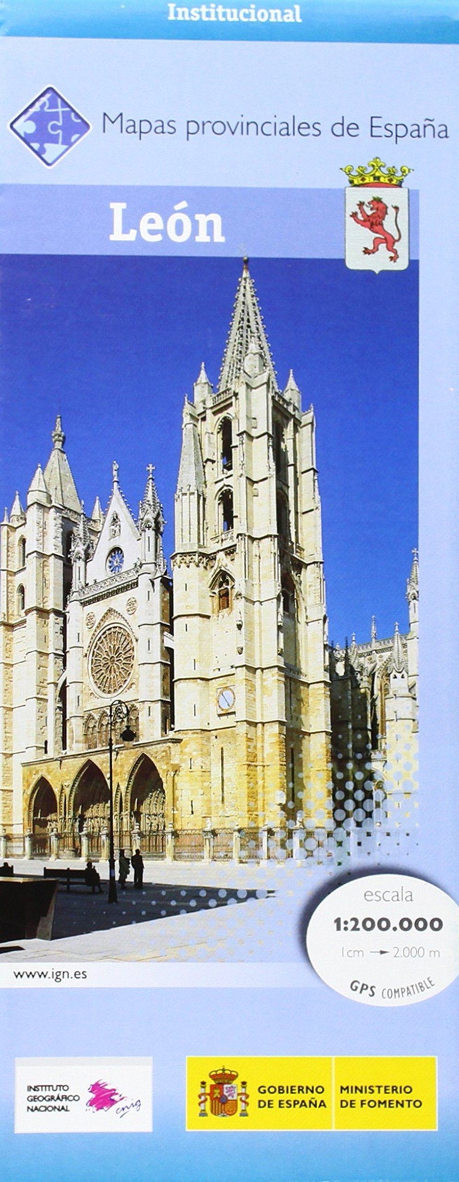
Carte routière provinciale - Palencia (Castille-et-Leon, Espagne), n° 35 | CNIG carte pliée CNIG

Provincial road map # 35 - Palencia (Castile and Leon, Spain) | CNIG

Provincial road map # 35 - Palencia (Castile and Leon, Spain) | CNIG

Regular price $9.00
/
  • Shipping within 24 working hours from our warehouse in France
  • Delivery costs calculated instantly in the basket
  • Free returns (*)
  • Real-time inventory
  • Low stock - 2 items left
  • Backordered, shipping soon
Tax included.
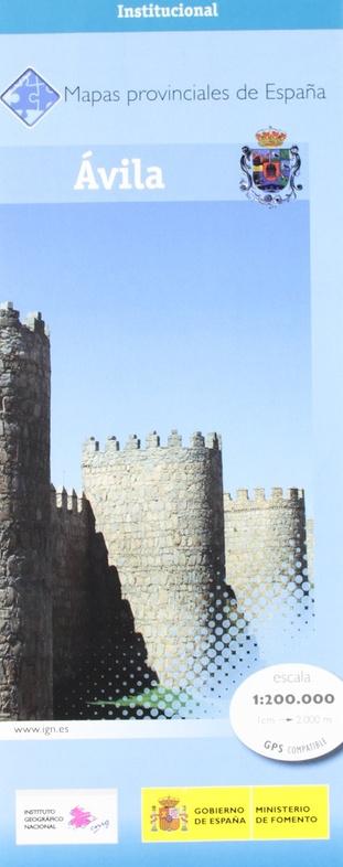
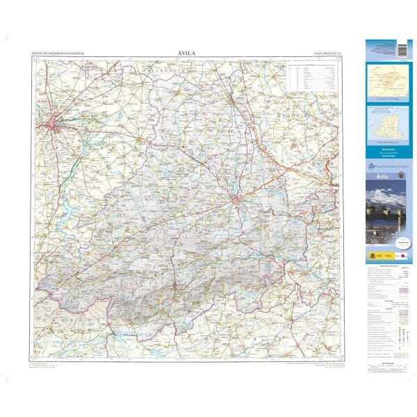
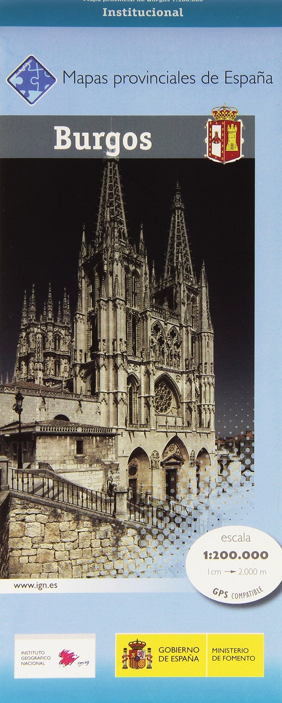
Detailed Provincial road map of Spain published by the Spanish publisher Cnig.
Indication of national parks, vegetation and place names.

Tourist information (campsites, paraders, points of interest).
Level curves spaced from 100 m. Particularly suitable for cyclists by the accuracy of the present information.
Scale 10,000 (1 cm = 2 km).
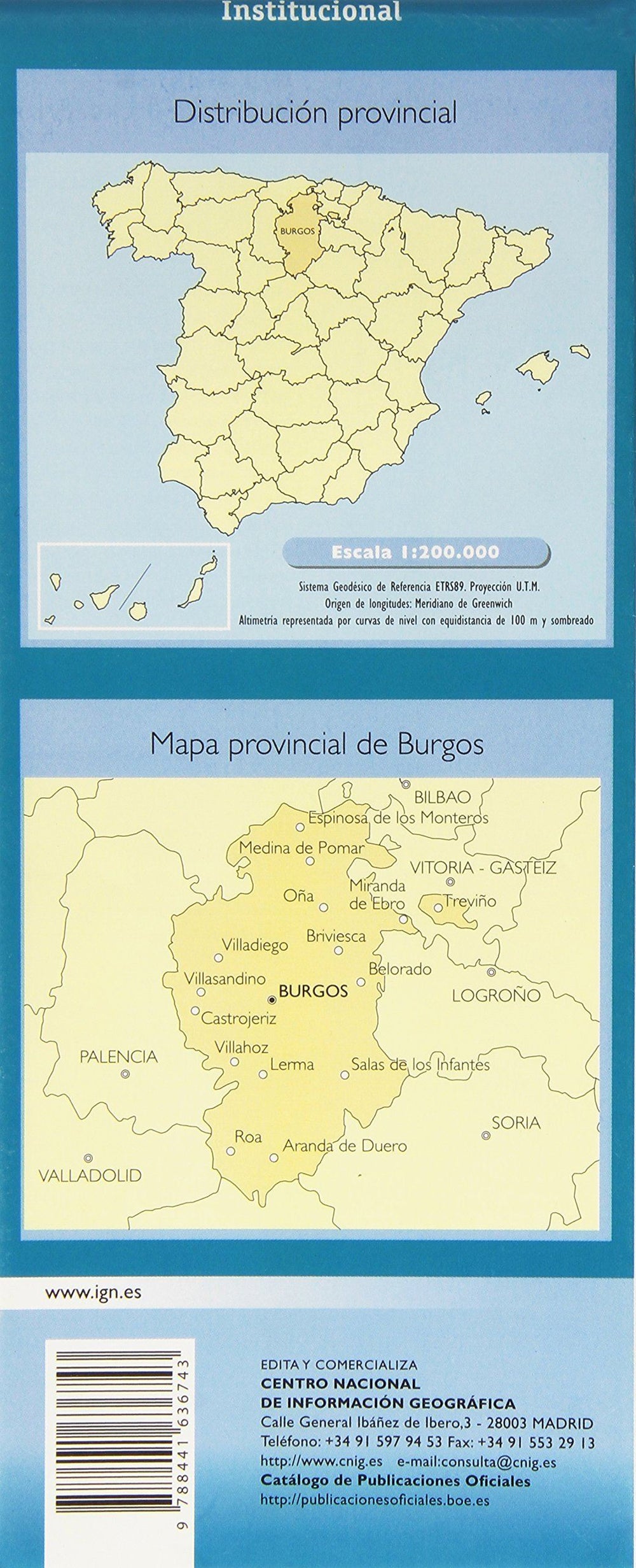
This series of regional maps includes 48 maps.


ISBN/EAN : 9788441633582
Publication date: 2014
Scale: 1/200,000 (1cm=2km)
Printed sides: front
Folded dimensions: 10x25cm
Unfolded dimensions: 100 x 75cm
Language(s): Spanish
Poids : 89 g

Customer Reviews

No reviews yet
0%
(0)
0%
(0)
0%
(0)
0%
(0)
0%
(0)