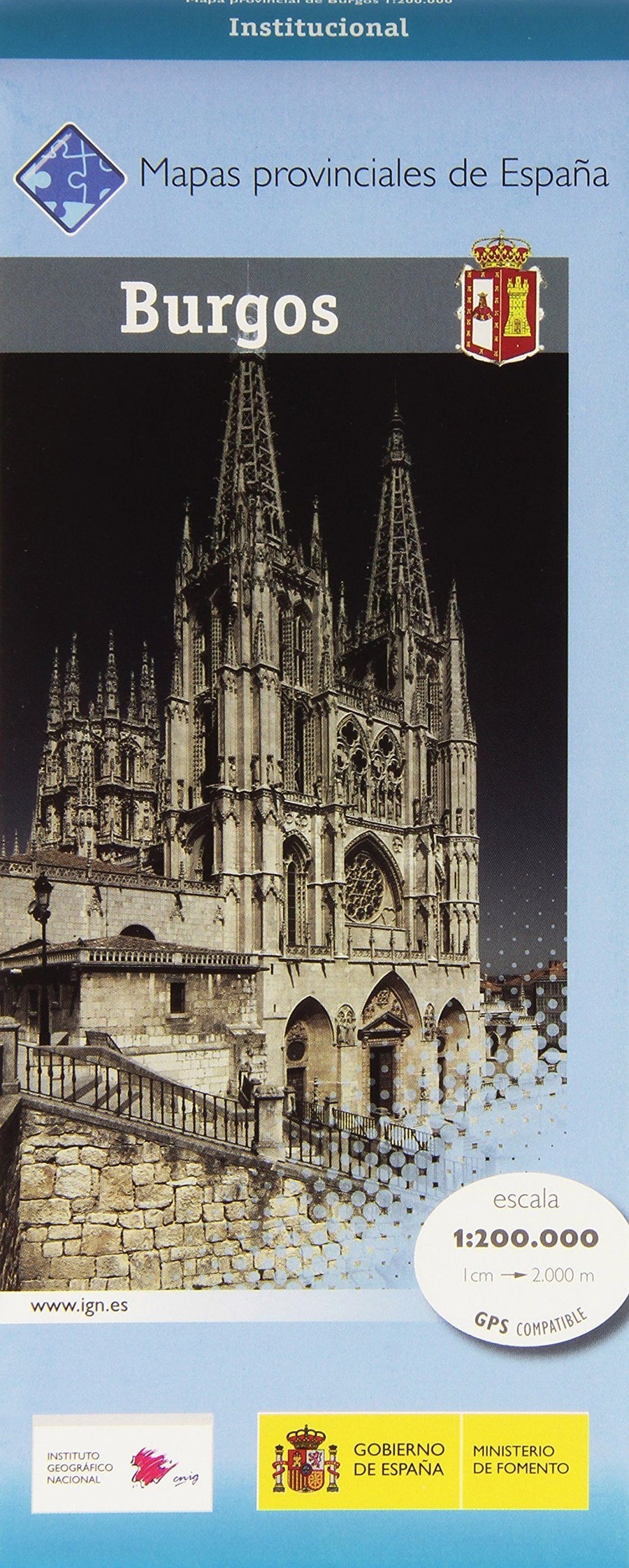
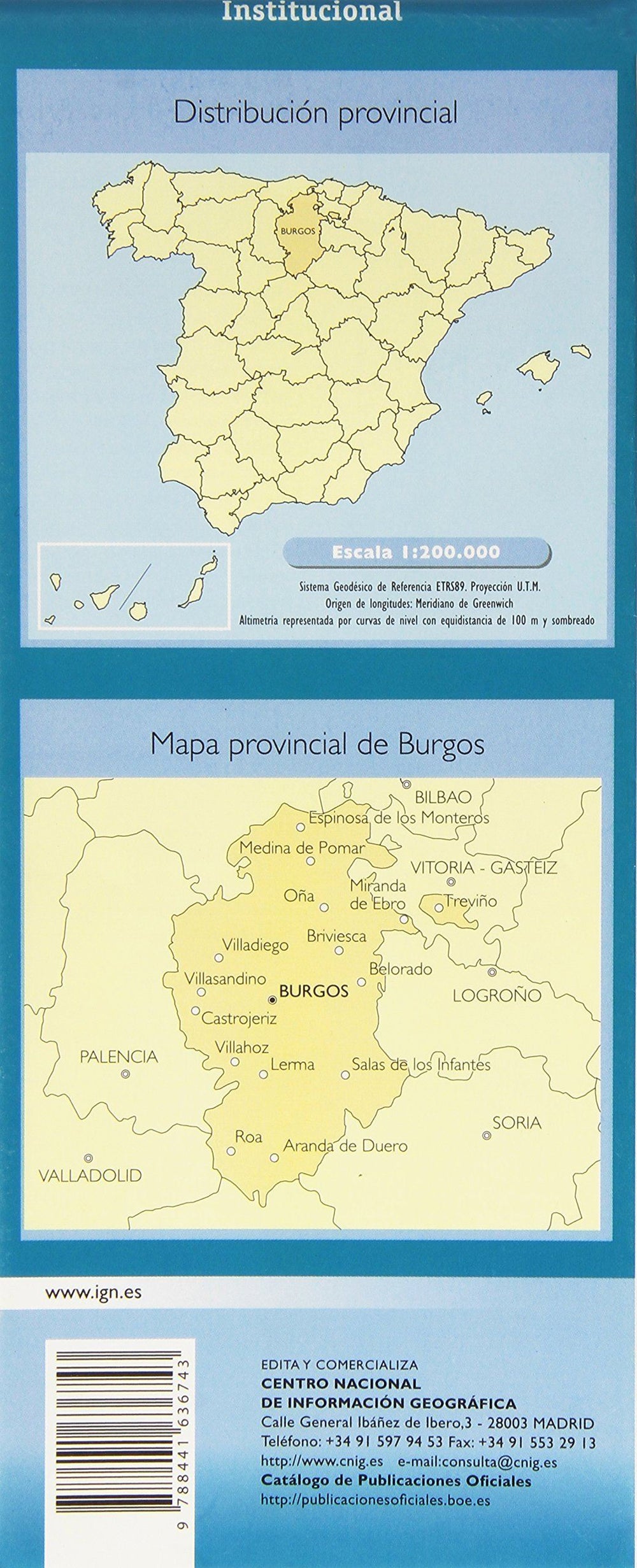
Provincial road map No. 10 - Burgos (Castile and Leon, Spain) | CNIG
Regular price
$10.00
Regular price
Sale price
$10.00
Save $-10
/
- Shipping within 24 working hours from our warehouse in France
- Delivery costs calculated instantly in the basket
- Free returns (*)
- Real-time inventory
- In stock, ready to ship
Related geographic locations and collections: Castile and León, Spain, Spain - CNIG regional maps at 1/200,000