Carte routière - Province du Mpumalanga & Parc National Kruger (Afrique du Sud) - 6ème édition| MapStudio carte de voyage MapStudio

Road Map - Mpumalanga Province & Kruger National Park (South Africa) - 6th Edition | MapStudio

Price
Regular price $14.00
Regular price $18.00 Sale price $14.00
Save $4
/
  • Shipping within 24 working hours from our warehouse in France
  • Delivery costs calculated instantly in the basket
  • Free returns (*)
  • Real-time inventory
  • Low stock - 1 item left
  • Backordered, shipping soon
Tax included.

Often purchased together:

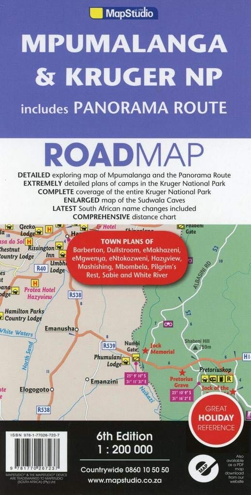
Detailed road map of Mpumalanga Province (South Africa) published by MapStudio. This detailed map covers the Panorama Route and Kruger National Park. On the back, a detailed map of Kruger National Park with tourist information (accommodation, activities, etc.).

Detailed street and site maps with text and photographs of Pilgrims Rest, Mashishing (Lydenburg), Dullstroom, Sudwala Caves, eMakhazeni (Belfast), eNtokozweni (Machadodorp), White River, Sabie, eMgwenya (Waterval Boven), Hazyview, Mbombela (Nelspruit) and Barberton.

Easy-to-use map symbols indicating hotels, lodges, rest camps, campsites, concession areas, bush camps, private camps and lodges, caravan facilities, caves, lookouts, waterholes, hideouts, and much more. Information on hiking, trekking, walking, and fly fishing. Accompanied by an alphabetical index, an enlarged map of the Sudwala Caves, and color images, this road map is an excellent holiday reference.

Highlights:
• Ideal map for tours in Mpumalanga, Kruger National Park and the Panorama Route
• 11 detailed city maps
• Detailed map of Kruger National Park
• Key tourist information

Scale 1/200,000 (1 cm = 2 km).


ISBN/EAN : 9781770267237
Publication date: 2016
Scale: 1/200,000 (1 cm = 2 km)
Printed sides: both sides
Folded dimensions: 25 x 13 x 0.3cm
Unfolded dimensions: 100 x 69cm
Language(s): English
Weight: 84 g

Customer Reviews

Be the first to write a review
0%
(0)
0%
(0)
0%
(0)
0%
(0)
0%
(0)