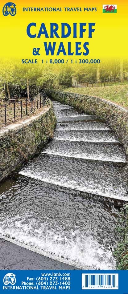
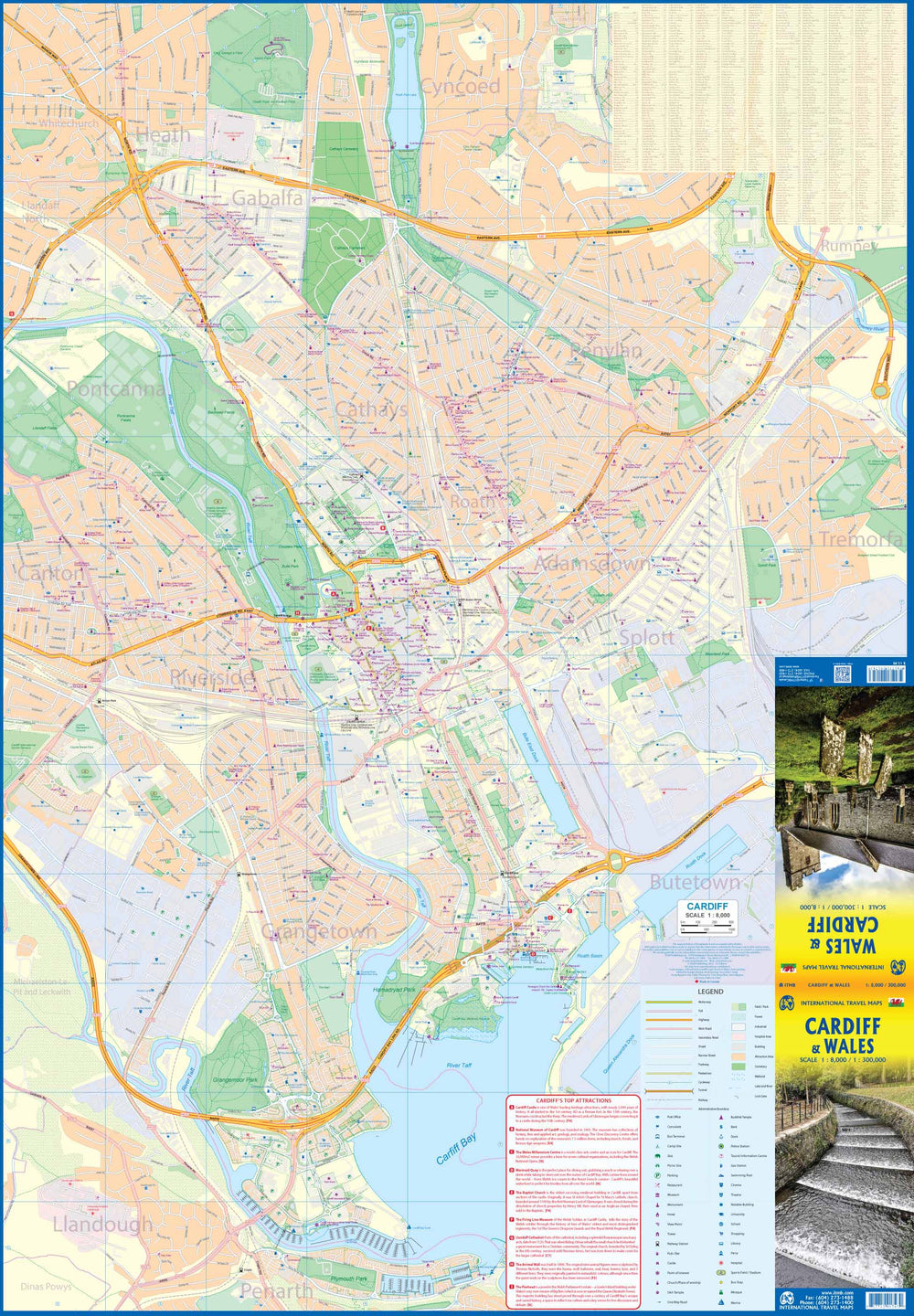
Map of Wales published by AA Publishing. Scale 1: 250,000 (1 cm = 2.5 km). This map highlights national parks and tourist areas.
The map shows tolls, service areas, road numbers, highways, wide and narrow pathways as well as local roads. Campsites are geolocated on the map.
National parks and places of interest are also highlighted. Index of the cities provided.
ISBN/EAN : 9780749584115
Publication date: 2024
Scale: 1/250,000 (1cm=2.5km)
Printed sides: both sides
Folded dimensions: 26 x 12 x 0.5cm
Unfolded dimensions: 116 x 91cm
Language(s): English
Weight:
90 g


