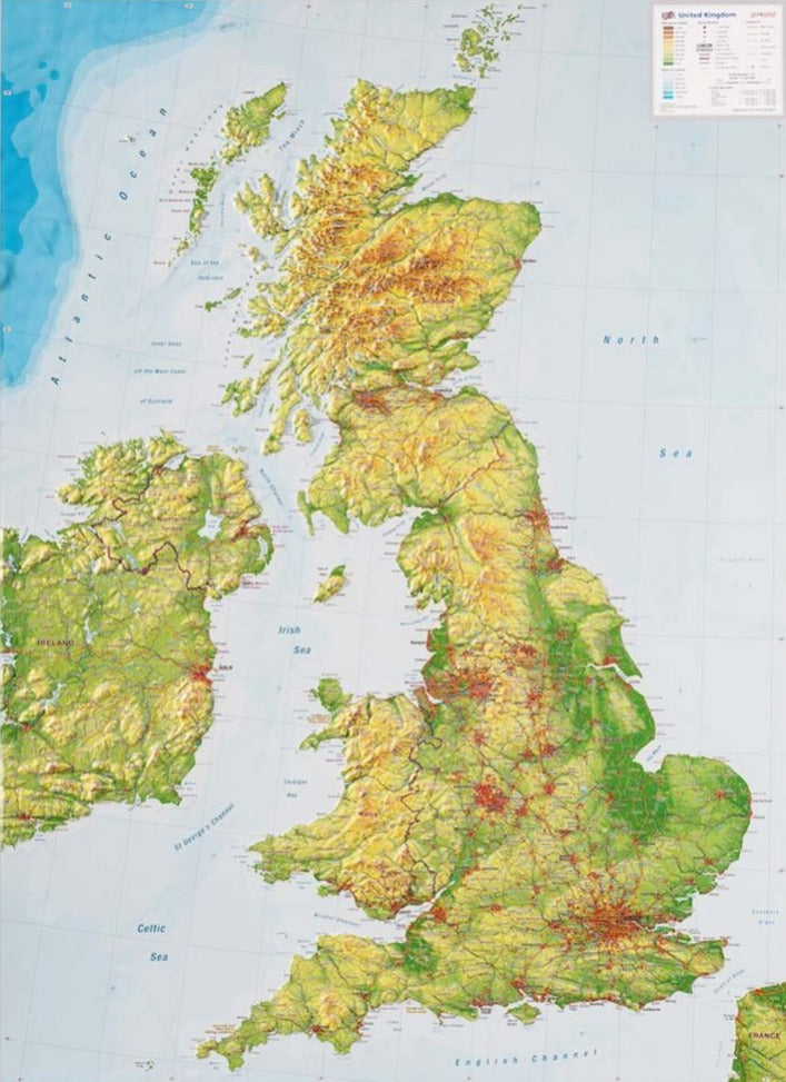
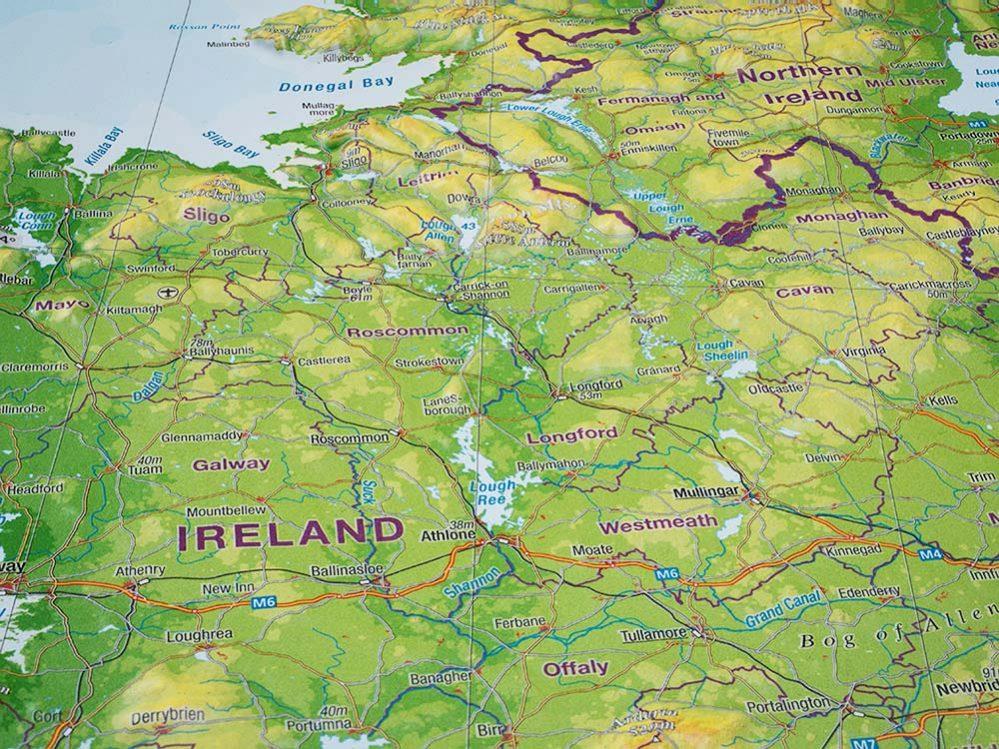
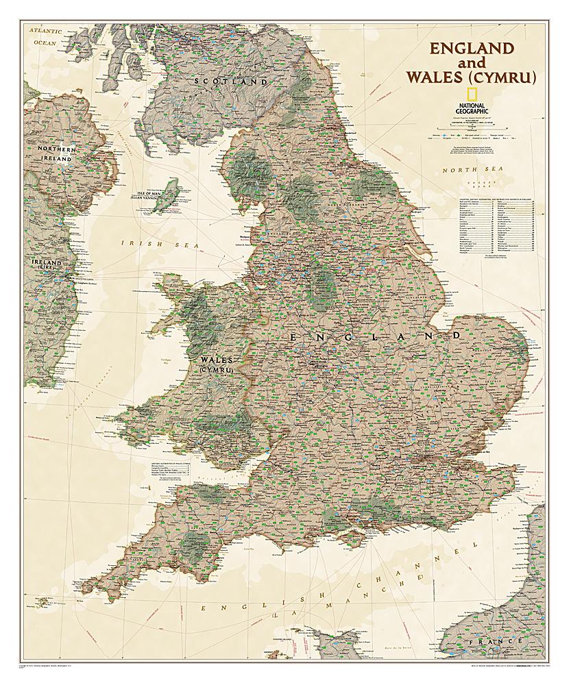
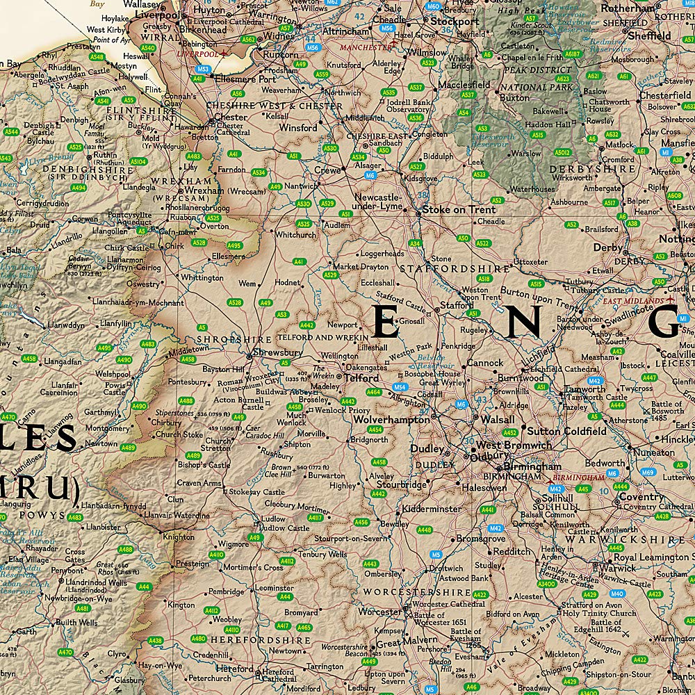
Road Map No. 3 - South East England | AA Publishing
Regular price
$9.00
Regular price
$11.00
Sale price
$9.00
Save $2
/
- Shipping within 24 working hours from our warehouse in France
- Delivery costs calculated instantly in the basket
- Free returns (*)
- Real-time inventory
- Low stock - 1 item left
Related geographic locations and collections: England, General England