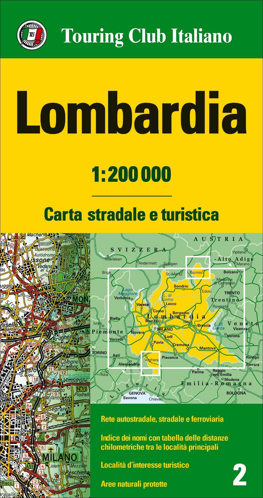
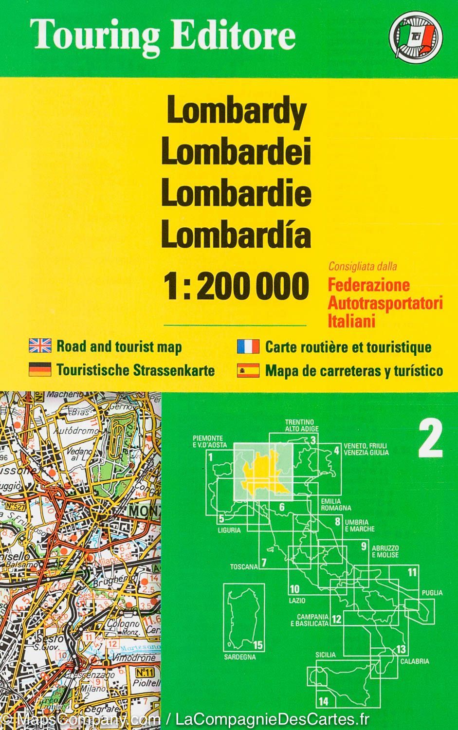
Detailed map of Lombardy (Italy) published by the Touring Club ItaliaNo. This map covers the Milan and Brescia regions. Topography of the relief. The names of mountain ranges, valleys, peaks, etc. are presented, and national parks and other protected areas are highlighted. Driving distances are indicated on many local roads. Places of interest and scenic drives are marked on the map. Index of towns and distance table on the reverse.
Scale 1/200,000 (1 cm = 2 km).
ISBN/EAN : 9788836583225
Publication date: 2025
Scale: 1/200,000 (1 cm = 2 km)
Printed sides: front
Folded dimensions: 23.5 x 12.5cm
Unfolded dimensions: 136 x 93cm
Language(s): French, English, German, Italian
Weight:
125 g