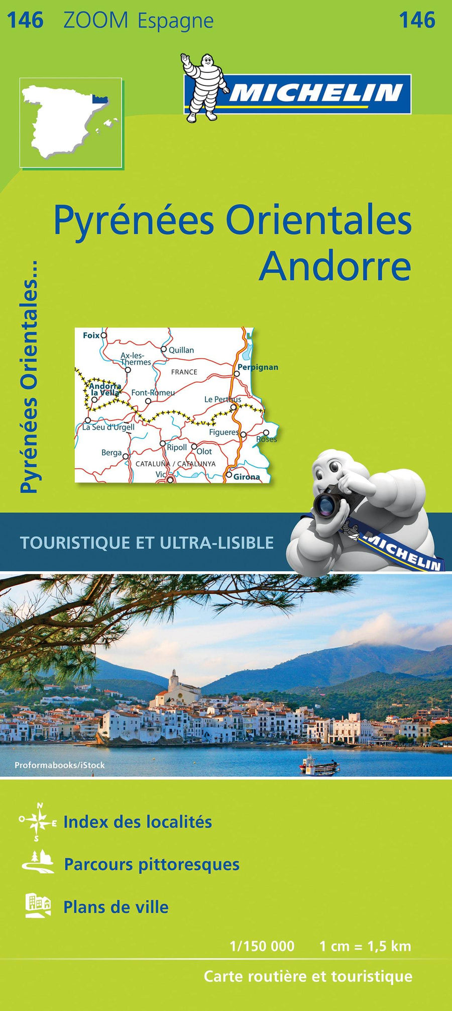
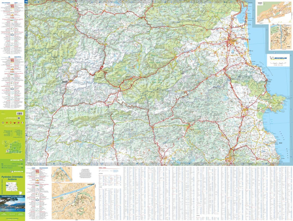
Road map # 146 - Eastern Pyrenees & Andorra - WALL AND LAMINATED VERSION | Michelin - Zoom Spain

Price
Regular price $70.00
Regular price Sale price $70.00
Save $-70
/
  • Product made to order - Shipping within 7 to 10 working days from our workshop
  • Delivery costs calculated instantly in the basket
Tax included.

Often purchased together:

This is a poster version laminated of Road map No. 146 - Eastern Pyrenees & Andorra | Michelin

Michelin road map of the Pyrénées Orientales and Andorra. This detailed map extends from Foix to Girona (north to south) and covers the Pyrenees located east of the Pic d'Estats. Distances indicated on the map.

Indication of the picturesque routes and small maps of the town centers of Perpignan, Andorra la Vella and Girona. Index of cities.

Note: this card is laminated on demand, based on the original card which is folded. The folds remain a little visible.

The card is delivered rolled in a cardboard tube.

An additional period of one to two weeks is necessary for the manufacture of the card.

As this product is custom made at the request of our customers, it cannot be returned to us.


ISBN / EAN : 9782067218161P
Date de publication : 2020
Echelle : 1/150,000 (1cm=1.5km)
Impression: front
Dimensions déplié(e) : 143 x 100cm
Langue : French
Poids : 200 g

Customer Reviews

No reviews yet
0%
(0)
0%
(0)
0%
(0)
0%
(0)
0%
(0)