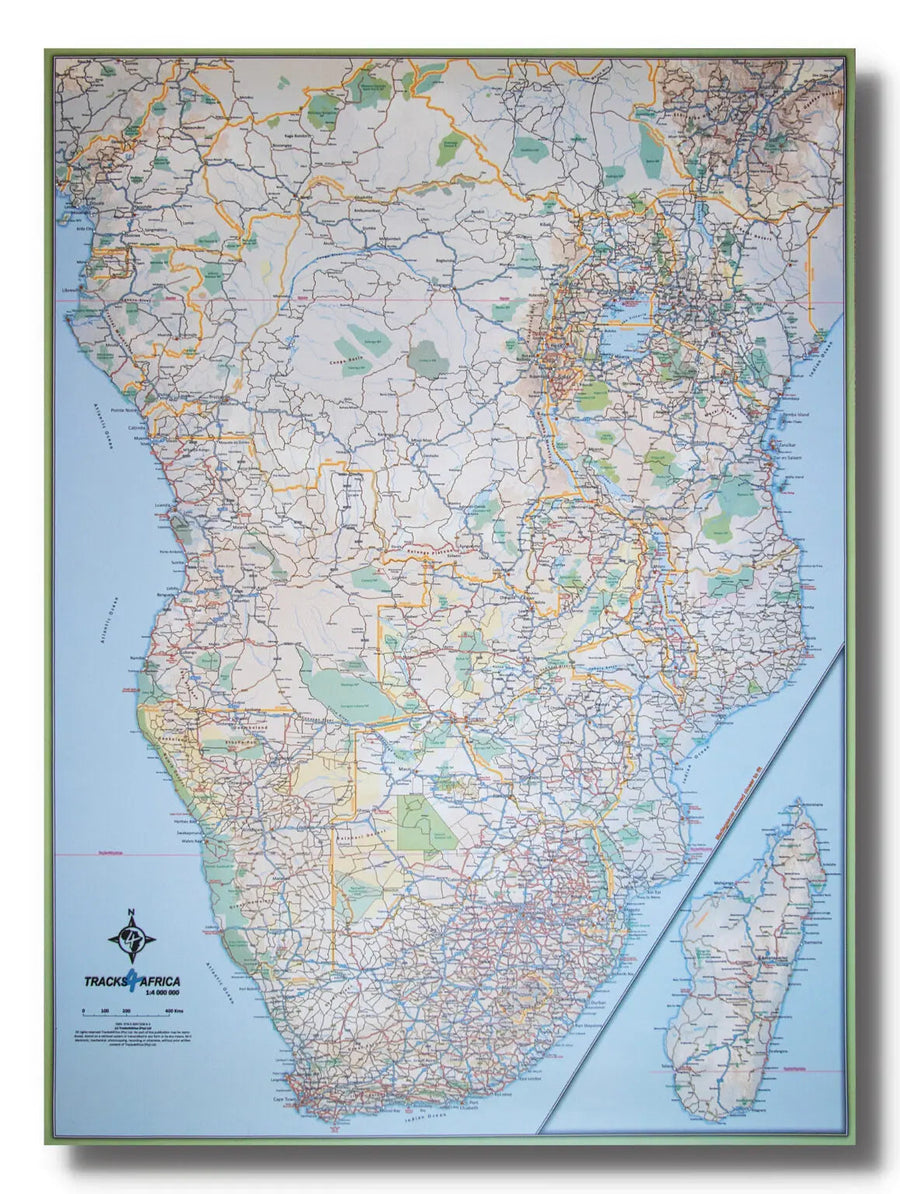
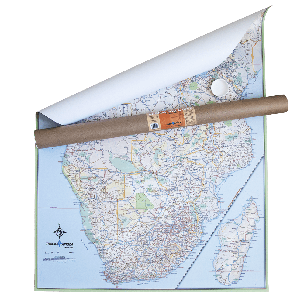
Road Map - Mozambique and Malawi - 2017 Edition | Tracks4Africa
Regular price
$21.00
Regular price
$30.00
Sale price
$21.00
Save $9
/
- Shipping within 24 working hours from our warehouse in France
- Delivery costs calculated instantly in the basket
- Free returns (*)
- Real-time inventory
- Low stock - 1 item left
Related geographic locations and collections: Malawi, Mozambique