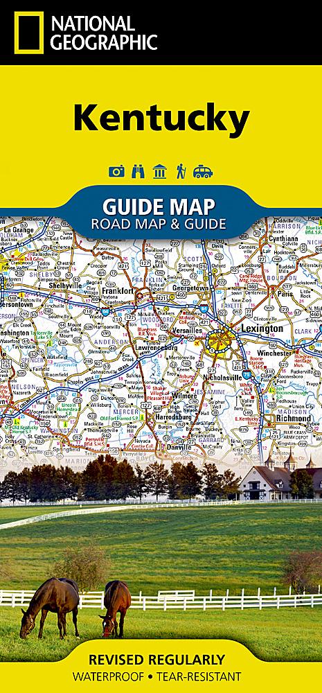
Map of Kentucky (USA) published by National Geographic. The map covers the entire state of the United States.
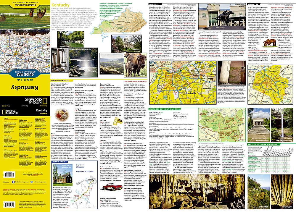
Mile distances are noted on the main highways so that travelers can easily plan their best route. In addition to a status map, insert maps provide details of the Covington, Ky - Cincinnati, Owensboro area Frankfurt, Louisville and Lexington.
Additional information and maps presents the leisure activities available in Mammoth Cave National Park and attractions along the Kentucky Heartland Panoramic Road, which extends from Lexington In Harrodsburg. National and regional parks, public campsites, tourist information centers, airports, ski areas, hospitals, etc. A practical map of the park service sites and climate information are also included.
This map is waterproof and resistant to tearing. Scale 1/1 140 000 (1 cm = 11 km).
ISBN/EAN : 9781566957861
Publication date: 2022
Scale: 1/1,140,000 (1cm=11.4km)
Printed sides: both sides
Folded dimensions: 22.2 x 10.8cm
Unfolded dimensions: 63 x 46cm
Language(s): English
Weight:
41 g


