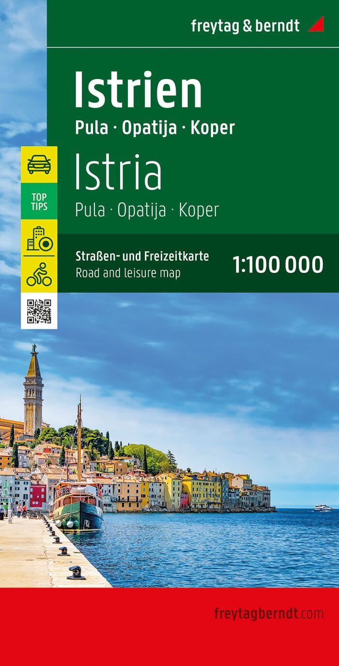
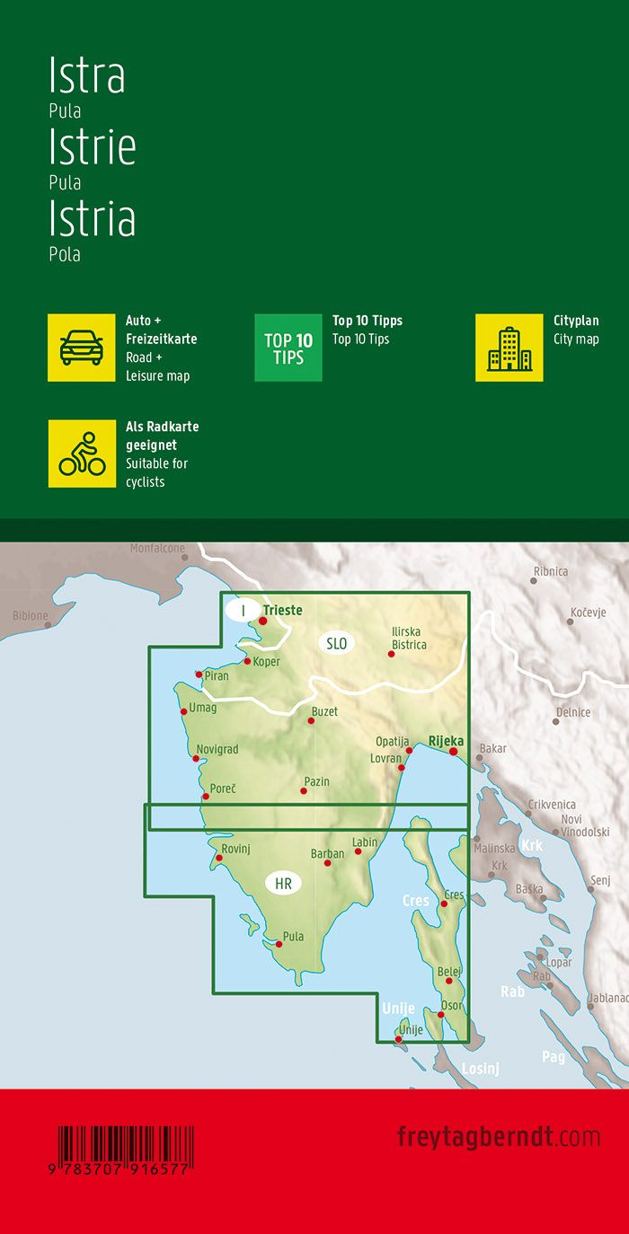
Detailed map of Istria and Pula published by freytag & amp Berndt. Tourist information (ports, campsites, points of interest ...), Maritime links and cities index included Multilingual legend. Indication of cycle paths and 10 tourist sites not to be missed.
1/100 000 scale (1 cm = 1 km).
ISBN/EAN : 9783707923230
Publication date: 2024
Scale: 1/100,000 (1cm=1km)
Printed sides: both sides
Folded dimensions: 25.6 x 13 x 0.8cm
Unfolded dimensions: 125 x 95cm
Language(s): French, English, German, Spanish, Italian, local language
Weight:
134 g


