Carte routière n° 386 - Gippsland discovery (Victoria, Australie) | UBD Gregory's carte pliée UBD Gregory's

Road map # 386 - Gippsland Discovery (Victoria, Australia) | UBD Gregory's

Road map # 386 - Gippsland Discovery (Victoria, Australia) | UBD Gregory's

Regular price $14.00
/
  • Shipping within 24 working hours from our warehouse in France
  • Delivery costs calculated instantly in the basket
  • Free returns (*)
  • Real-time inventory
  • In stock, ready to ship
  • Backordered, shipping soon
Tax included.
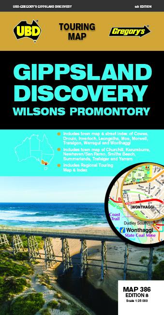
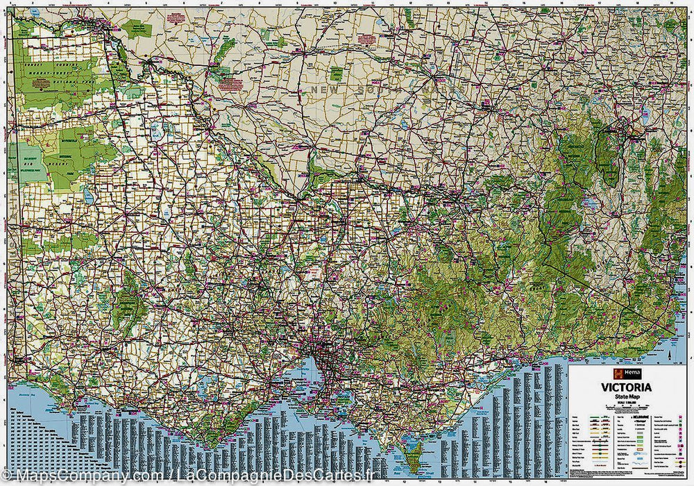
Gippsland and Wilsons Promontory tourist map to use when traveling in the area.
Includes a regional map and cities indexes covering Buxton north, the Wilsons promontory south, Heyfield in the east and Craigieburn south.
There is also a street mapping and cities descriptions for the cities of Churchill, Cowes, Inverloch, Korumburra, Leongatha, Moe, Morwell, Trararalgon, Warragul and Yarram , as well as maps of the cities of Drouin and Trafalgar.
Phillip Island is also covered with Cowes Plans, Newhaven, San Remo, Smiths Beach and Summerlands.
You will find a detailed description of the main attractions and activities of The region and a list of visitor information centers.


ISBN/EAN : 9780731932337
Publication date: 2020
Scale: 1/25,000 (1cm=250m)
Printed sides: both sides
Folded dimensions: 22.5 x 11.5cm
Unfolded dimensions: 69 x 92cm
Language(s): English
Poids : 80 g

Customer Reviews

No reviews yet
0%
(0)
0%
(0)
0%
(0)
0%
(0)
0%
(0)