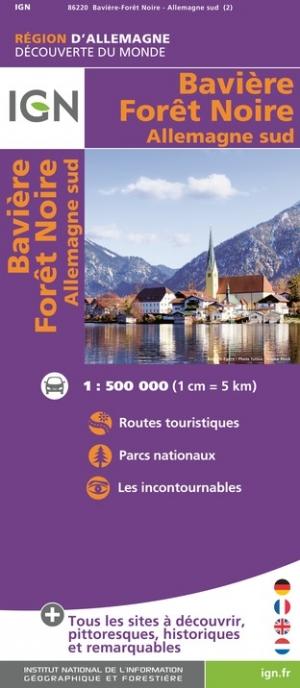
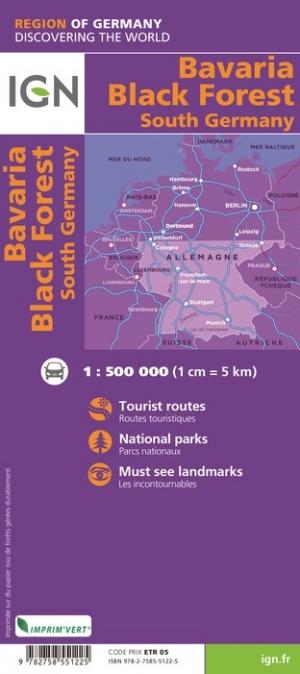
Road map of the Black Forest region and Lake Constance published by freytag & amp Berndt. This detailed map highlights the picturesque villages and national parks, with a selection of campsites, hostels, museums, spas, various monuments and places of interest marked by symbols.
Relief mapping, distances shown on the map.
Index of cities included for a quick orientation.
Multilingual Legend (French, English, German, Italian, Spanish ...)
ISBN/EAN : 9783707922479
Publication date: 2024
Scale: 1/150,000 (1cm=1.5km)
Printed sides: front
Folded dimensions: 25.5 x 13cm
Unfolded dimensions: 124 x 96cm
Language(s): multilingual including French
Weight:
120 g


